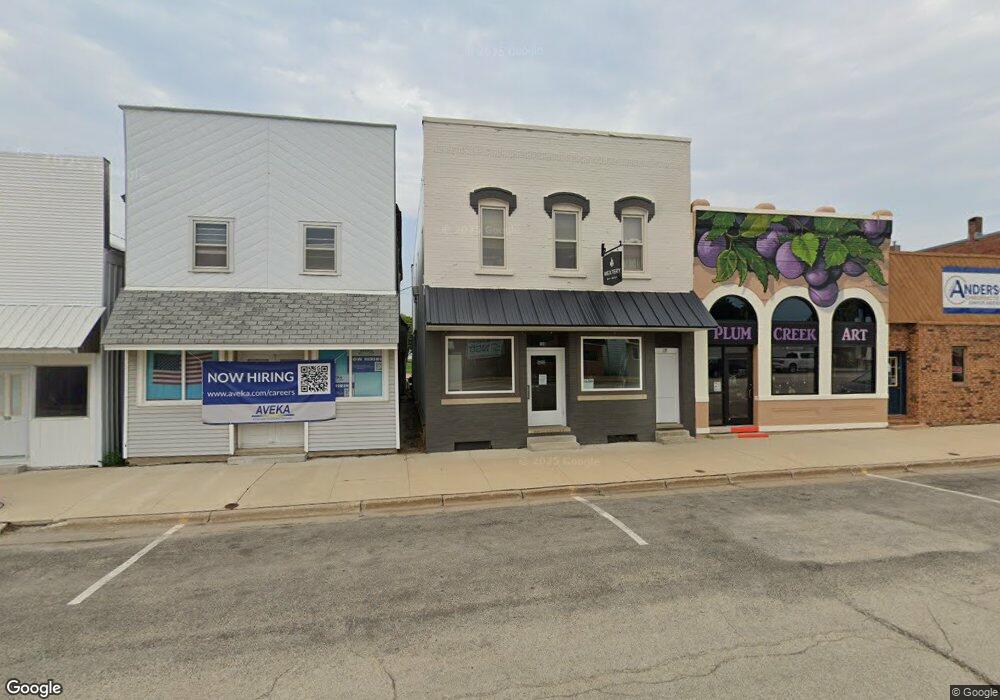
135 W Main St Fredericksburg, IA 50630
Estimated Value: $49,895
--
Bed
--
Bath
2,450
Sq Ft
$20/Sq Ft
Est. Value
About This Home
This home is located at 135 W Main St, Fredericksburg, IA 50630 and is currently estimated at $49,895, approximately $20 per square foot. 135 W Main St is a home located in Chickasaw County with nearby schools including Fredericksburg Elementary School, Sumner-Fredericksburg Middle School, and Sumner-Fredericksburg High School.
Ownership History
Date
Name
Owned For
Owner Type
Purchase Details
Closed on
Oct 13, 2021
Sold by
Wendland Mark L and Wendland Janice B
Bought by
Wendland Kyle W and Wendland Megan M
Current Estimated Value
Home Financials for this Owner
Home Financials are based on the most recent Mortgage that was taken out on this home.
Original Mortgage
$40,000
Outstanding Balance
$36,476
Interest Rate
2.8%
Mortgage Type
New Conventional
Estimated Equity
$13,419
Create a Home Valuation Report for This Property
The Home Valuation Report is an in-depth analysis detailing your home's value as well as a comparison with similar homes in the area
Home Values in the Area
Average Home Value in this Area
Purchase History
| Date | Buyer | Sale Price | Title Company |
|---|---|---|---|
| Wendland Kyle W | $40,000 | None Listed On Document |
Source: Public Records
Mortgage History
| Date | Status | Borrower | Loan Amount |
|---|---|---|---|
| Open | Wendland Kyle W | $40,000 |
Source: Public Records
Tax History Compared to Growth
Tax History
| Year | Tax Paid | Tax Assessment Tax Assessment Total Assessment is a certain percentage of the fair market value that is determined by local assessors to be the total taxable value of land and additions on the property. | Land | Improvement |
|---|---|---|---|---|
| 2025 | $604 | $62,400 | $5,900 | $56,500 |
| 2024 | $604 | $41,100 | $5,900 | $35,200 |
| 2023 | $594 | $41,100 | $5,900 | $35,200 |
| 2022 | $664 | $38,000 | $3,900 | $34,100 |
| 2021 | $664 | $38,000 | $3,900 | $34,100 |
| 2020 | $666 | $36,300 | $3,900 | $32,400 |
| 2019 | $628 | $33,600 | $0 | $0 |
| 2018 | $628 | $33,600 | $0 | $0 |
| 2017 | $630 | $33,400 | $0 | $0 |
| 2016 | $638 | $33,400 | $0 | $0 |
| 2015 | $632 | $33,400 | $0 | $0 |
| 2014 | $494 | $19,440 | $0 | $0 |
Source: Public Records
Map
Nearby Homes
- 106 W Mill St
- 401 Birch Dr
- Lot 1 Schult Ridge & Lions Rd
- Lot 2 Schult Ridge & Lions Rd
- Lot 6 Schult Ridge & Lions Rd
- Lot 3 Schult Ridge & Lions Rd
- Lot 5 Schult Ridge & Lions Rd
- Lot 4 Schult Ridge & Lions Rd
- 2609 280th St
- 3089 260th St
- 2470 270th St
- 2488 239th St
- 2399 250th St
- 2762 110th St
- TBD Bare Land 110th St
- 0 Tbd Bare Land 110th St
- 204 S Benz St
- 306 N Brush St
- 2378 Iowa 24
- 2210 S Linn Ave
- 2728 207th St
- 107 W Main St
- 107 W Main St
- 100 W Main St
- 160 W Main St
- 174 N Washington Ave
- 110 W Mill St
- 106 E Main St
- 183 N Woodward Ave
- 175 N Washington Ave
- 128 E Main St
- 185 S Washington Ave
- 160 N Woodward Ave
- 183 N Washington Ave
- 109 W Railroad St
- 205 W Main St
- 113 W Railroad St
- 107 W Mill St
- 117 S Woodward Ave
- 109 W Mill St