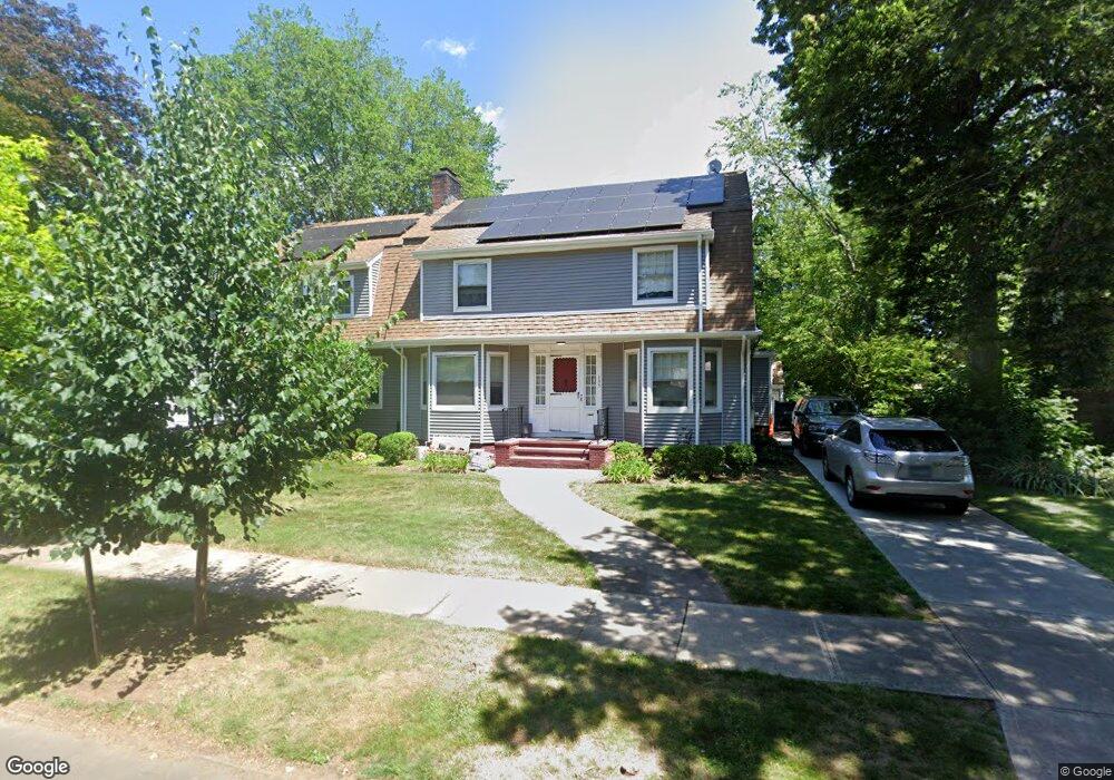
135 Westwood Rd New Haven, CT 06515
Westville NeighborhoodEstimated Value: $718,000 - $972,000
4
Beds
5
Baths
3,138
Sq Ft
$279/Sq Ft
Est. Value
About This Home
This home is located at 135 Westwood Rd, New Haven, CT 06515 and is currently estimated at $876,063, approximately $279 per square foot. 135 Westwood Rd is a home located in New Haven County with nearby schools including Elm City Montessori School and Hopkins School.
Ownership History
Date
Name
Owned For
Owner Type
Purchase Details
Closed on
Oct 3, 2019
Sold by
Bordeaux Sharon
Bought by
Bordeaux Hester D
Current Estimated Value
Purchase Details
Closed on
Aug 27, 2013
Sold by
Macedonia Church Of Go
Bought by
Bordeaux Sharon
Create a Home Valuation Report for This Property
The Home Valuation Report is an in-depth analysis detailing your home's value as well as a comparison with similar homes in the area
Home Values in the Area
Average Home Value in this Area
Purchase History
| Date | Buyer | Sale Price | Title Company |
|---|---|---|---|
| Bordeaux Hester D | -- | -- | |
| Bordeaux Sharon | -- | -- |
Source: Public Records
Mortgage History
| Date | Status | Borrower | Loan Amount |
|---|---|---|---|
| Previous Owner | Bordeaux Sharon | $400,000 | |
| Previous Owner | Bordeaux Sharon | $125,000 | |
| Previous Owner | Bordeaux Sharon | $125,000 |
Source: Public Records
Tax History Compared to Growth
Tax History
| Year | Tax Paid | Tax Assessment Tax Assessment Total Assessment is a certain percentage of the fair market value that is determined by local assessors to be the total taxable value of land and additions on the property. | Land | Improvement |
|---|---|---|---|---|
| 2025 | $13,338 | $338,520 | $77,490 | $261,030 |
| 2024 | $13,033 | $338,520 | $77,490 | $261,030 |
| 2023 | $12,593 | $338,520 | $77,490 | $261,030 |
| 2022 | $13,456 | $338,520 | $77,490 | $261,030 |
| 2021 | $11,820 | $269,360 | $60,340 | $209,020 |
| 2020 | $11,820 | $269,360 | $60,340 | $209,020 |
| 2019 | $11,577 | $269,360 | $60,340 | $209,020 |
| 2018 | $11,577 | $269,360 | $60,340 | $209,020 |
| 2017 | $10,419 | $269,360 | $60,340 | $209,020 |
| 2016 | $11,393 | $274,190 | $71,470 | $202,720 |
| 2015 | $11,393 | $274,190 | $71,470 | $202,720 |
| 2014 | $11,393 | $274,190 | $71,470 | $202,720 |
Source: Public Records
Map
Nearby Homes
- 1975 Chapel St
- 119 Westwood Rd
- 55 Marvel Rd
- 206 W Rock Ave
- 699 Forest Rd
- 126 Willard St
- 690 Forest Rd Unit 702
- 690 Forest Rd Unit 392
- 690 Forest Rd Unit 511
- 96 Hubinger St
- 595 Central Ave
- 907 Elm St
- 360 Fountain St Unit 5
- 868 Elm St
- 55 Irving St
- 36 Birch Dr
- 865 Elm St
- 11 Priscilla Rd
- 30 Ellsworth Ave
- 1016 Whalley Ave Unit 6