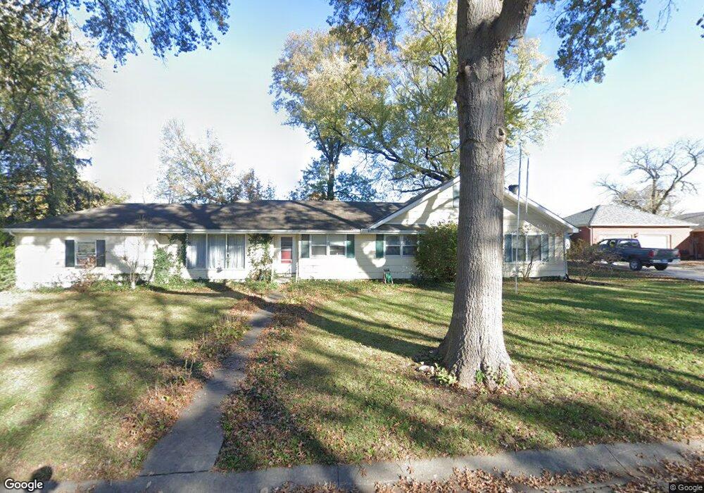
135 Woodland St Lansing, KS 66043
Estimated Value: $223,000 - $321,000
4
Beds
2
Baths
2,048
Sq Ft
$125/Sq Ft
Est. Value
About This Home
This home is located at 135 Woodland St, Lansing, KS 66043 and is currently estimated at $256,874, approximately $125 per square foot. 135 Woodland St is a home located in Leavenworth County with nearby schools including Lansing Elementary School, Lansing Middle 6-8, and Lansing High 9-12.
Ownership History
Date
Name
Owned For
Owner Type
Purchase Details
Closed on
Apr 5, 2018
Sold by
Clark Michael S
Bought by
Clark Schaller and Clark Andrea
Current Estimated Value
Purchase Details
Closed on
Dec 1, 1991
Bought by
Clark Michael S and Clark Schaller
Home Financials for this Owner
Home Financials are based on the most recent Mortgage that was taken out on this home.
Original Mortgage
$100,000
Interest Rate
8.7%
Mortgage Type
New Conventional
Create a Home Valuation Report for This Property
The Home Valuation Report is an in-depth analysis detailing your home's value as well as a comparison with similar homes in the area
Home Values in the Area
Average Home Value in this Area
Purchase History
| Date | Buyer | Sale Price | Title Company |
|---|---|---|---|
| Clark Schaller | -- | None Listed On Document | |
| Clark Michael S | $62,000 | -- |
Source: Public Records
Mortgage History
| Date | Status | Borrower | Loan Amount |
|---|---|---|---|
| Previous Owner | Clark Michael S | $100,000 |
Source: Public Records
Tax History Compared to Growth
Tax History
| Year | Tax Paid | Tax Assessment Tax Assessment Total Assessment is a certain percentage of the fair market value that is determined by local assessors to be the total taxable value of land and additions on the property. | Land | Improvement |
|---|---|---|---|---|
| 2025 | $3,091 | $25,095 | $5,105 | $19,990 |
| 2024 | $2,893 | $23,453 | $4,104 | $19,349 |
| 2023 | $2,893 | $22,551 | $4,104 | $18,447 |
| 2022 | $2,782 | $20,501 | $3,265 | $17,236 |
| 2021 | $2,642 | $18,469 | $3,265 | $15,204 |
| 2020 | $2,528 | $17,407 | $3,359 | $14,048 |
| 2019 | $3,514 | $24,035 | $3,359 | $20,676 |
| 2018 | $3,347 | $22,917 | $2,757 | $20,160 |
| 2017 | $3,175 | $21,707 | $2,757 | $18,950 |
| 2016 | $3,032 | $20,733 | $2,757 | $17,976 |
| 2015 | -- | $20,393 | $2,757 | $17,636 |
| 2014 | -- | $19,895 | $2,757 | $17,138 |
Source: Public Records
Map
Nearby Homes
- 268 Holiday Dr
- 415 Fairlane St
- 129 Brookwood St
- 1102 N Main St
- 4 Eisenhower Rd
- 218 Oak Hill St
- 1100 N 4th St
- 129 Crestview Ct
- 1102 N 4th St
- 542 Creekside Ct
- 20958 Ida St
- 603 E Beth St
- 610 Meadowlark Rd
- 601 E Eisenhower Rd
- 728 Eisenhower Rd
- 124 S Main St
- 202 S Main St
- 4923 Parkway Dr
- 4915 Parkway Dr
- 813 Glenview St
- 133 Woodland St
- 133 Woodland Rd
- 137 Woodland St
- 134 Woodland Rd
- 134 Woodland St
- 138 Woodland St
- 132 Woodland St
- 132 Woodland Rd
- 131 Woodland St
- 119 Karen Ln
- 121 Karen Ln
- 139 Woodland Rd
- 139 Woodland St
- 117 Karen Ln
- 123 Karen Ln
- 115 Karen Ln
- 125 Karen Ln
- 130 Woodland St
- 140 Woodland St
- 127 Woodland St