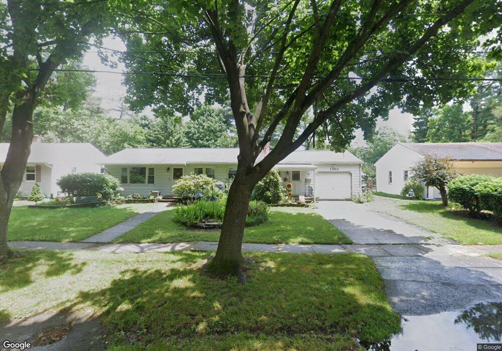
1350 Calhoun St Kalamazoo, MI 49006
Westwood NeighborhoodEstimated Value: $229,824 - $249,000
3
Beds
1
Bath
1,122
Sq Ft
$214/Sq Ft
Est. Value
About This Home
This home is located at 1350 Calhoun St, Kalamazoo, MI 49006 and is currently estimated at $239,956, approximately $213 per square foot. 1350 Calhoun St is a home located in Kalamazoo County with nearby schools including King-Westwood Elementary School, Indian Prairie Elementary School, and Hillside Middle School.
Ownership History
Date
Name
Owned For
Owner Type
Purchase Details
Closed on
Sep 10, 2018
Sold by
Todd Carol A
Bought by
Todd Carol Ann and Carol Ann Todd Trust
Current Estimated Value
Home Financials for this Owner
Home Financials are based on the most recent Mortgage that was taken out on this home.
Original Mortgage
$97,000
Interest Rate
4.5%
Mortgage Type
Credit Line Revolving
Purchase Details
Closed on
Jul 29, 2015
Sold by
Todd Carol Ann and Todd Ann H
Bought by
Todd Carol Ann and Carol Ann Todd Trust #1
Create a Home Valuation Report for This Property
The Home Valuation Report is an in-depth analysis detailing your home's value as well as a comparison with similar homes in the area
Home Values in the Area
Average Home Value in this Area
Purchase History
| Date | Buyer | Sale Price | Title Company |
|---|---|---|---|
| Todd Carol Ann | -- | Chicago Title Of Michigan In | |
| Todd Carol A | -- | Chicago Title Of Michigan In | |
| Todd Carol Ann | -- | Attorney |
Source: Public Records
Mortgage History
| Date | Status | Borrower | Loan Amount |
|---|---|---|---|
| Closed | Todd Carol A | $97,000 |
Source: Public Records
Tax History Compared to Growth
Tax History
| Year | Tax Paid | Tax Assessment Tax Assessment Total Assessment is a certain percentage of the fair market value that is determined by local assessors to be the total taxable value of land and additions on the property. | Land | Improvement |
|---|---|---|---|---|
| 2025 | $2,939 | $113,600 | $0 | $0 |
| 2024 | $568 | $111,900 | $0 | $0 |
| 2023 | $541 | $100,400 | $0 | $0 |
| 2022 | $2,670 | $83,500 | $0 | $0 |
| 2021 | $2,504 | $74,900 | $0 | $0 |
| 2020 | $2,464 | $69,600 | $0 | $0 |
| 2019 | $2,356 | $60,800 | $0 | $0 |
| 2018 | $2,297 | $53,500 | $0 | $0 |
| 2017 | $0 | $53,500 | $0 | $0 |
| 2016 | -- | $52,400 | $0 | $0 |
| 2015 | -- | $48,100 | $0 | $0 |
| 2014 | -- | $42,400 | $0 | $0 |
Source: Public Records
Map
Nearby Homes
- 1113 Nichols Rd
- 3304 Cranbrook Ave
- 3421 Huron Ave
- 1702 Harvey Ave
- 3317 Cranbrook Ave
- V/L Ferndale Ave
- 2444 Hillsdale Ave
- 1361 Cherokee St
- 902 Coolidge Ave
- 3503 Devonshire Ave
- 4146 Corvo
- 2306 Kenwood St
- 325 N Kendall Ave
- 617 Pinehurst Blvd
- 2205 Tamrack St
- 806 Northampton Rd
- 141 Selkirk Ct Unit 103
- 150 Carberry Hill Ct Unit C
- 154 Carberry Hill Ct Unit 43
- 426 Pinehurst Blvd
- 1344 Calhoun St
- 1356 Calhoun St
- 1349 Bretton Dr
- 1355 Bretton Dr
- 1343 Bretton Dr
- 1336 Calhoun St
- 1349 Calhoun St
- 1335 Bretton Dr
- 1343 Calhoun St
- 1355 Calhoun St
- 1330 Calhoun St
- 1335 Calhoun St
- 1329 Bretton Dr
- 1329 Calhoun St
- 1350 Bretton Dr
- 1356 Bretton Dr
- 1344 Bretton Dr
- 1322 Calhoun St
- 1321 Bretton Dr
- 1336 Bretton Dr