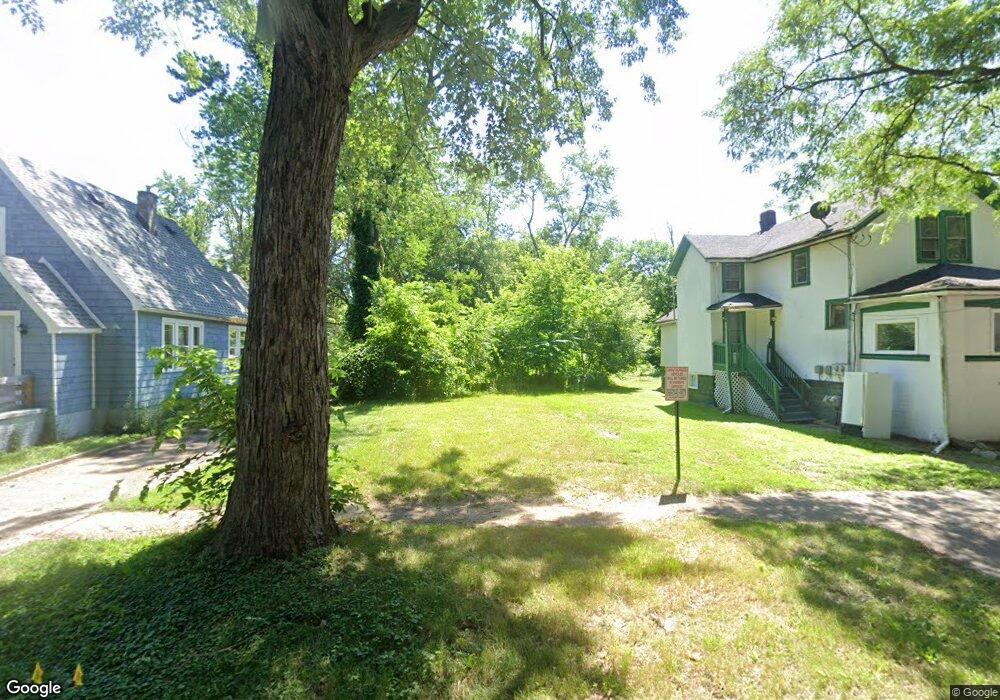
1350 N Rose St Kalamazoo, MI 49007
Northside NeighborhoodEstimated Value: $15,000 - $37,000
--
Bed
--
Bath
--
Sq Ft
5,663
Sq Ft Lot
About This Home
This home is located at 1350 N Rose St, Kalamazoo, MI 49007 and is currently estimated at $26,000. 1350 N Rose St is a home located in Kalamazoo County with nearby schools including Parkwood-Upjohn Elementary School, Hillside Middle School, and Kalamazoo Central High School.
Ownership History
Date
Name
Owned For
Owner Type
Purchase Details
Closed on
Oct 11, 2010
Sold by
Kalamazoo County Treasurer
Bought by
Kalamazoo County Land Bank Authority
Current Estimated Value
Purchase Details
Closed on
Jul 2, 2007
Sold by
Blake Lawrence and Blake Lisa
Bought by
Schuyler Heidi
Purchase Details
Closed on
Oct 16, 2006
Sold by
Blake Lawrence P and Blake Lisa A
Bought by
City Of Kalamazoo
Purchase Details
Closed on
Oct 16, 2004
Sold by
Blake Lawrence P and Blake Lisa A
Bought by
City Of Kalamazoo
Purchase Details
Closed on
Sep 23, 2002
Sold by
Department Of Natural Resources
Bought by
Blake Lawrence P and Blake Lisa A
Create a Home Valuation Report for This Property
The Home Valuation Report is an in-depth analysis detailing your home's value as well as a comparison with similar homes in the area
Home Values in the Area
Average Home Value in this Area
Purchase History
| Date | Buyer | Sale Price | Title Company |
|---|---|---|---|
| Kalamazoo County Land Bank Authority | $1,980 | None Available | |
| Schuyler Heidi | -- | None Available | |
| City Of Kalamazoo | -- | None Available | |
| City Of Kalamazoo | -- | -- | |
| Blake Lawrence P | $2,500 | -- |
Source: Public Records
Tax History Compared to Growth
Tax History
| Year | Tax Paid | Tax Assessment Tax Assessment Total Assessment is a certain percentage of the fair market value that is determined by local assessors to be the total taxable value of land and additions on the property. | Land | Improvement |
|---|---|---|---|---|
| 2025 | -- | $0 | $0 | $0 |
| 2024 | -- | $0 | $0 | $0 |
| 2023 | -- | $0 | $0 | $0 |
| 2022 | $0 | $0 | $0 | $0 |
| 2021 | $0 | $0 | $0 | $0 |
| 2020 | $0 | $0 | $0 | $0 |
| 2019 | $0 | $0 | $0 | $0 |
| 2018 | $0 | $0 | $0 | $0 |
| 2017 | $0 | $0 | $0 | $0 |
| 2016 | -- | $0 | $0 | $0 |
| 2015 | -- | $0 | $0 | $0 |
| 2014 | -- | $0 | $0 | $0 |
Source: Public Records
Map
Nearby Homes
- 1339 Krom St
- 134 E Paterson St
- 1630 Union St
- 1625 N Church St
- 1208 Princeton Ave
- 1018 N Rose St
- 1623 Krom St
- 1710 N Park St
- 1503 N Westnedge Ave
- 1616 N Edwards St
- 1620 N Edwards St
- 1002 Princeton Ave
- 912 Princeton Ave
- 209 E North St
- 721 Elizabeth St
- 824 W Paterson St
- 436 W Ransom St
- 608 W Ransom St
- 718 Harrison St
- 708 Harrison St
- 1354 N Rose St
- 117 W Clay St
- 1358 N Rose St
- 1342 N Rose St
- 1338 N Rose St
- 1334 N Rose St
- 1351 N Rose St
- 1349 N Burdick St
- 1345 N Rose St
- 1353 N Burdick St
- 1355 N Rose St
- 1347 N Burdick St
- 1402 N Rose St
- 1341 N Rose St
- 1357 N Burdick St
- 1343 N Burdick St
- 1357 N Rose St
- 1406 N Rose St
- 1337 N Rose St
- 1330 N Rose St