13505 Beckwith Dr NE Lowell, MI 49331
Estimated Value: $386,377 - $448,000
3
Beds
2
Baths
1,352
Sq Ft
$302/Sq Ft
Est. Value
About This Home
This home is located at 13505 Beckwith Dr NE, Lowell, MI 49331 and is currently estimated at $408,126, approximately $301 per square foot. 13505 Beckwith Dr NE is a home located in Kent County with nearby schools including Murray Lake Elementary School, Lowell Middle School, and Lowell Senior High School.
Ownership History
Date
Name
Owned For
Owner Type
Purchase Details
Closed on
Aug 19, 2014
Sold by
Tamminga Marianne
Bought by
Hawk Dustin
Current Estimated Value
Purchase Details
Closed on
Apr 12, 2000
Sold by
Bristol Bonnie Sue
Bought by
Hawk Dustin and Hawk Dustin
Purchase Details
Closed on
Jan 14, 1999
Sold by
Bristol Bonnie Sue
Bought by
Bristol Bonnie and Hawk Dustin
Purchase Details
Closed on
Aug 23, 1997
Sold by
Bristol James
Bought by
Bristol Sue Bonnie and Hawk Dustin
Purchase Details
Closed on
Jan 17, 1995
Bought by
Bristol James and Hawk Dustin
Create a Home Valuation Report for This Property
The Home Valuation Report is an in-depth analysis detailing your home's value as well as a comparison with similar homes in the area
Home Values in the Area
Average Home Value in this Area
Purchase History
| Date | Buyer | Sale Price | Title Company |
|---|---|---|---|
| Hawk Dustin | -- | None Available | |
| Hawk Dustin | $129,900 | -- | |
| Bristol Bonnie | -- | -- | |
| Bristol Sue Bonnie | $35,000 | -- | |
| Bristol James | $25,700 | -- |
Source: Public Records
Tax History Compared to Growth
Tax History
| Year | Tax Paid | Tax Assessment Tax Assessment Total Assessment is a certain percentage of the fair market value that is determined by local assessors to be the total taxable value of land and additions on the property. | Land | Improvement |
|---|---|---|---|---|
| 2025 | $1,982 | $161,400 | $0 | $0 |
| 2024 | $1,982 | $147,000 | $0 | $0 |
| 2023 | $1,896 | $129,600 | $0 | $0 |
| 2022 | $1,805 | $113,500 | $0 | $0 |
| 2021 | $2,476 | $105,300 | $0 | $0 |
| 2020 | $1,744 | $102,300 | $0 | $0 |
| 2019 | $2,362 | $99,700 | $0 | $0 |
| 2018 | $2,315 | $89,600 | $0 | $0 |
| 2017 | $2,253 | $85,100 | $0 | $0 |
| 2016 | $2,169 | $79,000 | $0 | $0 |
| 2015 | -- | $79,000 | $0 | $0 |
| 2013 | -- | $73,200 | $0 | $0 |
Source: Public Records
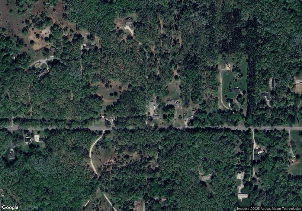
Map
Nearby Homes
- 13227 Beckwith Dr NE
- 13164 Beckwith Dr NE
- 14111 Thompson Dr NE
- 13461 Burroughs St NE
- VL Burroughs St NE
- 12845 Triple Oak Unit 14
- 699 Lincoln Lake Ave NE
- 12873 Triple Oak Dr NE Unit 13
- 12036 Alden Ct NE
- 12020 Alden Ct NE
- 992 N Washington Rd SE
- Cedarwood Plan at Flat River Estates
- Sycamore Plan at Flat River Estates
- Elmwood Plan at Flat River Estates
- Chestnut Plan at Flat River Estates
- Redwood Plan at Flat River Estates
- Whitby Plan at Flat River Estates
- Bay Harbor Plan at Flat River Estates
- Pentwater Plan at Flat River Estates
- Maplewood Plan at Flat River Estates
- 13537 Beckwith Dr NE
- 13547 Beckwith Dr NE
- 13443 Beckwith Dr NE
- 13684 Beckwith Dr NE
- 13515 Beckwith Dr NE
- 13645 Beckwith Dr NE
- 13405 Beckwith Dr NE
- 13475 Beckwith Dr NE
- 13676 Beckwith Dr NE
- 13634 Beckwith Dr NE
- 13675 Beckwith Dr NE
- 13315 Beckwith Dr NE
- 13644 Beckwith Dr NE
- 13500 Beckwith Dr NE
- 13100 Beckwith Dr NE Unit Parcel D
- 13100 Beckwith Dr NE Unit Parcel C
- 13100 Beckwith Dr NE Unit Parcel B
- 13100 Beckwith Dr NE Unit Parcel A
- 13850 Beckwith Dr NE
- 14100 Beckwith Dr NE