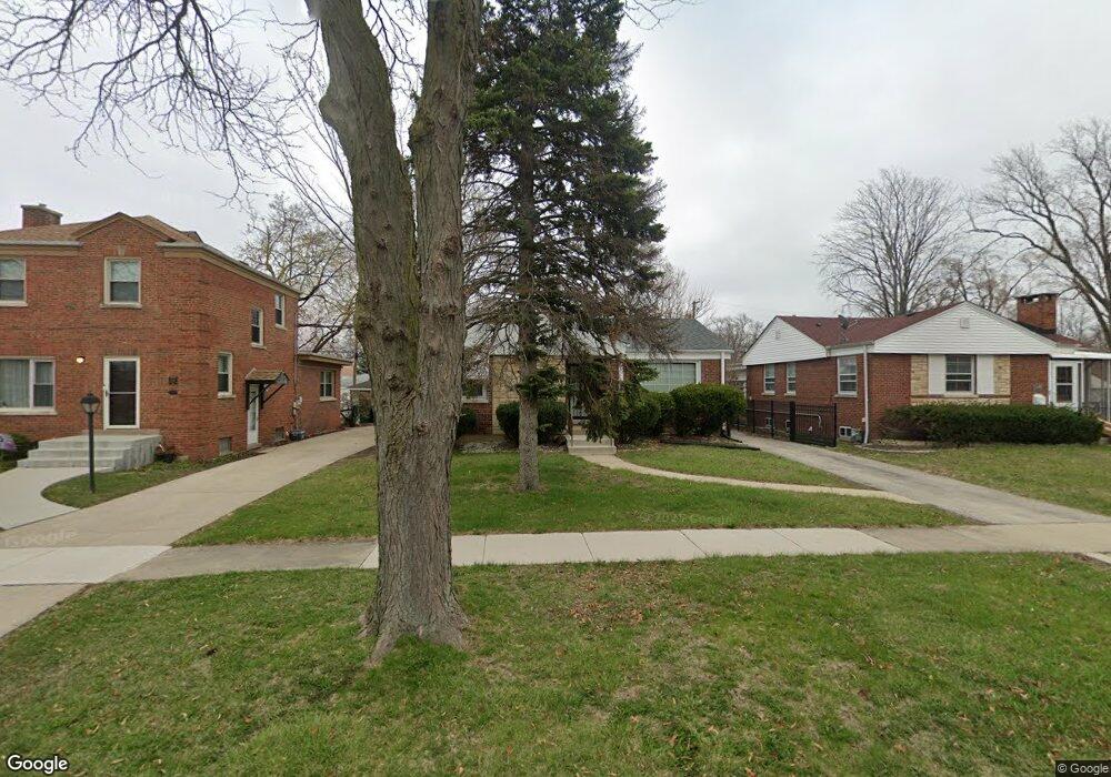
1351 Manchester Ave Westchester, IL 60154
Estimated Value: $313,000 - $357,000
2
Beds
1
Bath
1,056
Sq Ft
$315/Sq Ft
Est. Value
About This Home
This home is located at 1351 Manchester Ave, Westchester, IL 60154 and is currently estimated at $333,082, approximately $315 per square foot. 1351 Manchester Ave is a home located in Cook County with nearby schools including Westchester Primary School, Westchester Intermediate School, and Westchester Middle School.
Ownership History
Date
Name
Owned For
Owner Type
Purchase Details
Closed on
Mar 26, 2011
Sold by
Lodico Frank F and Lodico Darlene A
Bought by
Nuccio Christopher F
Current Estimated Value
Home Financials for this Owner
Home Financials are based on the most recent Mortgage that was taken out on this home.
Original Mortgage
$160,590
Interest Rate
4.5%
Mortgage Type
FHA
Purchase Details
Closed on
Nov 24, 2009
Sold by
Lodico Frank F and Lodico Darlene A
Bought by
Lodico Frank F and Lodico Revoca A R
Create a Home Valuation Report for This Property
The Home Valuation Report is an in-depth analysis detailing your home's value as well as a comparison with similar homes in the area
Home Values in the Area
Average Home Value in this Area
Purchase History
| Date | Buyer | Sale Price | Title Company |
|---|---|---|---|
| Nuccio Christopher F | $165,000 | Fidelity National Title | |
| Lodico Frank F | -- | None Available |
Source: Public Records
Mortgage History
| Date | Status | Borrower | Loan Amount |
|---|---|---|---|
| Previous Owner | Nuccio Christopher F | $160,590 |
Source: Public Records
Tax History Compared to Growth
Tax History
| Year | Tax Paid | Tax Assessment Tax Assessment Total Assessment is a certain percentage of the fair market value that is determined by local assessors to be the total taxable value of land and additions on the property. | Land | Improvement |
|---|---|---|---|---|
| 2024 | $5,077 | $19,735 | $4,655 | $15,080 |
| 2023 | $4,700 | $22,660 | $4,655 | $18,005 |
| 2022 | $4,700 | $18,827 | $3,990 | $14,837 |
| 2021 | $4,576 | $18,827 | $3,990 | $14,837 |
| 2020 | $4,885 | $20,034 | $3,990 | $16,044 |
| 2019 | $4,743 | $20,217 | $3,657 | $16,560 |
| 2018 | $4,679 | $20,217 | $3,657 | $16,560 |
| 2017 | $4,605 | $20,217 | $3,657 | $16,560 |
| 2016 | $4,261 | $17,109 | $3,325 | $13,784 |
| 2015 | $4,170 | $17,109 | $3,325 | $13,784 |
| 2014 | $4,812 | $17,109 | $3,325 | $13,784 |
| 2013 | $4,921 | $19,575 | $3,325 | $16,250 |
Source: Public Records
Map
Nearby Homes
- 1433 Bristol Ave
- 1500 Bristol Ave
- 10072 Drury Ln
- 1601 Bristol Ave
- 1623 Manchester Ave
- 1119 Newcastle Ave
- 923 Manchester Ave
- 920 Suffolk Ave
- 1840 Gardner Rd
- 814 Norfolk Ave
- 805 Norfolk Ave
- 1900 Manchester Ave
- 1907 Suffolk Ave
- 2320 S 22nd Ave
- 750 Bristol Ave
- 1247 S Mannheim Rd Unit 3
- 2237 S 22nd Ave
- 1932 Newcastle Ave
- 2003 S 24th Ave
- 626 Manchester Ave
- 1359 Manchester Ave
- 1347 Manchester Ave
- 9840 Dickens St
- 9847 Drury Ln
- 9851 Drury Ln
- 9841 Drury Ln
- 9857 Drury Ln
- 1401 Manchester Ave
- 9837 Drury Ln
- 1352 Manchester Ave
- 1346 Manchester Ave
- 1400 Bristol Ave
- 9831 Drury Ln
- 1407 Manchester Ave
- 9903 Drury Ln
- 1340 Manchester Ave
- 1406 Bristol Ave
- 1400 Manchester Ave
- 1413 Manchester Ave
- 9909 Drury Ln