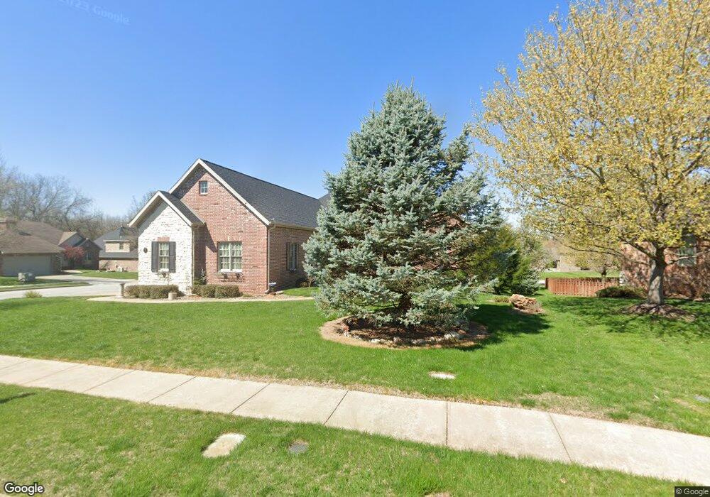
1351 N Lennox Ct Springfield, MO 65802
Southeast Springfield NeighborhoodEstimated Value: $439,000 - $824,000
4
Beds
5
Baths
1,891
Sq Ft
$320/Sq Ft
Est. Value
About This Home
This home is located at 1351 N Lennox Ct, Springfield, MO 65802 and is currently estimated at $604,308, approximately $319 per square foot. 1351 N Lennox Ct is a home located in Greene County with nearby schools including Hickory Hills K-8 School, Glendale High School, and Grace Classical Academy.
Ownership History
Date
Name
Owned For
Owner Type
Purchase Details
Closed on
Jun 17, 2005
Sold by
B & R Llc
Bought by
Kreutner Mark H and Kreutner Catherine A
Current Estimated Value
Home Financials for this Owner
Home Financials are based on the most recent Mortgage that was taken out on this home.
Original Mortgage
$53,985
Interest Rate
5.33%
Mortgage Type
Stand Alone Second
Create a Home Valuation Report for This Property
The Home Valuation Report is an in-depth analysis detailing your home's value as well as a comparison with similar homes in the area
Home Values in the Area
Average Home Value in this Area
Purchase History
| Date | Buyer | Sale Price | Title Company |
|---|---|---|---|
| Kreutner Mark H | -- | None Available |
Source: Public Records
Mortgage History
| Date | Status | Borrower | Loan Amount |
|---|---|---|---|
| Closed | Kreutner Mark H | $53,985 | |
| Open | Kreutner Mark H | $287,920 |
Source: Public Records
Tax History Compared to Growth
Tax History
| Year | Tax Paid | Tax Assessment Tax Assessment Total Assessment is a certain percentage of the fair market value that is determined by local assessors to be the total taxable value of land and additions on the property. | Land | Improvement |
|---|---|---|---|---|
| 2025 | $3,632 | $70,820 | $12,410 | $58,410 |
| 2024 | $3,632 | $64,300 | $8,550 | $55,750 |
| 2023 | $3,649 | $64,300 | $8,550 | $55,750 |
| 2022 | $3,317 | $56,850 | $8,550 | $48,300 |
| 2021 | $3,141 | $56,850 | $8,550 | $48,300 |
| 2020 | $3,043 | $52,420 | $8,550 | $43,870 |
| 2019 | $2,962 | $52,420 | $8,550 | $43,870 |
| 2018 | $2,851 | $50,410 | $7,600 | $42,810 |
| 2017 | $2,824 | $46,910 | $7,600 | $39,310 |
| 2016 | $2,627 | $46,910 | $7,600 | $39,310 |
| 2015 | $2,605 | $46,910 | $7,600 | $39,310 |
| 2014 | $2,552 | $45,600 | $7,600 | $38,000 |
Source: Public Records
Map
Nearby Homes
- 1401 N Chapel Dr
- 4345 E Cromwell St
- 1428 N Cromwell Ct
- 4403 E Cromwell St
- 4402 E Kanata Ct
- Lancaster I Plan at The Lakes at Wild Horse
- Lake Edge II Plan at The Lakes at Wild Horse
- Silverado Plan at The Lakes at Wild Horse
- Emerson Plan at The Lakes at Wild Horse
- Palomino Plan at The Lakes at Wild Horse
- Lake Edge Plan at The Lakes at Wild Horse
- Meadowood Plan at The Lakes at Wild Horse
- Stone Ridge Plan at The Lakes at Wild Horse
- Lancaster II Plan at The Lakes at Wild Horse
- 4567 E Pearson Meadow Dr
- 4156 E Division St
- 1525 Marlowe Ave
- Lot 2 N Marlowe Ave
- 4487 E Larkwood St
- 4566 E Kentbrook Dr
- 1363 N Lennox Ct
- 4344 E Ambrose Dr
- 4315 E Ambrose Dr
- 1327 N Lennox Ct
- 1375 N Lennox Ct
- 4332 E Ambrose Dr
- 1365 N Chapel Dr
- 4320 E Ambrose Dr
- 1352 N Lennox Ct
- 1326 N Lennox Ct
- 1364 N Lennox Ct
- 4354 E Sherwood St
- 1384 N Chapel Dr
- 1318 N Bristol Ave
- 4366 E Sherwood St
- 1377 N Chapel Dr
- 4308 E Ambrose Dr
- 4392 E Ambrose Dr
- 1338 N Bristol Ave
- 1389 N Chapel Dr