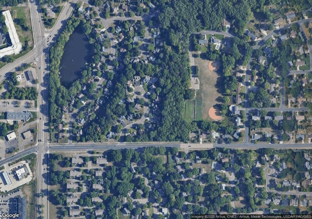
13517 James Ave S Burnsville, MN 55337
Estimated Value: $464,000 - $545,000
4
Beds
4
Baths
2,132
Sq Ft
$233/Sq Ft
Est. Value
About This Home
This home is located at 13517 James Ave S, Burnsville, MN 55337 and is currently estimated at $495,827, approximately $232 per square foot. 13517 James Ave S is a home located in Dakota County with nearby schools including Vista View Elementary School, Joseph Nicollet Middle School, and Burnsville High School.
Ownership History
Date
Name
Owned For
Owner Type
Purchase Details
Closed on
Apr 1, 2020
Sold by
Ahmed All A and Dahir Hamdi
Bought by
Ahmed All A
Current Estimated Value
Purchase Details
Closed on
Nov 16, 2017
Sold by
Ahmed Ali A
Bought by
Ahmed Ali A and Dahir Hamdi
Purchase Details
Closed on
Sep 30, 2016
Sold by
Jordahl Bradley A
Bought by
Ahmed Ali A
Home Financials for this Owner
Home Financials are based on the most recent Mortgage that was taken out on this home.
Original Mortgage
$272,000
Interest Rate
4.03%
Mortgage Type
New Conventional
Purchase Details
Closed on
Dec 14, 2001
Sold by
Grunewald Eric T and Grunewald Heidi E H
Bought by
Jordahl Bradley A and Roth Bristow Jane A
Create a Home Valuation Report for This Property
The Home Valuation Report is an in-depth analysis detailing your home's value as well as a comparison with similar homes in the area
Home Values in the Area
Average Home Value in this Area
Purchase History
| Date | Buyer | Sale Price | Title Company |
|---|---|---|---|
| Ahmed All A | -- | None Available | |
| Ahmed Ali A | -- | None Available | |
| Ahmed Ali A | $340,000 | First American Title Co | |
| Jordahl Bradley A | $280,000 | -- |
Source: Public Records
Mortgage History
| Date | Status | Borrower | Loan Amount |
|---|---|---|---|
| Previous Owner | Ahmed Ali A | $272,000 |
Source: Public Records
Tax History Compared to Growth
Tax History
| Year | Tax Paid | Tax Assessment Tax Assessment Total Assessment is a certain percentage of the fair market value that is determined by local assessors to be the total taxable value of land and additions on the property. | Land | Improvement |
|---|---|---|---|---|
| 2024 | $5,306 | $474,100 | $108,000 | $366,100 |
| 2023 | $5,306 | $485,000 | $108,100 | $376,900 |
| 2022 | $4,410 | $451,500 | $107,800 | $343,700 |
| 2021 | $4,242 | $409,700 | $93,800 | $315,900 |
| 2020 | $4,408 | $375,800 | $89,300 | $286,500 |
| 2019 | $4,197 | $376,000 | $85,100 | $290,900 |
| 2018 | $4,212 | $342,700 | $81,000 | $261,700 |
| 2017 | $3,908 | $334,300 | $77,100 | $257,200 |
| 2016 | $4,623 | $306,700 | $73,500 | $233,200 |
| 2015 | $4,317 | $300,769 | $69,155 | $231,614 |
| 2014 | -- | $276,680 | $67,249 | $209,431 |
| 2013 | -- | $248,122 | $60,751 | $187,371 |
Source: Public Records
Map
Nearby Homes
- 1200 W 136th St
- 1009 Knob Hill Rd
- 13261 Humboldt Ave S
- 13303 Morgan Ave S
- 1701 W 138th St
- 13236 Fremont Ave S
- 13212 Fremont Ave S
- 1725 W 140th St
- 1905 W 140th St
- 521 Timberland Dr
- 2104 W 140th St
- 13631 Oakwood Curve
- 2704 W 135th St
- 304 Valley High Rd
- 13817 Thomas Ave S
- 2408 Friendship Ln
- 400 Unique Dr
- 13100 Thomas Ave S
- 13208 Upton Ave S
- 2700 Boulder Dr
- 13513 James Ave S
- 13525 James Ave S
- 13512 James Ave S
- 13509 James Ave S
- 13516 James Ave S
- 13529 James Ave S
- 13505 James Ave S
- 13508 James Ave S
- 13533 James Ave S
- 13504 James Ave S
- 13520 James Ave S
- 13501 James Ave S
- 13500 James Ave S
- 1416 W 136th St
- 1600 Knox Cir
- 1601 Knox Cir
- 13524 James Ave S
- 13505 Knox Dr
- 13509 Knox Dr
- 13600 Irving Ave S
