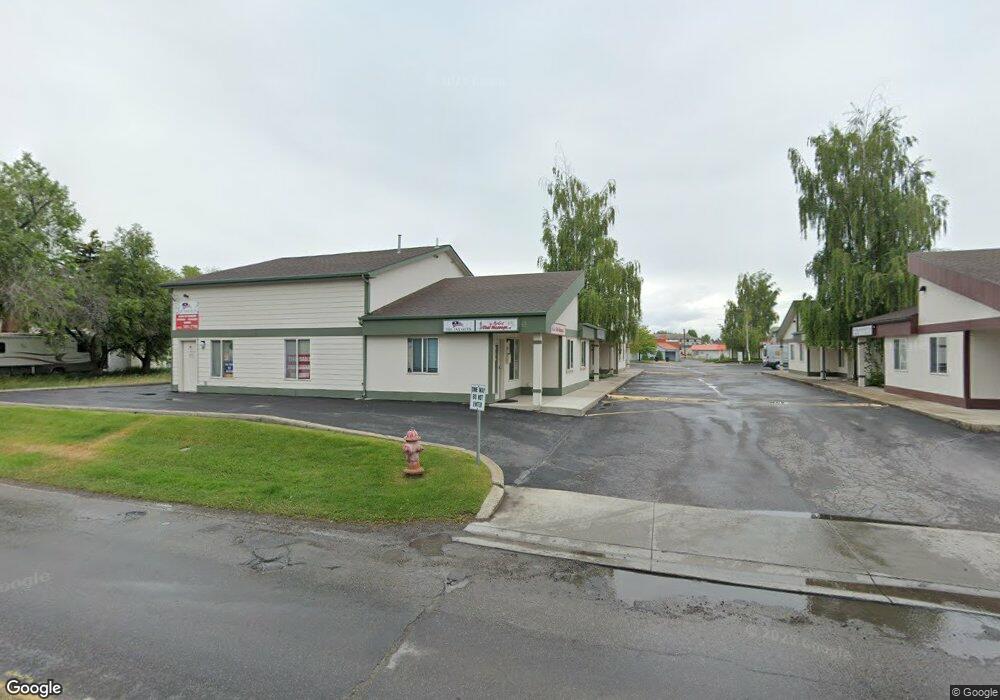
1352 Airport Rd Kalispell, MT 59901
Estimated Value: $162,805
--
Bed
--
Bath
950
Sq Ft
$171/Sq Ft
Est. Value
About This Home
This home is located at 1352 Airport Rd, Kalispell, MT 59901 and is currently estimated at $162,805, approximately $171 per square foot. 1352 Airport Rd is a home located in Flathead County with nearby schools including Elrod School, Flathead High School, and St. Matthew's School.
Ownership History
Date
Name
Owned For
Owner Type
Purchase Details
Closed on
Apr 30, 2018
Sold by
Dsg Llc
Bought by
Je Engineering Inc
Current Estimated Value
Home Financials for this Owner
Home Financials are based on the most recent Mortgage that was taken out on this home.
Original Mortgage
$90,000
Outstanding Balance
$28,021
Interest Rate
4.44%
Mortgage Type
Commercial
Estimated Equity
$134,784
Purchase Details
Closed on
Sep 1, 2010
Sold by
Syth Noreen K
Bought by
Larsen Donald R and Larsen Isabel H
Create a Home Valuation Report for This Property
The Home Valuation Report is an in-depth analysis detailing your home's value as well as a comparison with similar homes in the area
Home Values in the Area
Average Home Value in this Area
Purchase History
| Date | Buyer | Sale Price | Title Company |
|---|---|---|---|
| Je Engineering Inc | -- | Alliance Title Co | |
| Larsen Donald R | -- | Insured Titles |
Source: Public Records
Mortgage History
| Date | Status | Borrower | Loan Amount |
|---|---|---|---|
| Open | Je Engineering Inc | $90,000 |
Source: Public Records
Tax History Compared to Growth
Tax History
| Year | Tax Paid | Tax Assessment Tax Assessment Total Assessment is a certain percentage of the fair market value that is determined by local assessors to be the total taxable value of land and additions on the property. | Land | Improvement |
|---|---|---|---|---|
| 2025 | $2,003 | $226,200 | $0 | $0 |
| 2024 | $1,598 | $146,600 | $0 | $0 |
| 2023 | $2,017 | $146,600 | $0 | $0 |
| 2022 | $1,523 | $108,300 | $0 | $0 |
| 2021 | $1,632 | $108,300 | $0 | $0 |
| 2020 | $1,967 | $102,800 | $0 | $0 |
| 2019 | $1,967 | $102,800 | $0 | $0 |
| 2018 | $1,688 | $81,100 | $0 | $0 |
| 2017 | $1,689 | $81,100 | $0 | $0 |
| 2016 | $2,137 | $121,069 | $0 | $0 |
| 2015 | $2,137 | $121,069 | $0 | $0 |
| 2014 | $1,662 | $74,848 | $0 | $0 |
Source: Public Records
Map
Nearby Homes
- 205 12th St W
- 209 12th St W
- 1312 2nd Ave E
- 1028 2nd Ave W
- 1225 2nd Ave E
- 330 12th St E
- 1517 5th Ave W
- 1418 6th Ave W
- 815 3rd Ave E
- 1313 7th Ave W
- 1308 7th Ave W
- 614 1st Ave W
- 901 7th Ave W
- 1483 & 1485 Western Dr
- 1971 Bluestone Dr
- 529 1st Ave E
- 1221 7th Ave E
- 723 5th Ave E Unit 212C
- 811 8th Ave W
- 486 1st Ave E
- 1354 Airport Rd
- 1358 Airport Rd
- 1360 Airport Rd
- 1370 Airport Rd
- 1366 Airport Rd
- 1364 Airport Rd Unit 6
- 1340 Airport Rd
- 1303 1st Ave W
- 1342 Airport Rd
- 1310 Airport Rd
- 1310 Airport Rd
- 1310 Airport Rd
- 1310 Airport Rd
- 1310 Airport Rd
- 1310 Airport Rd
- 1310 Airport Rd
- 1310 Airport Rd
- 1310 Airport Rd
- 1310 Airport Rd
- 1310 Airport Rd