13527 N Mayfair Ln Spokane, WA 99208
Estimated Value: $579,583 - $708,000
3
Beds
2
Baths
2,900
Sq Ft
$223/Sq Ft
Est. Value
About This Home
This home is located at 13527 N Mayfair Ln, Spokane, WA 99208 and is currently estimated at $647,146, approximately $223 per square foot. 13527 N Mayfair Ln is a home located in Spokane County with nearby schools including Brentwood Elementary School, Northwood Middle School, and Mead Senior High School.
Ownership History
Date
Name
Owned For
Owner Type
Purchase Details
Closed on
May 31, 2012
Sold by
Manning Candace M
Bought by
Manning Candace M and Manning Candi
Current Estimated Value
Purchase Details
Closed on
Apr 30, 2009
Sold by
Condron Homes Llc
Bought by
Manning James F and Manning Candi
Purchase Details
Closed on
Oct 4, 2006
Sold by
Wandermere Heights Llc
Bought by
Condron Homes Llc
Create a Home Valuation Report for This Property
The Home Valuation Report is an in-depth analysis detailing your home's value as well as a comparison with similar homes in the area
Home Values in the Area
Average Home Value in this Area
Purchase History
| Date | Buyer | Sale Price | Title Company |
|---|---|---|---|
| Manning Candace M | -- | Spokane County Title Co | |
| Manning James F | $285,000 | Pacific Northwest Title | |
| Condron Homes Llc | -- | Pacific Nw Title |
Source: Public Records
Tax History Compared to Growth
Tax History
| Year | Tax Paid | Tax Assessment Tax Assessment Total Assessment is a certain percentage of the fair market value that is determined by local assessors to be the total taxable value of land and additions on the property. | Land | Improvement |
|---|---|---|---|---|
| 2025 | $5,324 | $518,900 | $121,500 | $397,400 |
| 2024 | $5,324 | $521,600 | $117,000 | $404,600 |
| 2023 | $1,182 | $521,600 | $117,000 | $404,600 |
| 2022 | $1,477 | $494,600 | $90,000 | $404,600 |
| 2021 | $1,598 | $351,700 | $54,000 | $297,700 |
| 2020 | $1,686 | $321,900 | $42,300 | $279,600 |
| 2019 | $3,587 | $300,600 | $42,300 | $258,300 |
| 2018 | $736 | $278,500 | $42,300 | $236,200 |
| 2017 | $759 | $265,600 | $47,000 | $218,600 |
| 2016 | $703 | $238,800 | $47,000 | $191,800 |
| 2015 | $724 | $237,300 | $50,000 | $187,300 |
| 2014 | -- | $228,500 | $48,000 | $180,500 |
| 2013 | -- | $0 | $0 | $0 |
Source: Public Records
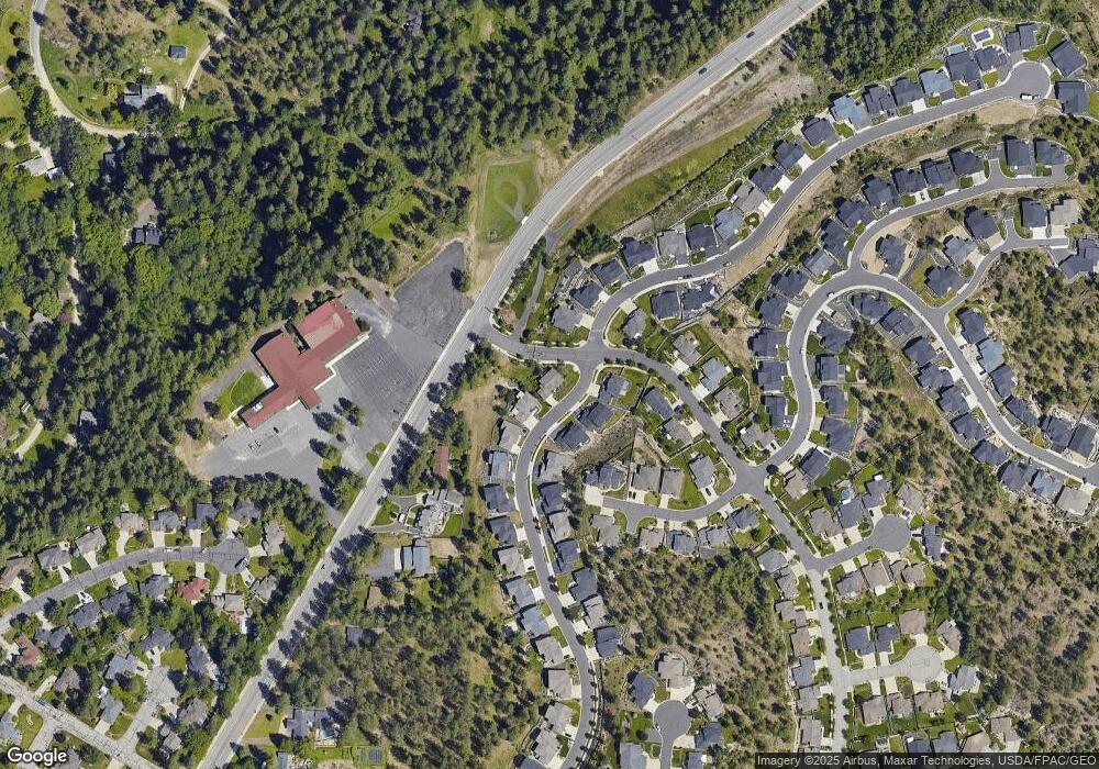
Map
Nearby Homes
- 13431 N Whitehouse Ct
- 13733 N Mayfair Ln
- 13419 N Whitehouse Ct
- 13614 N Minihdoka Trail
- 14 E Lindsey Ln
- 30 E Center Ln
- 44 E Center Ln
- 58 E Center Ln
- 339 W Wilson Ave
- 608 W Hazard Rd
- 307 W Arrow Ln
- 825 E Lakeview Ln
- 905 E Lakeview Ln
- 12704 N Ruby Rd
- 12729 N Dakota St
- 1155 E Quartz Ln
- 14623 N Edencrest Dr
- 1213 E Fireside Ln
- 12515 N Fairwood Dr Unit 6
- 1220 E Fireside Ln
- 13523 N Mayfair Ln
- 13517 N Mayfair Ln
- 13603 N Mayfair Ln
- 13520 N Mayfair Ln
- 13524 N Mayfair Ln
- 13528 N Mayfair Ln
- 13514 N Mayfair Ln
- 13607 N Mayfair Ln
- 13513 N Mayfair Ln
- 13604 N Mayfair Ln
- 17 E Sapphire Ln
- 13515 N Addison St
- 17705 N Addison St
- 13506 N Mayfair Ln
- 13520 N Mill Rd
- 13611 N Mayfair Ln
- 13507 N Mayfair Ln
- 21 E Sapphire Ln
- 13708 N Mayfair Ln
- 13511 N Addison St