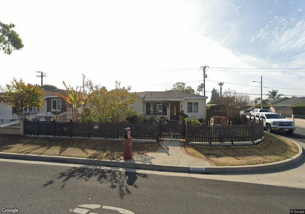
13532 Virginia Ave Whittier, CA 90605
South Whittier NeighborhoodEstimated Value: $736,000 - $757,000
3
Beds
1
Bath
1,304
Sq Ft
$574/Sq Ft
Est. Value
About This Home
This home is located at 13532 Virginia Ave, Whittier, CA 90605 and is currently estimated at $749,013, approximately $574 per square foot. 13532 Virginia Ave is a home located in Los Angeles County with nearby schools including California High School and St. Gregory The Great.
Ownership History
Date
Name
Owned For
Owner Type
Purchase Details
Closed on
May 28, 2020
Sold by
Alonzo Arturo and Alonzo Cristina
Bought by
Alonzo Arturo and Alonzo Cristina
Current Estimated Value
Purchase Details
Closed on
Jan 5, 2001
Sold by
Perez Fernando J
Bought by
Alonzo Arturo and Alonzo Cristina
Home Financials for this Owner
Home Financials are based on the most recent Mortgage that was taken out on this home.
Original Mortgage
$138,000
Outstanding Balance
$49,401
Interest Rate
7.13%
Estimated Equity
$699,612
Create a Home Valuation Report for This Property
The Home Valuation Report is an in-depth analysis detailing your home's value as well as a comparison with similar homes in the area
Home Values in the Area
Average Home Value in this Area
Purchase History
| Date | Buyer | Sale Price | Title Company |
|---|---|---|---|
| Alonzo Arturo | -- | None Available | |
| Alonzo Arturo | $172,500 | Commonwealth Land Title Co |
Source: Public Records
Mortgage History
| Date | Status | Borrower | Loan Amount |
|---|---|---|---|
| Open | Alonzo Arturo | $138,000 | |
| Closed | Alonzo Arturo | $25,800 |
Source: Public Records
Tax History Compared to Growth
Tax History
| Year | Tax Paid | Tax Assessment Tax Assessment Total Assessment is a certain percentage of the fair market value that is determined by local assessors to be the total taxable value of land and additions on the property. | Land | Improvement |
|---|---|---|---|---|
| 2025 | $3,523 | $259,906 | $203,110 | $56,796 |
| 2024 | $3,523 | $254,811 | $199,128 | $55,683 |
| 2023 | $3,420 | $249,816 | $195,224 | $54,592 |
| 2022 | $3,439 | $244,919 | $191,397 | $53,522 |
| 2021 | $3,367 | $240,118 | $187,645 | $52,473 |
| 2019 | $3,309 | $232,997 | $182,080 | $50,917 |
| 2018 | $3,131 | $228,429 | $178,510 | $49,919 |
| 2016 | $2,972 | $219,561 | $171,579 | $47,982 |
| 2015 | $2,899 | $216,264 | $169,002 | $47,262 |
| 2014 | $2,875 | $212,029 | $165,692 | $46,337 |
Source: Public Records
Map
Nearby Homes
- 11116 Leland Ave
- 11016 Inez St
- 11329 Telechron Ave
- 11426 Newgate Ave
- 10849 Inez St
- 13538 Lukay St
- 13305 Meyer Rd Unit B
- 13481 Meyer Rd
- 10745 Victoria Ave Unit 4
- 10745 Victoria Ave Unit 6
- 10745 Victoria Ave
- 11102 Eagle Ln
- 11118 Bunker Ln
- 13752 Bentongrove Dr
- 11518 Fidel Ave
- 13272 Beaty Ave
- 11828 Louis Ave
- 11531 Sunnybrook Ln
- 11428 Painter Ave
- 13857 Leffingwell Rd
- 2178 Fendale St
- 13542 Virginia Ave
- 11212 Mitony Ave
- 13524 Virginia Ave
- 13544 Virginia Ave
- 11218 Mitony Ave
- 11213 Mitony Ave
- 13533 Virginia Ave
- 13539 Virginia Ave
- 13550 Virginia Ave
- 13529 Virginia Ave
- 13518 Virginia Ave
- 13545 Virginia Ave
- 11219 Mitony Ave
- 13523 Virginia Ave
- 11213 Leland Ave
- 11224 Mitony Ave
- 13556 Virginia Ave
- 13549 Virginia Ave
- 13517 Virginia Ave