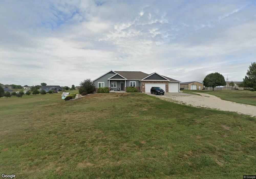
13547 Jennice Ct Wamego, KS 66547
Estimated Value: $402,000 - $588,248
5
Beds
4
Baths
1,927
Sq Ft
$276/Sq Ft
Est. Value
About This Home
This home is located at 13547 Jennice Ct, Wamego, KS 66547 and is currently estimated at $532,312, approximately $276 per square foot. 13547 Jennice Ct is a home with nearby schools including Rock Creek Junior/Senior High School.
Ownership History
Date
Name
Owned For
Owner Type
Purchase Details
Closed on
Sep 29, 2014
Sold by
Braley Construction Inc
Bought by
Bunker Derek and Bunker Katie
Current Estimated Value
Home Financials for this Owner
Home Financials are based on the most recent Mortgage that was taken out on this home.
Original Mortgage
$328,270
Outstanding Balance
$253,048
Interest Rate
4.25%
Mortgage Type
Adjustable Rate Mortgage/ARM
Estimated Equity
$279,264
Purchase Details
Closed on
Nov 20, 2013
Sold by
Reid Tony J and Reid Cathy L
Bought by
Braley Construction Inc
Create a Home Valuation Report for This Property
The Home Valuation Report is an in-depth analysis detailing your home's value as well as a comparison with similar homes in the area
Home Values in the Area
Average Home Value in this Area
Purchase History
| Date | Buyer | Sale Price | Title Company |
|---|---|---|---|
| Bunker Derek | -- | None Available | |
| Braley Construction Inc | -- | None Available |
Source: Public Records
Mortgage History
| Date | Status | Borrower | Loan Amount |
|---|---|---|---|
| Open | Bunker Derek | $328,270 |
Source: Public Records
Tax History Compared to Growth
Tax History
| Year | Tax Paid | Tax Assessment Tax Assessment Total Assessment is a certain percentage of the fair market value that is determined by local assessors to be the total taxable value of land and additions on the property. | Land | Improvement |
|---|---|---|---|---|
| 2025 | $5,823 | $64,527 | $8,064 | $56,463 |
| 2024 | $58 | $61,617 | $7,719 | $53,898 |
| 2023 | $5,780 | $58,958 | $7,719 | $51,239 |
| 2022 | $4,380 | $53,057 | $7,496 | $45,561 |
| 2021 | $4,380 | $47,058 | $7,286 | $39,772 |
| 2020 | $4,380 | $44,543 | $7,309 | $37,234 |
| 2019 | $5,406 | $44,663 | $6,711 | $37,952 |
| 2018 | $5,488 | $44,148 | $6,596 | $37,552 |
| 2017 | $4,911 | $43,677 | $6,225 | $37,452 |
| 2016 | $4,703 | $42,883 | $5,316 | $37,567 |
| 2015 | -- | $40,912 | $4,209 | $36,703 |
| 2014 | -- | $3,912 | $3,912 | $0 |
Source: Public Records
Map
Nearby Homes
- 13000 Anthony Dr
- 4225 Rockenham Rd
- 13318 Woodland Dr
- 13880 Berry Ln
- 4075 Rockenham Cir
- 14226 Prairie W
- 14362 Prairie W
- 14344 Prairie W
- 13495 Wildridge Dr
- 00000 Prairie Trail (Lot #3)
- 00000 Prairie Trail
- 14205 Prairie Trail
- 14416 Wildwood Cir
- 00000 Wildwood Cir
- 14391 Prairie Trail
- 14380 Prairie Trail
- 14371 Prairie Fire Ln
- 14409 Wildwood Cir
- 14434 Wildwood Cir
- 14470 Wildwood Cir
- 13505 Jennice Ct
- 13581 Jennice Ct
- 13524 Jennice Ct
- 13500 Anthony Cir
- 13542 Anthony Cir
- 13568 Jennice Ct
- 13580 Anthony Cir
- 13480 Jennice Ct
- 4460 Reid Dr
- 4510 Reid Dr
- 13535 Anthony Cir
- 13446 Jennice Ct
- 13430 Anthony Dr
- 13559 Anthony Cir
- 13573 Anthony Cir
- 13430 Anthony Dr
- 13434 Jennice Ct
- 4579 Reid Dr
- 13235 Anthony Dr