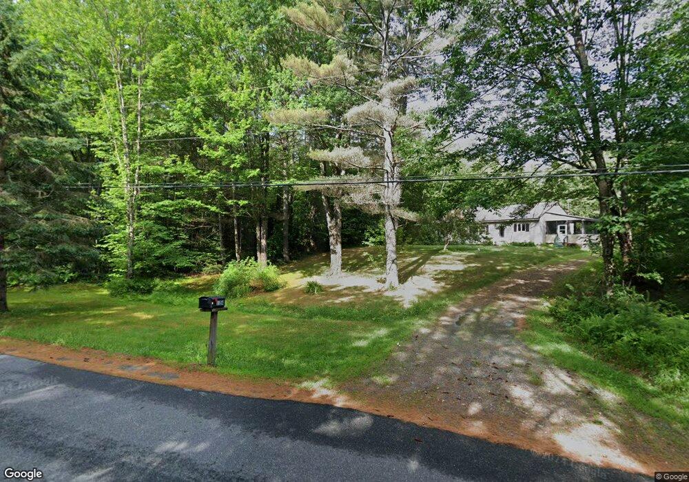
1355 Brushwood Rd Pike, NH 03780
Estimated Value: $271,000 - $387,000
3
Beds
1
Bath
1,387
Sq Ft
$256/Sq Ft
Est. Value
About This Home
This home is located at 1355 Brushwood Rd, Pike, NH 03780 and is currently estimated at $354,565, approximately $255 per square foot. 1355 Brushwood Rd is a home with nearby schools including Woodsville Elementary School, Haverhill Cooperative Middle School, and Woodsville High School.
Ownership History
Date
Name
Owned For
Owner Type
Purchase Details
Closed on
Jul 3, 2018
Sold by
Jones Andrew G
Bought by
Stasko Justin P and Brannan Jeremy
Current Estimated Value
Home Financials for this Owner
Home Financials are based on the most recent Mortgage that was taken out on this home.
Original Mortgage
$139,600
Outstanding Balance
$121,252
Interest Rate
4.6%
Mortgage Type
New Conventional
Estimated Equity
$233,313
Create a Home Valuation Report for This Property
The Home Valuation Report is an in-depth analysis detailing your home's value as well as a comparison with similar homes in the area
Home Values in the Area
Average Home Value in this Area
Purchase History
| Date | Buyer | Sale Price | Title Company |
|---|---|---|---|
| Stasko Justin P | $174,533 | -- |
Source: Public Records
Mortgage History
| Date | Status | Borrower | Loan Amount |
|---|---|---|---|
| Open | Stasko Justin P | $139,600 | |
| Closed | Stasko Justin P | $139,600 |
Source: Public Records
Tax History Compared to Growth
Tax History
| Year | Tax Paid | Tax Assessment Tax Assessment Total Assessment is a certain percentage of the fair market value that is determined by local assessors to be the total taxable value of land and additions on the property. | Land | Improvement |
|---|---|---|---|---|
| 2024 | $4,954 | $254,840 | $45,540 | $209,300 |
| 2023 | $4,197 | $145,128 | $27,528 | $117,600 |
| 2021 | $3,641 | $146,295 | $28,695 | $117,600 |
| 2020 | $3,769 | $119,581 | $25,781 | $93,800 |
| 2019 | $3,202 | $119,822 | $26,022 | $93,800 |
| 2018 | $3,750 | $119,795 | $25,995 | $93,800 |
| 2017 | $3,696 | $119,061 | $25,261 | $93,800 |
| 2016 | $3,545 | $119,125 | $25,325 | $93,800 |
| 2015 | $3,454 | $117,193 | $23,893 | $93,300 |
| 2014 | $3,222 | $117,193 | $23,893 | $93,300 |
| 2013 | $3,075 | $117,177 | $25,677 | $91,500 |
Source: Public Records
Map
Nearby Homes
- 1354 Brushwood Rd
- 1842 County Rd
- 00 Brushwood Rd
- 00 Brushwood Rd Unit 104
- 00 Brushwood Rd
- 00 Jeffers Hill Rd Unit 13
- 823 Country Land Dr
- 2528 Lime Kiln Rd
- 175 French Pond Rd
- 19 Lime Kiln Rd
- 617 Benton Rd
- 620 Country Land Dr
- 400 Lily Pond Rd
- Lot 1 Wildflower Way
- Lot 3 Wildflower Way
- 148 Brushwood Rd
- 510 Lily Pond Rd
- 538 Lily Pond Rd
- 2877 Mount Moosilauke Hwy
- 100 Oliverian Heights Rd
- 1231 Brushwood Rd
- 795 Jeffers Hill Rd
- 225 Partridge Ln
- 220 Partridge Ln
- 200 Partridge Ln
- 243 Partridge Ln
- 252 Partridge Ln
- 1353 Brushwood Rd
- 212 Dickinson Rd
- 736 Jeffers Hill Rd
- 147 Partridge Ln
- 140 Partridge Ln
- 581 Jeffers Hill Rd
- 1211 Brushwood Rd
- 551 Jeffers Hill Rd
- 1272 Brushwood Rd
- 280 Partridge Ln
- 1121 Brushwood Rd
- 174 Brown Hill Rd
- 176 Brown Hill Rd