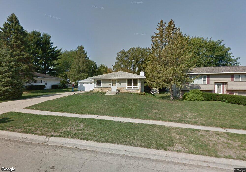
1355 Empire Ct Freeport, IL 61032
Estimated Value: $139,000 - $195,000
3
Beds
2
Baths
1,680
Sq Ft
$101/Sq Ft
Est. Value
About This Home
This home is located at 1355 Empire Ct, Freeport, IL 61032 and is currently estimated at $170,366, approximately $101 per square foot. 1355 Empire Ct is a home located in Stephenson County with nearby schools including Freeport High School and Immanuel Lutheran School.
Create a Home Valuation Report for This Property
The Home Valuation Report is an in-depth analysis detailing your home's value as well as a comparison with similar homes in the area
Home Values in the Area
Average Home Value in this Area
Tax History Compared to Growth
Tax History
| Year | Tax Paid | Tax Assessment Tax Assessment Total Assessment is a certain percentage of the fair market value that is determined by local assessors to be the total taxable value of land and additions on the property. | Land | Improvement |
|---|---|---|---|---|
| 2024 | $4,175 | $48,104 | $3,984 | $44,120 |
| 2023 | $3,791 | $39,802 | $4,113 | $35,689 |
| 2022 | $4,196 | $39,802 | $4,113 | $35,689 |
| 2021 | $3,938 | $34,694 | $3,985 | $30,709 |
| 2020 | $3,722 | $34,606 | $3,985 | $30,621 |
| 2019 | $3,221 | $30,430 | $3,985 | $26,445 |
| 2018 | $3,126 | $29,660 | $3,985 | $25,675 |
| 2017 | $3,055 | $29,120 | $3,985 | $25,135 |
| 2016 | $3,061 | $29,438 | $3,985 | $25,453 |
| 2015 | $3,251 | $31,249 | $3,989 | $27,260 |
| 2013 | $3,224 | $32,956 | $4,207 | $28,749 |
Source: Public Records
Map
Nearby Homes
- 1155 Lacresta Dr
- 1435 Bolkinwood Dr
- 1473 S Harlem Ave
- 1422 S Burchard Ave
- 1460 Bolkinwood Dr
- 0 Field Cir
- 1670 Willard Dr
- 1225 W Lincoln Blvd
- 840 W Homer St
- 758 W Moseley St
- 1137 W Donald Dr
- 1043 W Lincoln Blvd
- 1286 W Stephenson St
- 1286 W Stephenson St Unit 1314 W Stephenson St
- 1801 S Yellow Creek Ct Unit A6
- 2 N Harlem Ave
- 727 W South St
- 602 S West Ave
- 763-765 W Pleasant St
- 45 N Sunset Ave