1356 Bug Hill Rd Ashfield, MA 01330
Ashfield NeighborhoodEstimated Value: $323,000 - $326,037
4
Beds
1
Bath
1,881
Sq Ft
$173/Sq Ft
Est. Value
About This Home
This home is located at 1356 Bug Hill Rd, Ashfield, MA 01330 and is currently estimated at $324,519, approximately $172 per square foot. 1356 Bug Hill Rd is a home with nearby schools including Mohawk Trail Regional High School.
Ownership History
Date
Name
Owned For
Owner Type
Purchase Details
Closed on
Jul 31, 2018
Sold by
Maclean Kathleen A
Bought by
Int Maclean
Current Estimated Value
Purchase Details
Closed on
Dec 16, 1998
Sold by
Stalknecht Robert E
Bought by
Maclean Kathleen A
Home Financials for this Owner
Home Financials are based on the most recent Mortgage that was taken out on this home.
Original Mortgage
$100,000
Interest Rate
6.85%
Mortgage Type
Commercial
Create a Home Valuation Report for This Property
The Home Valuation Report is an in-depth analysis detailing your home's value as well as a comparison with similar homes in the area
Home Values in the Area
Average Home Value in this Area
Purchase History
| Date | Buyer | Sale Price | Title Company |
|---|---|---|---|
| Int Maclean | -- | -- | |
| Maclean Kathleen A | $25,000 | -- |
Source: Public Records
Mortgage History
| Date | Status | Borrower | Loan Amount |
|---|---|---|---|
| Previous Owner | Maclean Kathleen A | $100,000 |
Source: Public Records
Tax History
| Year | Tax Paid | Tax Assessment Tax Assessment Total Assessment is a certain percentage of the fair market value that is determined by local assessors to be the total taxable value of land and additions on the property. | Land | Improvement |
|---|---|---|---|---|
| 2025 | $3,181 | $236,332 | $75,332 | $161,000 |
| 2024 | $3,587 | $245,500 | $89,000 | $156,500 |
| 2023 | $3,081 | $174,932 | $58,132 | $116,800 |
| 2022 | $2,894 | $166,532 | $55,232 | $111,300 |
| 2021 | $2,754 | $166,407 | $55,107 | $111,300 |
| 2020 | $2,772 | $166,407 | $55,107 | $111,300 |
| 2019 | $2,726 | $158,880 | $51,580 | $107,300 |
| 2018 | $2,638 | $153,525 | $51,625 | $101,900 |
| 2017 | $2,477 | $152,733 | $50,833 | $101,900 |
| 2016 | $2,385 | $145,053 | $50,553 | $94,500 |
| 2015 | $2,316 | $145,053 | $50,553 | $94,500 |
| 2014 | $2,704 | $167,353 | $47,753 | $119,600 |
Source: Public Records
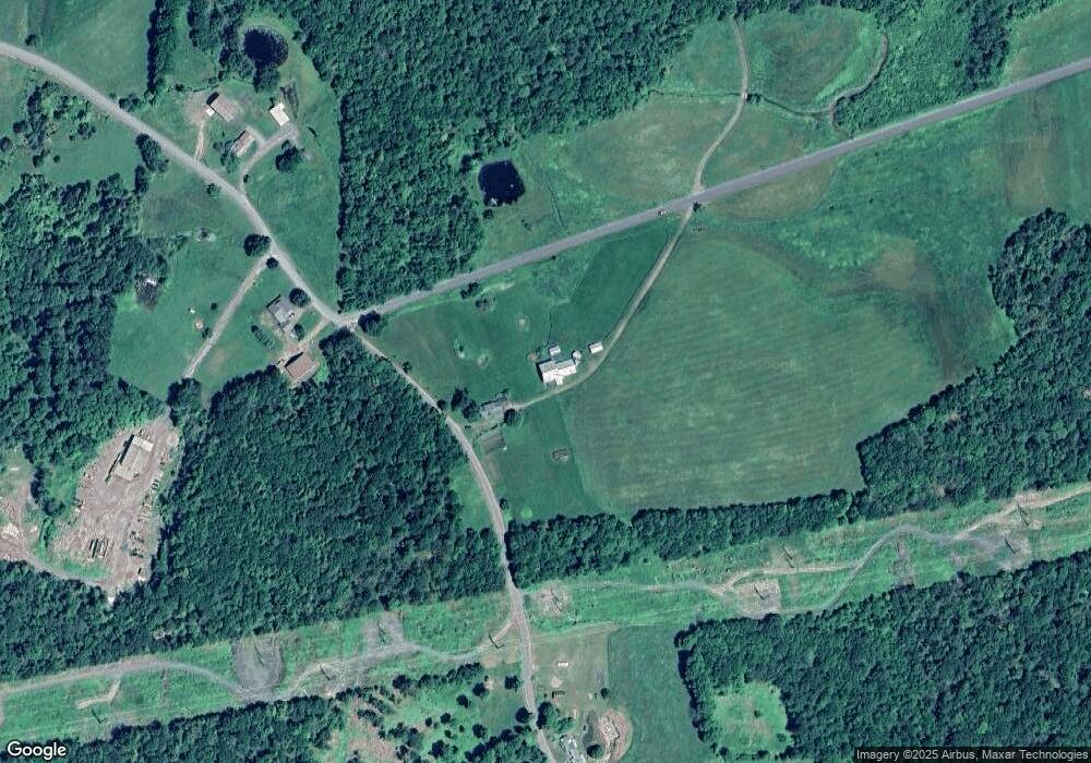
Map
Nearby Homes
- 220 Hawley Rd
- 40 Suburban Dr
- 0 John Ford Rd Unit 73403156
- 527 Main St
- 333 Ranney Corner Rd
- 311 Cummington Rd
- 296 E Main St
- 0 Spruce Corner Rd Unit 73244975
- 240 Beldingville Rd
- 0 Sears Rd Unit 73373850
- 0 N Bear River Rd Unit 73485981
- 0 Upper St
- 39 Hawley St
- 0, Lot 7 East Rd
- Lot 3.2 East Rd
- 7 Hog Hollow Rd
- 10 Maple St
- 146 Berkshire Trail W
- 678 W Main St
- 49 East Rd
- 1411 Bug Hill Rd
- 1294 Bug Hill Rd
- 1266 Bug Hill Rd
- 15 Ford Rd
- 51+52 Ford Rd
- 1170 Bug Hill Rd
- 1157 Bug Hill Rd
- 1127 Bug Hill Rd
- 1592 Bug Hill Rd
- 653 Bear Swamp Rd
- 1069 Bug Hill Rd
- 966 Watson Spruce Corner Rd
- 642 Bear Swamp Rd
- lot Willis Howes Rd
- 1057 Bug Hill Rd
- 1686 Bug Hill Rd
- 1144 Watson Spruce Corner Rd
- 1296 Watson Spruce Corner Rd
- 1012 Bug Hill Rd
- 1239 Watson Spruce Corner Rd
Your Personal Tour Guide
Ask me questions while you tour the home.