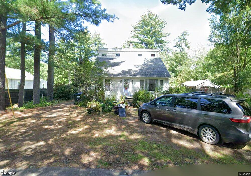
1357 Burts Pit Rd Florence, MA 01062
Florence NeighborhoodEstimated Value: $326,000 - $372,518
3
Beds
1
Bath
1,260
Sq Ft
$272/Sq Ft
Est. Value
About This Home
This home is located at 1357 Burts Pit Rd, Florence, MA 01062 and is currently estimated at $342,380, approximately $271 per square foot. 1357 Burts Pit Rd is a home located in Hampshire County with nearby schools including Northampton High School.
Ownership History
Date
Name
Owned For
Owner Type
Purchase Details
Closed on
Nov 6, 1998
Sold by
Boyle Judy A
Bought by
Garratt-Lawton J
Current Estimated Value
Home Financials for this Owner
Home Financials are based on the most recent Mortgage that was taken out on this home.
Original Mortgage
$97,500
Interest Rate
6.64%
Mortgage Type
Purchase Money Mortgage
Create a Home Valuation Report for This Property
The Home Valuation Report is an in-depth analysis detailing your home's value as well as a comparison with similar homes in the area
Home Values in the Area
Average Home Value in this Area
Purchase History
| Date | Buyer | Sale Price | Title Company |
|---|---|---|---|
| Garratt-Lawton J | $99,900 | -- |
Source: Public Records
Mortgage History
| Date | Status | Borrower | Loan Amount |
|---|---|---|---|
| Open | Garratt-Lawton J | $139,000 | |
| Closed | Garratt-Lawton J | $50,000 | |
| Closed | Garratt-Lawton J | $97,500 |
Source: Public Records
Tax History Compared to Growth
Tax History
| Year | Tax Paid | Tax Assessment Tax Assessment Total Assessment is a certain percentage of the fair market value that is determined by local assessors to be the total taxable value of land and additions on the property. | Land | Improvement |
|---|---|---|---|---|
| 2025 | $4,130 | $296,500 | $137,700 | $158,800 |
| 2024 | $4,414 | $290,600 | $131,500 | $159,100 |
| 2023 | $4,160 | $262,600 | $119,300 | $143,300 |
| 2022 | $4,152 | $232,100 | $112,000 | $120,100 |
| 2021 | $3,799 | $218,700 | $107,000 | $111,700 |
| 2020 | $3,674 | $218,700 | $107,000 | $111,700 |
| 2019 | $3,151 | $181,400 | $92,000 | $89,400 |
| 2018 | $3,110 | $182,500 | $92,000 | $90,500 |
| 2017 | $3,046 | $182,500 | $92,000 | $90,500 |
| 2016 | $2,949 | $182,500 | $92,000 | $90,500 |
| 2015 | $2,880 | $182,300 | $92,000 | $90,300 |
| 2014 | $2,806 | $182,300 | $92,000 | $90,300 |
Source: Public Records
Map
Nearby Homes
- 0 W Farms Rd
- 832 Westhampton Rd
- 39 Matthew Dr
- 404 Sylvester Rd
- 20-11 Sylvester Rd
- 815 Burts Pit Rd
- 723 Florence Rd
- 635 Florence Rd
- 1260 Westhampton Rd
- 98 Park Hill Rd
- 200 Easthampton Rd
- 36 Torrey St
- 262 Loudville Rd
- 225 Nonotuck St Unit C
- 37 Landy Ave
- 12 Nicols Way Unit 12
- 6 Nicols Way Unit 6
- 18 Nicols Way Unit 18
- 321 Riverside Dr
- 67 Park St Unit A
- 1357 Burts Pit Rd
- 1363 Burts Pit Rd
- 881 Ryan Rd
- 1345 Burts Pit Rd
- 897 Ryan Rd
- 1373 Burts Pit Rd
- 1339 Burts Pit Rd
- 884 Ryan Rd
- 1331 Burts Pit Rd
- 1383 Burts Pit Rd
- 876 Ryan Rd
- 8 Pine Valley Rd
- 892 Ryan Rd
- 900 Ryan Rd
- 909 Ryan Rd
- 1 Pine Valley Rd
- 906 Ryan Rd
- 1387 Burts Pit Rd
- 3 Pine Valley Rd
- 918 Ryan Rd