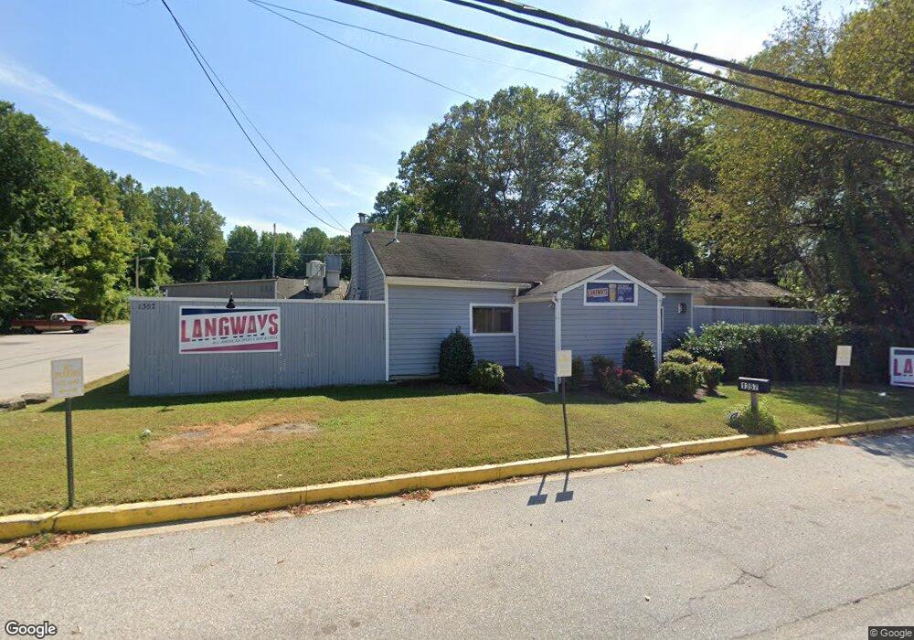
1357 Defense Hwy Gambrills, MD 21054
Davidsonville NeighborhoodEstimated Value: $1,300,785
--
Bed
--
Bath
2,904
Sq Ft
$448/Sq Ft
Est. Value
About This Home
This home is located at 1357 Defense Hwy, Gambrills, MD 21054 and is currently estimated at $1,300,785, approximately $447 per square foot. 1357 Defense Hwy is a home located in Anne Arundel County with nearby schools including Crofton Woods Elementary School, Crofton Middle School, and Crofton High School.
Ownership History
Date
Name
Owned For
Owner Type
Purchase Details
Closed on
Jun 10, 2015
Sold by
Maydag William M and Maydag Marianne V
Bought by
Wea Investments Llc
Current Estimated Value
Home Financials for this Owner
Home Financials are based on the most recent Mortgage that was taken out on this home.
Original Mortgage
$660,000
Outstanding Balance
$512,824
Interest Rate
3.84%
Estimated Equity
$787,961
Purchase Details
Closed on
Aug 3, 1984
Bought by
Maydag William O and Maydag Marianne
Home Financials for this Owner
Home Financials are based on the most recent Mortgage that was taken out on this home.
Original Mortgage
$113,500
Interest Rate
14.68%
Create a Home Valuation Report for This Property
The Home Valuation Report is an in-depth analysis detailing your home's value as well as a comparison with similar homes in the area
Home Values in the Area
Average Home Value in this Area
Purchase History
| Date | Buyer | Sale Price | Title Company |
|---|---|---|---|
| Wea Investments Llc | $824,000 | Attorney | |
| Maydag William O | $150,000 | -- |
Source: Public Records
Mortgage History
| Date | Status | Borrower | Loan Amount |
|---|---|---|---|
| Open | Wea Investments Llc | $660,000 | |
| Previous Owner | Maydag William O | $113,500 |
Source: Public Records
Tax History Compared to Growth
Tax History
| Year | Tax Paid | Tax Assessment Tax Assessment Total Assessment is a certain percentage of the fair market value that is determined by local assessors to be the total taxable value of land and additions on the property. | Land | Improvement |
|---|---|---|---|---|
| 2025 | $11,074 | $859,333 | -- | -- |
| 2024 | $11,074 | $844,367 | $0 | $0 |
| 2023 | $10,807 | $829,400 | $592,300 | $237,100 |
| 2022 | $10,254 | $821,433 | $0 | $0 |
| 2021 | $20,341 | $813,467 | $0 | $0 |
| 2020 | $9,870 | $805,500 | $592,300 | $213,200 |
| 2019 | $9,572 | $776,267 | $0 | $0 |
| 2018 | $7,575 | $747,033 | $0 | $0 |
| 2017 | $8,109 | $717,800 | $0 | $0 |
| 2016 | -- | $689,733 | $0 | $0 |
| 2015 | -- | $661,667 | $0 | $0 |
| 2014 | -- | $633,600 | $0 | $0 |
Source: Public Records
Map
Nearby Homes
- 1782 Shaftsbury Ave
- 1722 Tedbury St
- 2057 Liza Way
- 1704 Tarleton Way
- 1822 Foxdale Ct
- 1816 Whites Ferry Place Unit 6
- 1764 Sharwood Place
- 3154 Gosheff Ln
- 2103 Higher Ct
- 1804 Aberdeen Cir
- 1745 Leisure Way
- 1723 Fillmore Ct
- 1746 Floral Ct
- 2241 Aberdeen Dr
- 2033 Huntwood Dr
- 1557 Farlow Ave
- 1677 Hart Ct
- 1503 Carlyle Dr
- 1729 Dana St Unit 6
- 1682 Albermarle Dr
- 1341 Defense Hwy
- 1430 Thornbury Ct
- 1432 Thornbury Ct
- 1434 Thornbury Ct
- 1340 Defense Hwy
- 1436 Thornbury Ct
- 1431 Thornbury Ct
- 1438 Thornbury Ct
- 2015 Dalewood Ct
- 2013 Dalewood Ct
- 2011 Dalewood Ct
- 1433 Thornbury Ct
- 1440 Thornbury Ct
- 2009 Dalewood Ct
- 1435 Thornbury Ct
- 1370 Defense Hwy
- 2354 Davidsonville Rd
- 1442 Thornbury Ct
- 1439 Thornbury Ct
- 1350 Defense Hwy