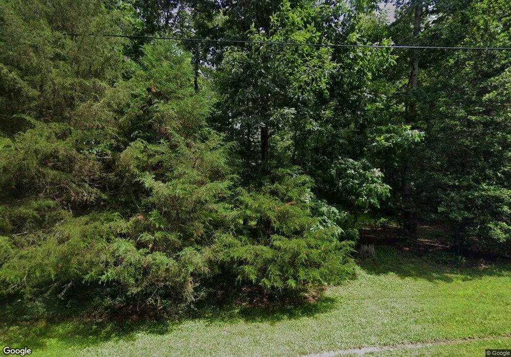
13570A Havensbrook Dr Waldorf, MD 20601
Estimated Value: $516,000 - $630,000
--
Bed
3
Baths
2,744
Sq Ft
$209/Sq Ft
Est. Value
About This Home
This home is located at 13570A Havensbrook Dr, Waldorf, MD 20601 and is currently estimated at $572,787, approximately $208 per square foot. 13570A Havensbrook Dr is a home located in Charles County with nearby schools including Malcolm Elementary School, John Hanson Middle School, and Thomas Stone High School.
Ownership History
Date
Name
Owned For
Owner Type
Purchase Details
Closed on
Sep 24, 2002
Sold by
Greene Michael W and Greene Debra S
Bought by
Baldwin Jeffrey M and Baldwin Christy Cline
Current Estimated Value
Purchase Details
Closed on
Jul 12, 1988
Sold by
Stone William F and Stone Christine M
Bought by
Greene Michael W and Greene Debra S
Home Financials for this Owner
Home Financials are based on the most recent Mortgage that was taken out on this home.
Original Mortgage
$142,300
Interest Rate
10.38%
Create a Home Valuation Report for This Property
The Home Valuation Report is an in-depth analysis detailing your home's value as well as a comparison with similar homes in the area
Home Values in the Area
Average Home Value in this Area
Purchase History
| Date | Buyer | Sale Price | Title Company |
|---|---|---|---|
| Baldwin Jeffrey M | $245,000 | -- | |
| Greene Michael W | $177,900 | -- |
Source: Public Records
Mortgage History
| Date | Status | Borrower | Loan Amount |
|---|---|---|---|
| Previous Owner | Greene Michael W | $142,300 | |
| Closed | Baldwin Jeffrey M | -- |
Source: Public Records
Tax History Compared to Growth
Tax History
| Year | Tax Paid | Tax Assessment Tax Assessment Total Assessment is a certain percentage of the fair market value that is determined by local assessors to be the total taxable value of land and additions on the property. | Land | Improvement |
|---|---|---|---|---|
| 2025 | $12,726 | $456,200 | -- | -- |
| 2024 | $5,541 | $410,700 | $0 | $0 |
| 2023 | $5,219 | $365,200 | $137,200 | $228,000 |
| 2022 | $5,013 | $355,767 | $0 | $0 |
| 2021 | $4,723 | $346,333 | $0 | $0 |
| 2020 | $4,723 | $336,900 | $137,200 | $199,700 |
| 2019 | $4,709 | $336,900 | $137,200 | $199,700 |
| 2018 | $4,666 | $336,900 | $137,200 | $199,700 |
| 2017 | $4,707 | $340,600 | $0 | $0 |
| 2016 | -- | $327,000 | $0 | $0 |
| 2015 | $4,004 | $313,400 | $0 | $0 |
| 2014 | $4,004 | $299,800 | $0 | $0 |
Source: Public Records
Map
Nearby Homes
- 13605 Sugar Mill Ct
- 2540 Green Pine Ct
- 2525 Green Pine Ct
- 13455 Plantation Pines Ln
- 3448 Williamsburg Dr
- 2730 Sprague Dr
- 3307 Peach Tree Rd
- 13246 Hawks Branch Ct
- 0 Poplar Hill Rd Unit MDCH2047938
- 2419 Pinefield Rd
- 6320 Josephine Rd
- 4302 Sandwich Ct
- 13220 Breezy Ct
- 2769 Pinewood Dr
- 5914 Michael Rd
- LOT 3 Baynes Manor Place
- 2914 Sandwich Dr
- 5026 Nicholas Rd
- 0 Pinewood Dr
- 4208 Sandwich Cir
- 13570 Havensbrook Dr
- 13550 Havensbrook Dr
- 13590 Havensbrook Dr
- PARCEL 110 Havensbrook Dr
- 13530 Havensbrook Dr
- 13510 Havensbrook Dr
- 3000 Forest Cross Rd
- 3005 Forest Cross Rd
- 13555I Havensbrook Dr
- 13535 Havensbrook Dr
- 13665 Ballantrae Ln
- 13490 Havensbrook Dr
- 13515 Havensbrook Dr
- 13660 Ballantrae Ln
- 13495 Havensbrook Dr
- 13675 Ballantrae Ln
- 13460 Havensbrook Dr
- 3030 Forest Cross Rd
- 3035 Forest Cross Rd
- 13508 Holly Spring Dr
