13573 Pugh Rd Grand Rapids, MN 55744
Estimated Value: $290,000 - $345,711
--
Bed
--
Bath
952
Sq Ft
$330/Sq Ft
Est. Value
About This Home
This home is located at 13573 Pugh Rd, Grand Rapids, MN 55744 and is currently estimated at $313,904, approximately $329 per square foot. 13573 Pugh Rd is a home with nearby schools including Forest Lake Elementary School, Robert J. Elkington Middle School, and Grand Rapids Senior High School.
Ownership History
Date
Name
Owned For
Owner Type
Purchase Details
Closed on
Apr 12, 2007
Sold by
Pugh Jeanette and Ugh Jeanette F
Bought by
Pugh Donald S and Pugh Carolyn M
Current Estimated Value
Create a Home Valuation Report for This Property
The Home Valuation Report is an in-depth analysis detailing your home's value as well as a comparison with similar homes in the area
Home Values in the Area
Average Home Value in this Area
Purchase History
| Date | Buyer | Sale Price | Title Company |
|---|---|---|---|
| Pugh Donald S | -- | None Available |
Source: Public Records
Tax History Compared to Growth
Tax History
| Year | Tax Paid | Tax Assessment Tax Assessment Total Assessment is a certain percentage of the fair market value that is determined by local assessors to be the total taxable value of land and additions on the property. | Land | Improvement |
|---|---|---|---|---|
| 2024 | $2,004 | $317,700 | $91,700 | $226,000 |
| 2023 | $2,004 | $315,300 | $76,900 | $238,400 |
| 2022 | $1,948 | $315,300 | $76,900 | $238,400 |
| 2021 | $1,976 | $216,800 | $59,200 | $157,600 |
| 2020 | $2,284 | $216,800 | $59,200 | $157,600 |
| 2019 | $2,216 | $190,800 | $59,200 | $131,600 |
| 2018 | $2,072 | $185,400 | $59,200 | $126,200 |
| 2017 | $1,964 | $0 | $0 | $0 |
| 2016 | $1,954 | $0 | $0 | $0 |
| 2015 | $1,956 | $0 | $0 | $0 |
| 2014 | -- | $0 | $0 | $0 |
Source: Public Records
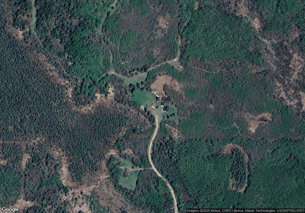
Map
Nearby Homes
- TBD Danson Rd
- TBD Rd
- 14400 River Rd
- 17416 Danson Rd
- 18128 Badger Rd
- 29969 Sunny Beach Rd
- 30047 Sunny Beach Rd
- 30091 Sunny Beach Rd
- 34504 Lipscy Nieman Rd
- XXX Nicholas St
- 3047X Nicholas St
- 30XXX Nicholas St
- 304XX Nicholas St
- 3XXXX Nicholas St
- tbd Nicholas St
- 30901 Sunny Beach Rd
- 18149 US Highway 169
- 11599 US Highway 169
- 17585 S Crystal Springs Rd
- 32048 Southwood Rd
- 13495 Pugh Rd
- 29734 Splithand Rd
- 29739 Splithand Rd
- 29432 Splithand Rd
- 29585 Splithand Rd
- 29717 Splithand Rd
- 29767 Splithand Rd
- 29783 Splithand Rd
- 29641 Splithand Rd
- 29565 Splithand Rd
- 29565 Splithand Rd
- 29501 Splithand Rd
- 29833 Splithand Rd
- 29405 Splithand Rd
- 29405 Splithand Rd
- 29871 Splithand Rd
- 29985 Splithand Rd
- 29985 Splithand Rd
- 29287 Splithand Rd
- TBD Phillips Rd