13579 R Dr N Battle Creek, MI 49014
Estimated Value: $350,000 - $550,000
3
Beds
3
Baths
2,380
Sq Ft
$181/Sq Ft
Est. Value
About This Home
This home is located at 13579 R Dr N, Battle Creek, MI 49014 and is currently estimated at $430,109, approximately $180 per square foot. 13579 R Dr N is a home located in Calhoun County with nearby schools including Bellevue Elementary School, Bellevue Junior/Senior High School, and Mt. Olivet Christian School.
Ownership History
Date
Name
Owned For
Owner Type
Purchase Details
Closed on
Jul 6, 2020
Sold by
Crum Mark C and Crum Moreen C
Bought by
Loy Trinity and Loy Kathy
Current Estimated Value
Home Financials for this Owner
Home Financials are based on the most recent Mortgage that was taken out on this home.
Original Mortgage
$294,566
Outstanding Balance
$261,202
Interest Rate
3.1%
Mortgage Type
FHA
Estimated Equity
$168,907
Purchase Details
Closed on
Nov 12, 2010
Sold by
Warnke Anthony A
Bought by
Crum Mark C and Crum Moreen C
Home Financials for this Owner
Home Financials are based on the most recent Mortgage that was taken out on this home.
Original Mortgage
$255,350
Interest Rate
4.17%
Mortgage Type
VA
Create a Home Valuation Report for This Property
The Home Valuation Report is an in-depth analysis detailing your home's value as well as a comparison with similar homes in the area
Home Values in the Area
Average Home Value in this Area
Purchase History
| Date | Buyer | Sale Price | Title Company |
|---|---|---|---|
| Loy Trinity | $300,000 | None Available | |
| Crum Mark C | $250,000 | First American Title Ins Co |
Source: Public Records
Mortgage History
| Date | Status | Borrower | Loan Amount |
|---|---|---|---|
| Open | Loy Trinity | $294,566 | |
| Previous Owner | Crum Mark C | $255,350 |
Source: Public Records
Tax History Compared to Growth
Tax History
| Year | Tax Paid | Tax Assessment Tax Assessment Total Assessment is a certain percentage of the fair market value that is determined by local assessors to be the total taxable value of land and additions on the property. | Land | Improvement |
|---|---|---|---|---|
| 2025 | $4,160 | $169,600 | $0 | $0 |
| 2024 | $1,595 | $165,900 | $0 | $0 |
| 2023 | $3,018 | $160,200 | $0 | $0 |
| 2022 | $1,447 | $138,500 | $0 | $0 |
| 2021 | $3,018 | $123,200 | $0 | $0 |
| 2020 | $2,880 | $112,000 | $0 | $0 |
| 2019 | $0 | $113,000 | $0 | $0 |
| 2018 | $0 | $115,800 | $45,700 | $70,100 |
| 2017 | $0 | $109,300 | $0 | $0 |
| 2016 | $0 | $99,200 | $0 | $0 |
| 2015 | -- | $103,200 | $0 | $0 |
| 2014 | -- | $96,000 | $0 | $0 |
Source: Public Records
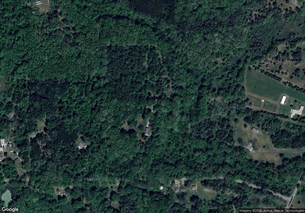
Map
Nearby Homes
- 20900 14 Mile Rd
- 12986 Bellevue Rd
- 11864 Gorsline Rd
- 0 Fairway Dr
- 19890 16 Mile Rd
- 332 Community Dr
- 13887 L Dr N
- 21534 Clear Lake Ave
- 22485 Clear Lake Rd N
- 0 Lynch Rd Unit 25041472
- 19016 11 Mile Rd
- 21350 Junction Rd
- 11303 W Dr N
- 20291 Chippewa Trail
- V/L Burton Hwy
- V L Burton Hwy
- 10950 W Dr N
- 20259 Pine Lake Rd
- 22975 Pine Lake Rd
- 9559 Brian Dr