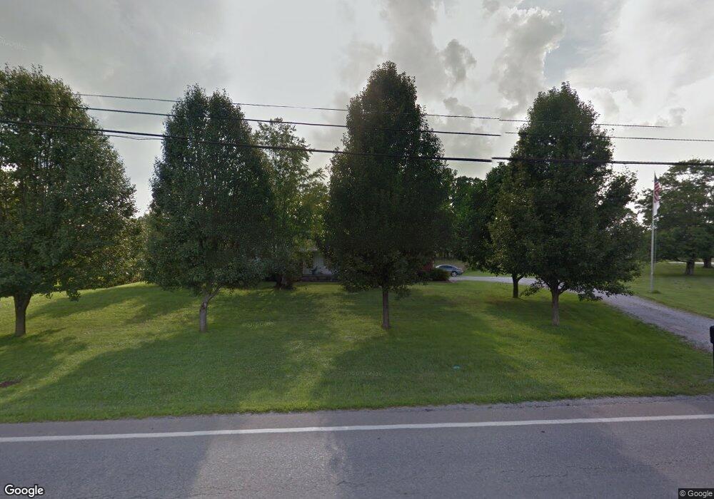
13581 Us Highway 68 Mount Orab, OH 45154
Estimated Value: $233,000 - $287,000
3
Beds
2
Baths
1,348
Sq Ft
$191/Sq Ft
Est. Value
About This Home
This home is located at 13581 Us Highway 68, Mount Orab, OH 45154 and is currently estimated at $257,113, approximately $190 per square foot. 13581 Us Highway 68 is a home with nearby schools including Western Brown High School.
Ownership History
Date
Name
Owned For
Owner Type
Purchase Details
Closed on
Oct 18, 2000
Sold by
Dorothy Page Est
Bought by
Hopkins Rhonda
Current Estimated Value
Home Financials for this Owner
Home Financials are based on the most recent Mortgage that was taken out on this home.
Original Mortgage
$111,150
Outstanding Balance
$40,651
Interest Rate
7.96%
Mortgage Type
New Conventional
Estimated Equity
$216,462
Create a Home Valuation Report for This Property
The Home Valuation Report is an in-depth analysis detailing your home's value as well as a comparison with similar homes in the area
Home Values in the Area
Average Home Value in this Area
Purchase History
| Date | Buyer | Sale Price | Title Company |
|---|---|---|---|
| Hopkins Rhonda | $117,000 | -- |
Source: Public Records
Mortgage History
| Date | Status | Borrower | Loan Amount |
|---|---|---|---|
| Open | Hopkins Rhonda | $111,150 |
Source: Public Records
Tax History Compared to Growth
Tax History
| Year | Tax Paid | Tax Assessment Tax Assessment Total Assessment is a certain percentage of the fair market value that is determined by local assessors to be the total taxable value of land and additions on the property. | Land | Improvement |
|---|---|---|---|---|
| 2024 | $1,785 | $63,240 | $9,170 | $54,070 |
| 2023 | $1,785 | $49,360 | $7,100 | $42,260 |
| 2022 | $1,434 | $49,360 | $7,100 | $42,260 |
| 2021 | $1,418 | $49,360 | $7,100 | $42,260 |
| 2020 | $1,224 | $41,140 | $5,920 | $35,220 |
| 2019 | $1,316 | $41,140 | $5,920 | $35,220 |
| 2018 | $1,305 | $41,140 | $5,920 | $35,220 |
| 2017 | $1,093 | $34,100 | $5,920 | $28,180 |
| 2016 | $1,093 | $34,100 | $5,920 | $28,180 |
| 2015 | $1,083 | $34,100 | $5,920 | $28,180 |
| 2014 | $1,083 | $33,560 | $5,380 | $28,180 |
| 2013 | $1,080 | $33,560 | $5,380 | $28,180 |
Source: Public Records
Map
Nearby Homes
- 781 S High St
- 424 Liming Farm Rd
- 108 Brookshire Way
- 216 Red Bud Ln
- 419 Liming Farm Rd
- 3524 Pleasant Hill Rd
- 301 Forest Trail
- 3305 Pleasant Hill Rd
- 408 Smith Ave
- 306 Forest Trail
- 309 1/2 Water St
- 202 Gregory St
- 208 Gregory St
- 206 Gregory St
- 210 Gregory St
- 214 Gregory St
- 402 E Main St
- 329 E Main St
- 506 E Main St
- 108 Lonny St