13591 State Route 67 Kenton, OH 43326
Estimated Value: $330,000 - $4,641,154
3
Beds
3
Baths
1,683
Sq Ft
$1,477/Sq Ft
Est. Value
About This Home
This home is located at 13591 State Route 67, Kenton, OH 43326 and is currently estimated at $2,485,577, approximately $1,476 per square foot. 13591 State Route 67 is a home located in Hardin County with nearby schools including Kenton Elementary School, Kenton Middle School, and Kenton High School.
Ownership History
Date
Name
Owned For
Owner Type
Purchase Details
Closed on
May 3, 2021
Sold by
Martin Alesia R and Sorgen Alesia R
Bought by
A Martin Farms Llc
Current Estimated Value
Purchase Details
Closed on
Aug 24, 2004
Bought by
Sorgen Jeffrey J and Sorgen Alesi
Purchase Details
Closed on
Apr 30, 1992
Create a Home Valuation Report for This Property
The Home Valuation Report is an in-depth analysis detailing your home's value as well as a comparison with similar homes in the area
Purchase History
| Date | Buyer | Sale Price | Title Company |
|---|---|---|---|
| A Martin Farms Llc | -- | None Available | |
| Sorgen Jeffrey J | $365,000 | -- | |
| -- | -- | -- |
Source: Public Records
Tax History
| Year | Tax Paid | Tax Assessment Tax Assessment Total Assessment is a certain percentage of the fair market value that is determined by local assessors to be the total taxable value of land and additions on the property. | Land | Improvement |
|---|---|---|---|---|
| 2024 | $20,781 | $444,330 | $382,640 | $61,690 |
| 2023 | $20,319 | $444,330 | $382,640 | $61,690 |
| 2022 | $13,293 | $262,850 | $207,590 | $55,260 |
| 2021 | $13,253 | $261,030 | $205,770 | $55,260 |
| 2020 | $11,645 | $261,030 | $205,770 | $55,260 |
| 2019 | $15,376 | $380,060 | $332,740 | $47,320 |
| 2018 | $16,172 | $380,060 | $332,740 | $47,320 |
| 2017 | $7,911 | $379,870 | $332,550 | $47,320 |
| 2016 | $21,238 | $550,730 | $507,940 | $42,790 |
| 2015 | $19,610 | $550,730 | $507,940 | $42,790 |
| 2014 | $10,725 | $543,410 | $500,620 | $42,790 |
| 2013 | $5,965 | $262,690 | $222,210 | $40,480 |
Source: Public Records
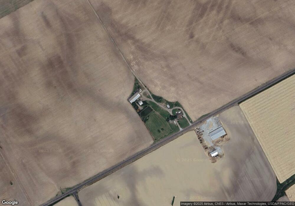
Map
Nearby Homes
- 95 Hillcrest Ln
- 404 N Glendale St
- 416 Center St
- 219 W Carrol St
- 703 S Detroit St
- 310 N Market St
- 226 S Wayne St
- 639 S Main St
- 233 N Main St
- 121 S High St
- 10568 County Road 145
- 405 E Carroll St
- 508 Decatur St
- 405 E Carrol St Unit 405 1/2
- 510 Decatur St
- 354 S Barron St
- 420 E Carrol St
- 509 E North St
- 39 Grape St
- 0 N Barron St Unit Lot 6
- 13038 County Road 130
- 12604 County Road 130
- 12641 County Road 130
- 13086 County Road 130
- 960 Robinson Ave
- 12286 County Road 130
- 12289 County Road 130
- 12289 County Road 130
- 13025 State Route 67
- 12774 Township Road 135
- 899 W Franklin St
- 927 Robinson Ave
- 14040 State Route 67
- 925 Robinson Ave
- 12654 Township Road 135
- 900 W Franklin St
- 912 Robinson Ave
- 923 Robinson Ave
Your Personal Tour Guide
Ask me questions while you tour the home.