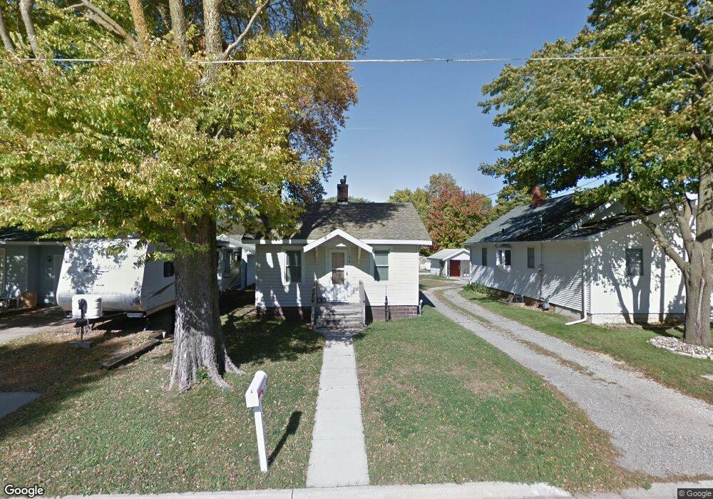
136 29th St SW Mason City, IA 50401
Estimated Value: $67,389 - $100,000
1
Bed
2
Baths
484
Sq Ft
$172/Sq Ft
Est. Value
About This Home
This home is located at 136 29th St SW, Mason City, IA 50401 and is currently estimated at $83,347, approximately $172 per square foot. 136 29th St SW is a home located in Cerro Gordo County with nearby schools including Mason City High School, Newman Catholic Elementary School, and North Iowa Christian School.
Ownership History
Date
Name
Owned For
Owner Type
Purchase Details
Closed on
Sep 6, 2022
Sold by
Phyllis L Kelly Revocable Trust
Bought by
Thomas Kelly Trust
Current Estimated Value
Purchase Details
Closed on
Apr 15, 2005
Sold by
Borger Jeffrey Lee and Borger Sheila K
Bought by
Kelly Thomas
Home Financials for this Owner
Home Financials are based on the most recent Mortgage that was taken out on this home.
Original Mortgage
$40,000
Interest Rate
6.05%
Mortgage Type
New Conventional
Create a Home Valuation Report for This Property
The Home Valuation Report is an in-depth analysis detailing your home's value as well as a comparison with similar homes in the area
Home Values in the Area
Average Home Value in this Area
Purchase History
| Date | Buyer | Sale Price | Title Company |
|---|---|---|---|
| Thomas Kelly Trust | -- | -- | |
| Kelly Thomas | $52,500 | -- |
Source: Public Records
Mortgage History
| Date | Status | Borrower | Loan Amount |
|---|---|---|---|
| Previous Owner | Kelly Thomas | $40,000 |
Source: Public Records
Tax History Compared to Growth
Tax History
| Year | Tax Paid | Tax Assessment Tax Assessment Total Assessment is a certain percentage of the fair market value that is determined by local assessors to be the total taxable value of land and additions on the property. | Land | Improvement |
|---|---|---|---|---|
| 2024 | $688 | $53,200 | $10,400 | $42,800 |
| 2023 | $744 | $53,200 | $10,400 | $42,800 |
| 2022 | $734 | $46,420 | $8,000 | $38,420 |
| 2021 | $736 | $44,640 | $8,000 | $36,640 |
| 2020 | $922 | $42,520 | $8,000 | $34,520 |
| 2019 | $660 | $0 | $0 | $0 |
| 2018 | $526 | $0 | $0 | $0 |
| 2017 | $544 | $0 | $0 | $0 |
| 2016 | $526 | $0 | $0 | $0 |
| 2015 | $526 | $0 | $0 | $0 |
| 2014 | $638 | $0 | $0 | $0 |
| 2013 | $610 | $0 | $0 | $0 |
Source: Public Records
Map
Nearby Homes
- 0 28th SW
- 428 29th St SW
- 42 33rd St SE
- 0 33rd St SE
- 3310 Delaware Ave
- 3310 S Delaware Ave
- 20 34th St SE
- 54 Stony Way
- 728 S Monroe Ct
- 723 S Monroe Ct
- 82 Sunny Cir
- 1960 S Federal Ave
- 225 20th St SE
- 1973 S Carolina Ave
- 512 17th St SE
- 308 15th St SE
- 143 11th St SW
- 1311 S Massachusetts Ave
- 702 17th St SE Unit 2
- 677 14th St SE
- 134 29th St SW
- 142 29th St SW
- 131 28th St SW
- 139 28th St SW
- 2820 S Adams Ave
- 143 28th St SW
- 131 29th St SW
- 139 29th St SW
- 129 29th St SW
- 114 29th St SW
- 206 29th St SW
- 119 28th St SW
- 2804 S Adams Ave
- 201 29th St SW
- 121 29th St SW
- 205 28th St SW
- 115 28th St SW
- 205 29th St SW
- 110 29th St SW
- 214 29th St SW