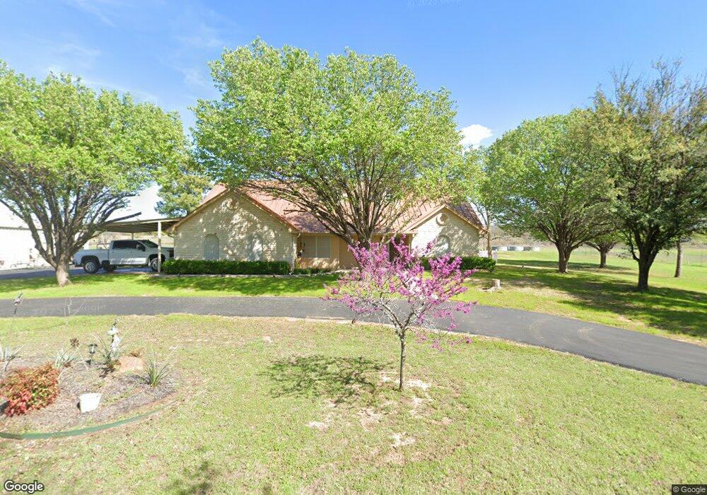
136 Blairport Ln Weatherford, TX 76087
Estimated Value: $503,000 - $706,000
--
Bed
--
Bath
1,759
Sq Ft
$323/Sq Ft
Est. Value
About This Home
This home is located at 136 Blairport Ln, Weatherford, TX 76087 and is currently estimated at $567,433, approximately $322 per square foot. 136 Blairport Ln is a home with nearby schools including Brock Intermediate School, Brock Junior High School, and Brock High School.
Ownership History
Date
Name
Owned For
Owner Type
Purchase Details
Closed on
Nov 16, 2006
Sold by
Blair Tanya Jo
Bought by
Blair Geary Lynn
Current Estimated Value
Purchase Details
Closed on
Feb 1, 2006
Sold by
Kimbro Ivory and Sharp Stephen
Bought by
Blair Geary and Blair Tanya
Home Financials for this Owner
Home Financials are based on the most recent Mortgage that was taken out on this home.
Original Mortgage
$320,000
Interest Rate
6.18%
Mortgage Type
Purchase Money Mortgage
Create a Home Valuation Report for This Property
The Home Valuation Report is an in-depth analysis detailing your home's value as well as a comparison with similar homes in the area
Home Values in the Area
Average Home Value in this Area
Purchase History
| Date | Buyer | Sale Price | Title Company |
|---|---|---|---|
| Blair Geary Lynn | -- | None Available | |
| Blair Geary | -- | None Available |
Source: Public Records
Mortgage History
| Date | Status | Borrower | Loan Amount |
|---|---|---|---|
| Closed | Blair Geary | $320,000 | |
| Closed | Blair Geary Lynn | $0 |
Source: Public Records
Tax History Compared to Growth
Tax History
| Year | Tax Paid | Tax Assessment Tax Assessment Total Assessment is a certain percentage of the fair market value that is determined by local assessors to be the total taxable value of land and additions on the property. | Land | Improvement |
|---|---|---|---|---|
| 2025 | $1,244 | $568,458 | -- | -- |
| 2024 | $1,244 | $516,780 | -- | -- |
| 2023 | $1,244 | $469,800 | $0 | $0 |
| 2022 | $8,671 | $464,440 | $80,030 | $384,410 |
| 2021 | $8,289 | $464,440 | $80,030 | $384,410 |
| 2020 | $7,640 | $352,970 | $59,230 | $293,740 |
| 2019 | $8,226 | $352,970 | $59,230 | $293,740 |
| 2018 | $7,305 | $312,020 | $46,600 | $265,420 |
| 2017 | $6,386 | $312,020 | $46,600 | $265,420 |
| 2016 | $5,805 | $252,340 | $44,640 | $207,700 |
| 2015 | $5,341 | $252,340 | $44,640 | $207,700 |
| 2014 | $5,149 | $234,630 | $30,340 | $204,290 |
Source: Public Records
Map
Nearby Homes
- 102 Eagle Pass Ln
- 734 Young Bend Rd
- 1700 Fm 1189
- 2041 Verona Dr
- 4000 Luciano Dr
- 2004 Verona Dr
- 3036 Palermo Dr
- 2007 Verona Dr
- 2026 Verona Dr
- 2030 Verona Dr
- TBD1 Farm To Market Road 1189
- 2042 Verona Dr
- 304 Red Roan Ridge
- 2053 Verona Dr
- 131 Brock Ln
- 201 Pritchard Ln
- TBD Grindstone Rd
- 3401 Fm 1189
- 169 Savannah Dr
- 1051 Kingsley Ct
- 203 Young Bend Rd
- 130 Blairport Ln
- 122 Blairport Ln
- 1509 Fm 1189
- 1509 Fm 1189
- 118 Blairport Ln
- 140 Eagle Pass Ln
- Lot 2 Blairport Ln
- 617 Young Bend Rd
- 349 Young Bend Rd
- 146 Eagle Pass Ln
- 128 Eagle Pass Ln
- 134 Eagle Pass Ln
- 703 Young Bend Rd
- 122 Eagle Pass Ln
- 141 Eagles Crest Ln
- 136 Eagle Pass Ln
- 515 Young Bend Rd
- 421 Young Bend Rd
- 421 Young Bend Rd