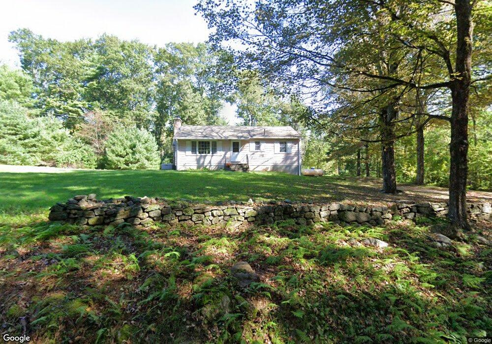
136 Bradway Rd Stafford Springs, CT 06076
Stafford NeighborhoodEstimated Value: $277,000 - $297,103
3
Beds
1
Bath
1,120
Sq Ft
$259/Sq Ft
Est. Value
About This Home
This home is located at 136 Bradway Rd, Stafford Springs, CT 06076 and is currently estimated at $290,026, approximately $258 per square foot. 136 Bradway Rd is a home located in Tolland County with nearby schools including Stafford Elementary School, Stafford Middle School, and Stafford High School.
Ownership History
Date
Name
Owned For
Owner Type
Purchase Details
Closed on
Jun 30, 2021
Sold by
Bradway William R and Rhodes Claudia
Bought by
Bradway Emily N
Current Estimated Value
Home Financials for this Owner
Home Financials are based on the most recent Mortgage that was taken out on this home.
Original Mortgage
$144,000
Outstanding Balance
$130,658
Interest Rate
2.9%
Mortgage Type
Purchase Money Mortgage
Estimated Equity
$159,368
Purchase Details
Closed on
Mar 23, 2015
Sold by
Bradway Emma L
Bought by
Bradway William R and Rhodes Claudia
Purchase Details
Closed on
Sep 13, 1967
Bought by
Bradway William R and Bradway Claudia A
Create a Home Valuation Report for This Property
The Home Valuation Report is an in-depth analysis detailing your home's value as well as a comparison with similar homes in the area
Home Values in the Area
Average Home Value in this Area
Purchase History
| Date | Buyer | Sale Price | Title Company |
|---|---|---|---|
| Bradway Emily N | $180,000 | None Available | |
| Bradway William R | -- | -- | |
| Bradway William R | -- | -- | |
| Bradway William R | -- | -- |
Source: Public Records
Mortgage History
| Date | Status | Borrower | Loan Amount |
|---|---|---|---|
| Open | Bradway Emily N | $144,000 |
Source: Public Records
Tax History Compared to Growth
Tax History
| Year | Tax Paid | Tax Assessment Tax Assessment Total Assessment is a certain percentage of the fair market value that is determined by local assessors to be the total taxable value of land and additions on the property. | Land | Improvement |
|---|---|---|---|---|
| 2025 | $6,272 | $108,080 | $32,690 | $75,390 |
| 2024 | $4,171 | $108,080 | $32,690 | $75,390 |
| 2023 | $3,973 | $108,080 | $32,690 | $75,390 |
| 2022 | $3,867 | $108,080 | $32,690 | $75,390 |
| 2021 | $3,775 | $108,080 | $32,690 | $75,390 |
| 2020 | $3,827 | $109,550 | $38,010 | $71,540 |
| 2019 | $4,054 | $116,060 | $38,010 | $78,050 |
| 2018 | $3,976 | $116,060 | $38,010 | $78,050 |
| 2017 | $3,938 | $116,060 | $38,010 | $78,050 |
| 2016 | $3,889 | $116,060 | $38,010 | $78,050 |
| 2015 | $3,714 | $111,300 | $38,010 | $73,290 |
| 2014 | -- | $111,300 | $38,010 | $73,290 |
Source: Public Records
Map
Nearby Homes
- 89 Bradway Rd
- 237 Upper Rd
- 174 Stafford St
- 3 Hemlock Cir
- 8 South Rd Unit W86
- 8 South Rd Unit WW4
- 8 South Rd Unit R80
- 8 South Rd Unit R29
- 74 Crooked S Rd
- 31 Lake Shore Blvd
- 107 Hydeville Rd
- 28 Fluery Dr
- 13 Goodell Rd
- 41 Delphi Rd
- 4 Leonard Rd
- 336 East St
- 113 Michelec Rd
- 4 Pinewood Ln
- 105 Leonard Rd
- 2 Pinewood Ln
- 161 Bradway Rd
- 109 Bradway Rd
- 144 South Rd
- 93 Bradway Rd
- R South Rd
- 77 Bradway Rd
- 85 Bradway Rd
- 197 Bradway Rd
- 81 Bradway Rd
- 2 Leisure Dr
- 0 0 Unit G503676
- 163 Rfd Rd
- WW S Rd-Roaring Brook
- 161 Rfd Rd
- 69 Sartori Rd
- 157 Rfd Rd
- 8 S 'Roaring Brook Campground' Rd Unit w11
- T91 Roaring Brook Rd Unit T91
- 42-4 (D) Shore Dr
- oo Cemetery Rd