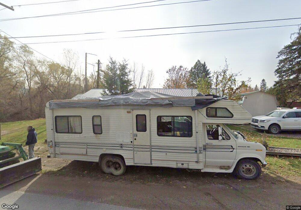
136 Braig Rd Columbia Falls, MT 59912
Estimated Value: $562,926 - $620,000
1
Bed
1
Bath
1,645
Sq Ft
$356/Sq Ft
Est. Value
About This Home
This home is located at 136 Braig Rd, Columbia Falls, MT 59912 and is currently estimated at $585,642, approximately $356 per square foot. 136 Braig Rd is a home located in Flathead County with nearby schools including Glacier Gateway Elementary School, Columbia Falls Junior High School (7-8), and Columbia Falls High School.
Ownership History
Date
Name
Owned For
Owner Type
Purchase Details
Closed on
Dec 15, 2014
Sold by
West Diana
Bought by
West Richard
Current Estimated Value
Purchase Details
Closed on
May 19, 2014
Sold by
West Diana
Bought by
West Diana and West Richard
Purchase Details
Closed on
Apr 10, 2013
Sold by
West Richard A and West Diana
Bought by
West Diana
Home Financials for this Owner
Home Financials are based on the most recent Mortgage that was taken out on this home.
Original Mortgage
$175,000
Interest Rate
3.47%
Mortgage Type
New Conventional
Purchase Details
Closed on
Apr 9, 2013
Sold by
West Diana
Bought by
West Richard A and West Diana
Home Financials for this Owner
Home Financials are based on the most recent Mortgage that was taken out on this home.
Original Mortgage
$175,000
Interest Rate
3.47%
Mortgage Type
New Conventional
Purchase Details
Closed on
Jan 31, 2013
Sold by
West Richard A and West Diana
Bought by
West Diana
Create a Home Valuation Report for This Property
The Home Valuation Report is an in-depth analysis detailing your home's value as well as a comparison with similar homes in the area
Home Values in the Area
Average Home Value in this Area
Purchase History
| Date | Buyer | Sale Price | Title Company |
|---|---|---|---|
| West Richard | -- | None Available | |
| West Diana | -- | None Available | |
| West Diana | -- | Atec | |
| West Richard A | -- | Atec | |
| West Diana | -- | None Available |
Source: Public Records
Mortgage History
| Date | Status | Borrower | Loan Amount |
|---|---|---|---|
| Previous Owner | West Richard A | $175,000 |
Source: Public Records
Tax History Compared to Growth
Tax History
| Year | Tax Paid | Tax Assessment Tax Assessment Total Assessment is a certain percentage of the fair market value that is determined by local assessors to be the total taxable value of land and additions on the property. | Land | Improvement |
|---|---|---|---|---|
| 2025 | $1,269 | $456,600 | $0 | $0 |
| 2024 | $2,072 | $435,300 | $0 | $0 |
| 2023 | $2,436 | $435,300 | $0 | $0 |
| 2022 | $1,636 | $265,100 | $0 | $0 |
| 2021 | $1,433 | $265,100 | $0 | $0 |
| 2020 | $1,311 | $236,060 | $0 | $0 |
| 2019 | $1,246 | $236,060 | $0 | $0 |
| 2018 | $927 | $188,500 | $0 | $0 |
| 2017 | $904 | $188,500 | $0 | $0 |
| 2016 | $810 | $164,800 | $0 | $0 |
| 2015 | $395 | $164,800 | $0 | $0 |
| 2014 | $1,303 | $116,123 | $0 | $0 |
Source: Public Records
Map
Nearby Homes
- 1275 Timber Ridge Ct
- 189 Dawn Dr
- 446 Hidden Meadow Ln
- 1097 Timber Ridge Ct
- 425 Terrace Dr
- 127 Turnberry Terrace
- 34 Turnberry Ln
- 292 Turnberry Terrace
- 47 Trumbull Ridge Rd
- 8786 U S 2
- 555 Saint Andrews Dr Unit 312 E
- 272 Gleneagles Trail
- 654 Saint Andrews Dr
- 277 Gleneagles Trail
- 110 Lone Cedar Ln
- 5 Darlene Rd
- 695 Saint Andrews Dr
- 315 Gleneagles Trail
- 327 Gleneagles Trail
- 124 Spyglass Hill Loop Unit 1483 47-E
