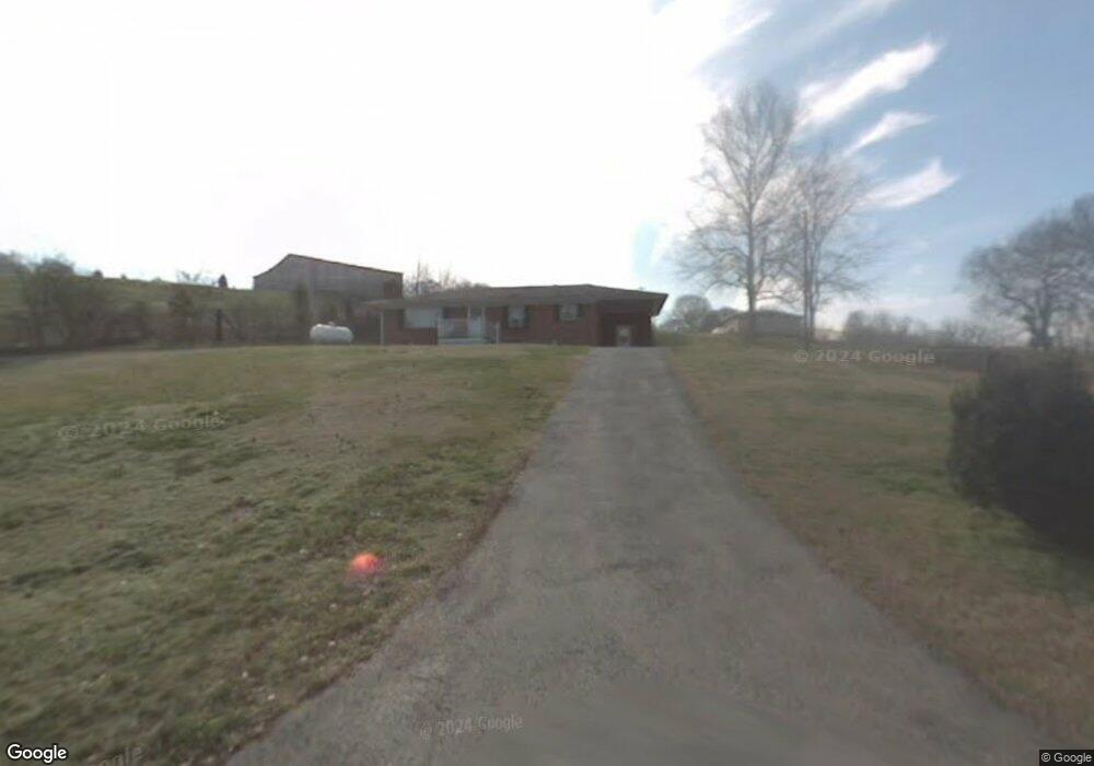
136 Brock Ln NE Charleston, TN 37310
Estimated Value: $171,435 - $224,000
2
Beds
1
Bath
1,118
Sq Ft
$171/Sq Ft
Est. Value
About This Home
This home is located at 136 Brock Ln NE, Charleston, TN 37310 and is currently estimated at $190,859, approximately $170 per square foot. 136 Brock Ln NE is a home located in Bradley County with nearby schools including Charleston Elementary School, Ocoee Middle School, and Walker Valley High School.
Ownership History
Date
Name
Owned For
Owner Type
Purchase Details
Closed on
Jan 5, 2017
Sold by
Brown Billy J
Bought by
Brown James Michael and Brown Tina M
Current Estimated Value
Home Financials for this Owner
Home Financials are based on the most recent Mortgage that was taken out on this home.
Original Mortgage
$60,000
Outstanding Balance
$49,460
Interest Rate
4.13%
Mortgage Type
New Conventional
Estimated Equity
$141,399
Purchase Details
Closed on
Nov 12, 2004
Sold by
Robbins Mildred Hazel
Bought by
Brown Billy J
Create a Home Valuation Report for This Property
The Home Valuation Report is an in-depth analysis detailing your home's value as well as a comparison with similar homes in the area
Home Values in the Area
Average Home Value in this Area
Purchase History
| Date | Buyer | Sale Price | Title Company |
|---|---|---|---|
| Brown James Michael | $73,000 | -- | |
| Brown Billy J | $51,100 | -- | |
| Brown Billy J | $51,100 | -- |
Source: Public Records
Mortgage History
| Date | Status | Borrower | Loan Amount |
|---|---|---|---|
| Open | Brown James Michael | $60,000 |
Source: Public Records
Tax History Compared to Growth
Tax History
| Year | Tax Paid | Tax Assessment Tax Assessment Total Assessment is a certain percentage of the fair market value that is determined by local assessors to be the total taxable value of land and additions on the property. | Land | Improvement |
|---|---|---|---|---|
| 2024 | $497 | $27,175 | $3,200 | $23,975 |
| 2023 | $497 | $27,175 | $3,200 | $23,975 |
| 2022 | $497 | $27,175 | $3,200 | $23,975 |
| 2021 | $497 | $27,175 | $0 | $0 |
| 2020 | $438 | $27,175 | $0 | $0 |
| 2019 | $438 | $19,250 | $0 | $0 |
| 2018 | $329 | $0 | $0 | $0 |
| 2017 | $321 | $0 | $0 | $0 |
| 2016 | $502 | $0 | $0 | $0 |
| 2015 | $321 | $0 | $0 | $0 |
| 2014 | $320 | $0 | $0 | $0 |
Source: Public Records
Map
Nearby Homes
- 265 Scott St NE
- 188 Bates St NE
- 389 Market St NE
- 141 Church St
- 308 Riverside Dr NE
- 176 Water Ln NW
- 111 Fairhill Ave
- 125 Highland Ave
- Lot 4 State Highway 163
- Lot 2 State Highway 163
- Lot 5 State Highway 163
- Lot 3 State Highway 163
- 120 7th St
- 261 Cass Ln NW
- 257 Cass Ln NW
- O Old Lower River Rd NW
- 0 Old Lower River Rd NW Unit 20253533
- 4971 Highway 11 S
- Lot 4 Upper River Rd NE
- Lot 4 County Road 950
- 306 Bates St NE
- 306 Bates St NE
- 310 Bates St NE
- 139 Brock Ln NE
- 146 Brock Ln NE
- 127 Brock Ln NE
- 127 Brock Ln NE
- 324 Bates St NE
- 159 Brock Ln NE
- 308 Bates St NE
- 336 Bates St NE
- 292 Bates St NE
- 121 Longwith St NE
- 278 Bates St NE
- 3188 Railroad St NE
- 3180 Railroad St NE
- 263 Water St NE
- 364 Bates St NE
- 315 Scott St NE
- 3162 Railroad St NE