Estimated Value: $587,518 - $652,000
3
Beds
--
Bath
1,518
Sq Ft
$410/Sq Ft
Est. Value
About This Home
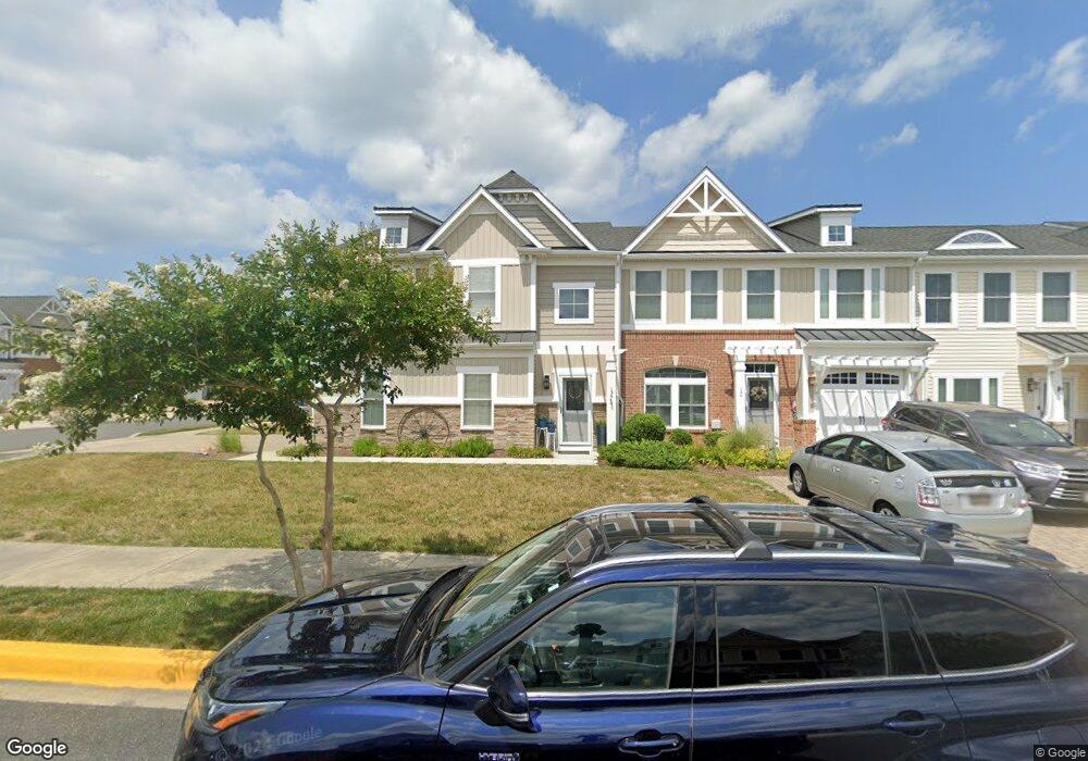
This home is located at 136 Carter Way, Lewes, DE 19958 and is currently estimated at $621,630, approximately $409 per square foot. 136 Carter Way is a home with nearby schools including Lewes Elementary School, Mariner Middle School, and Cape Henlopen High School.
Ownership History
Date
Name
Owned For
Owner Type
Purchase Details
Closed on
Aug 26, 2013
Sold by
Nvr Inc
Bought by
Palmer Dale C and Palmer Sharon D
Current Estimated Value
Home Financials for this Owner
Home Financials are based on the most recent Mortgage that was taken out on this home.
Original Mortgage
$265,400
Outstanding Balance
$198,207
Interest Rate
4.42%
Estimated Equity
$423,423
Purchase Details
Closed on
Jun 13, 2013
Sold by
Lifetime Living Llc
Bought by
Nvr Inc
Purchase Details
Closed on
May 28, 2013
Sold by
Lifetime Living Llc
Bought by
Nvr Inc
Create a Home Valuation Report for This Property
The Home Valuation Report is an in-depth analysis detailing your home's value as well as a comparison with similar homes in the area
Home Values in the Area
Average Home Value in this Area
Purchase History
| Date | Buyer | Sale Price | Title Company |
|---|---|---|---|
| Palmer Dale C | $331,000 | -- | |
| Nvr Inc | $275,000 | -- | |
| Nvr Inc | $275,000 | -- |
Source: Public Records
Mortgage History
| Date | Status | Borrower | Loan Amount |
|---|---|---|---|
| Open | Palmer Dale C | $265,400 |
Source: Public Records
Tax History
| Year | Tax Paid | Tax Assessment Tax Assessment Total Assessment is a certain percentage of the fair market value that is determined by local assessors to be the total taxable value of land and additions on the property. | Land | Improvement |
|---|---|---|---|---|
| 2025 | $1,197 | $29,950 | $1,800 | $28,150 |
| 2024 | $1,503 | $29,950 | $1,800 | $28,150 |
| 2023 | $1,502 | $29,950 | $1,800 | $28,150 |
| 2022 | $1,450 | $29,950 | $1,800 | $28,150 |
| 2021 | $1,436 | $29,950 | $1,800 | $28,150 |
| 2020 | $1,406 | $29,950 | $1,800 | $28,150 |
| 2019 | $1,408 | $29,950 | $1,800 | $28,150 |
| 2018 | $1,315 | $29,950 | $0 | $0 |
| 2017 | $1,260 | $29,950 | $0 | $0 |
| 2016 | $1,196 | $29,950 | $0 | $0 |
| 2015 | $1,143 | $29,950 | $0 | $0 |
| 2014 | $1,068 | $29,950 | $0 | $0 |
Source: Public Records
Map
Nearby Homes
- 15503 Solomon Way
- 15502 Solomon Way
- Lot 79 New Rd
- 201 Red Cedar Dr
- 33802 Joel Ln
- 15513 Solomon Way
- 15515 Solomon Way
- 149 Jacks Way Unit 18
- 33811 Joel Ln
- 15428 Solomon Way
- 33815 Joel Ln
- 305 Seagull Dr
- 131 New Rd
- 159 Tylers Cir Unit 14
- 165 Tyler's Cir
- 3 Wellington Ct
- 16512 E Kea Way
- 1 Harborview Rd
- 558 Pilottown Rd
- 15210 W Kea Way
- 134 Carter Way
- 133 Carter Way
- 135 Carter Way
- 132 Carter Way
- 130 Carter Way
- 317 Samantha Dr
- 128 Carter Way
- 406 Samantha Dr
- 133 Carter Way
- 127 Carter Way
- 323 Samantha Dr
- 315 Samantha Dr
- 402 Samantha Dr
- 404 Samantha Dr
- 321 Samantha Dr
- 311 Samantha Dr
- 129 Carter Way
- 408 Samantha Dr
- 133 133 Carter Way
- 325 Samantha Dr
Your Personal Tour Guide
Ask me questions while you tour the home.