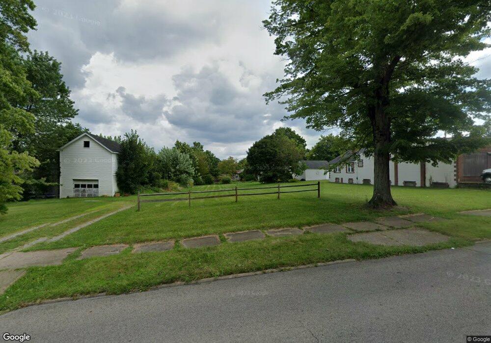
136 Center St Struthers, OH 44471
Estimated Value: $106,000 - $156,000
Studio
1
Bath
--
Sq Ft
7,536
Sq Ft Lot
About This Home
This home is located at 136 Center St, Struthers, OH 44471 and is currently estimated at $132,290. 136 Center St is a home located in Mahoning County with nearby schools including Struthers Elementary School, Struthers Middle School, and Struthers High School.
Ownership History
Date
Name
Owned For
Owner Type
Purchase Details
Closed on
Sep 5, 2025
Sold by
Mahoning County Land Reutilization Corpo
Bought by
Kassem Mahmoud and Kassem Nancy
Current Estimated Value
Purchase Details
Closed on
Mar 3, 2015
Sold by
George Michael and George Shantall
Bought by
Mahoning County Land Reutilization Corpo
Purchase Details
Closed on
Aug 20, 2004
Sold by
Crosley William R and Crosley Margaret M
Bought by
George Michael and George Shantall
Home Financials for this Owner
Home Financials are based on the most recent Mortgage that was taken out on this home.
Original Mortgage
$61,200
Interest Rate
9%
Mortgage Type
Purchase Money Mortgage
Purchase Details
Closed on
Dec 31, 1992
Bought by
Crosley Wm R and Crosley Mgt M
Create a Home Valuation Report for This Property
The Home Valuation Report is an in-depth analysis detailing your home's value as well as a comparison with similar homes in the area
Home Values in the Area
Average Home Value in this Area
Purchase History
| Date | Buyer | Sale Price | Title Company |
|---|---|---|---|
| Kassem Mahmoud | -- | None Listed On Document | |
| Mahoning County Land Reutilization Corpo | $2,375 | Attorney | |
| George Michael | $68,000 | Nations Title Of Louisville | |
| Crosley Wm R | $38,000 | -- |
Source: Public Records
Mortgage History
| Date | Status | Borrower | Loan Amount |
|---|---|---|---|
| Previous Owner | George Michael | $61,200 |
Source: Public Records
Tax History
| Year | Tax Paid | Tax Assessment Tax Assessment Total Assessment is a certain percentage of the fair market value that is determined by local assessors to be the total taxable value of land and additions on the property. | Land | Improvement |
|---|---|---|---|---|
| 2025 | -- | $920 | $920 | -- |
| 2024 | -- | $920 | $920 | -- |
| 2022 | $0 | $920 | $920 | $0 |
| 2021 | $895 | $920 | $920 | $0 |
| 2020 | $895 | $920 | $920 | $0 |
| 2019 | $895 | $920 | $920 | $0 |
| 2018 | $1 | $920 | $920 | $0 |
| 2017 | $3 | $920 | $920 | $0 |
| 2016 | $3 | $920 | $920 | $0 |
| 2015 | $3 | $14,130 | $1,320 | $12,810 |
| 2014 | $764 | $14,130 | $1,320 | $12,810 |
| 2013 | $1,010 | $14,130 | $1,320 | $12,810 |
Source: Public Records
Map
Nearby Homes
- 34 W Lewis St
- 15 Katherine St
- 21 Katherine St
- 0 Anna Cir Unit 5192700
- 32 Como St
- 42 Wilson St
- 31 Eve Dr
- 39 Renee Dr
- 34 Iroquois St
- 131 Poland Ave
- 60 Renee Dr
- 59 Harvey St
- 54 Spring St
- 531 Audrey Ln
- 78 Sexton St
- 0 New Castle Rd
- 143 Wilson St
- 180 Marion Ave
- 51 Highland Ave
- 0 Smithfield St Unit 4336782
Your Personal Tour Guide
Ask me questions while you tour the home.