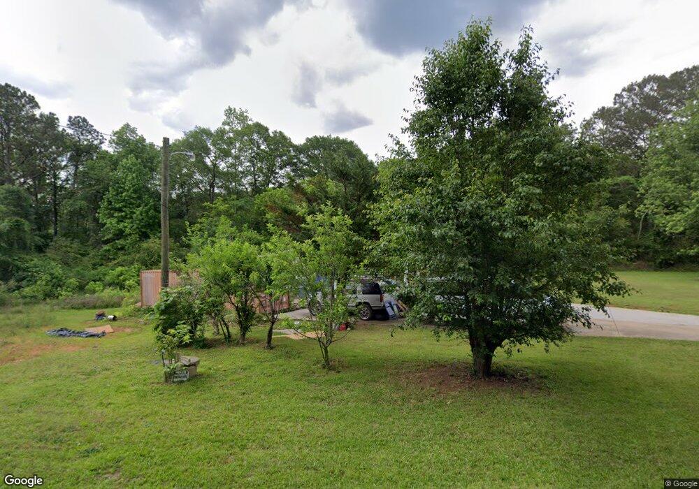
136 Derring Cir Newnan, GA 30263
Estimated Value: $165,335 - $237,000
3
Beds
2
Baths
1,326
Sq Ft
$156/Sq Ft
Est. Value
About This Home
This home is located at 136 Derring Cir, Newnan, GA 30263 and is currently estimated at $206,584, approximately $155 per square foot. 136 Derring Cir is a home located in Coweta County with nearby schools including Ruth Hill Elementary School, Smokey Road Middle School, and Newnan High School.
Ownership History
Date
Name
Owned For
Owner Type
Purchase Details
Closed on
Jun 6, 2014
Sold by
Landaverde Samuel
Bought by
Silva Sonia Martinez
Current Estimated Value
Purchase Details
Closed on
Aug 21, 2009
Sold by
Mlmi Trust 2006-He6
Bought by
Landaverde Samuel and Landaverde-Martine Esmeralda
Purchase Details
Closed on
Nov 4, 2008
Sold by
Bailey Willie E and Bailey Harriet
Bought by
Mlmi Trust Series 2006-He6
Purchase Details
Closed on
Jul 29, 2005
Sold by
Bailey Willie E and Bailey Harriet
Bought by
Bailey Willie E and Bailey Harriet
Purchase Details
Closed on
Mar 15, 2005
Sold by
Bailey Willie E and Bailey Ha
Bought by
Bailey Willie E and Bailey Harriet
Purchase Details
Closed on
Oct 29, 1991
Bought by
Bailey Willie E and Bailey Ha
Purchase Details
Closed on
May 12, 1969
Bought by
Deering Prince Est (
Create a Home Valuation Report for This Property
The Home Valuation Report is an in-depth analysis detailing your home's value as well as a comparison with similar homes in the area
Home Values in the Area
Average Home Value in this Area
Purchase History
| Date | Buyer | Sale Price | Title Company |
|---|---|---|---|
| Silva Sonia Martinez | -- | -- | |
| Landaverde Samuel | $18,000 | -- | |
| Mlmi Trust Series 2006-He6 | $32,000 | -- | |
| Bailey Willie E | -- | -- | |
| Bailey Willie E | -- | -- | |
| Bailey Willie E | -- | -- | |
| Deering Prince Est ( | -- | -- |
Source: Public Records
Tax History Compared to Growth
Tax History
| Year | Tax Paid | Tax Assessment Tax Assessment Total Assessment is a certain percentage of the fair market value that is determined by local assessors to be the total taxable value of land and additions on the property. | Land | Improvement |
|---|---|---|---|---|
| 2024 | $918 | $39,527 | $4,123 | $35,404 |
| 2023 | $918 | $38,432 | $4,791 | $33,640 |
| 2022 | $755 | $30,649 | $3,194 | $27,455 |
| 2021 | $727 | $27,609 | $3,042 | $24,567 |
| 2020 | $732 | $27,609 | $3,042 | $24,567 |
| 2019 | $719 | $24,549 | $2,763 | $21,786 |
| 2018 | $720 | $24,549 | $2,763 | $21,786 |
| 2017 | $720 | $24,549 | $2,763 | $21,786 |
| 2016 | $711 | $24,549 | $2,763 | $21,786 |
| 2015 | $699 | $24,549 | $2,763 | $21,786 |
| 2014 | $566 | $24,549 | $2,763 | $21,786 |
Source: Public Records
Map
Nearby Homes
- Zoey II Plan at Chapel Hill
- Middleton Plan at Chapel Hill
- Radcliffe Plan at Chapel Hill
- Horizon Plan at Chapel Hill
- Alexis Plan at Chapel Hill
- Reagan Plan at Chapel Hill
- Millhaven Plan at Chapel Hill
- Drayton Plan at Chapel Hill
- Everest III Plan at Chapel Hill
- Jordan Plan at Chapel Hill
- 16 Fayme Ct
- 144 Chapel Hill Pkwy
- 165 Homesite Chapel Hill Pkwy
- 48 Wallace Gray Ct
- 21 Bellamy Cove
- 29 Bellamy Cove
- 14 Bellamy Cove
- 26 Bellamy Cove
- 0 Highway 34 W Unit 5.03+/- ACRES
- 112 Chapel Hill Pkwy
- 281 Ishman Ballard Rd
- 181 Derring Cir
- 303 Ishman Ballard Rd
- 255 Ishman Ballard Rd
- 93 Derring Cir
- ZERO Derring Cir
- 233 Ishman Ballard Rd
- 217 Isham Ballard Rd
- 217 Ishman Ballard Rd Unit 1
- 217 Ishman Ballard Rd
- 351 Ishman Ballard Rd
- 371 Ishman Ballard Rd
- 49 Derring Cir
- 37 Derring Cir
- 39 Derring Cir
- 0 Derring Cir Unit LOT 13E 3012947
- 0 Derring Cir
- 0 Derring Cir Unit 7303743
- 0 Derring Cir Unit 20158049
- 0 Derring Cir Unit 7183630