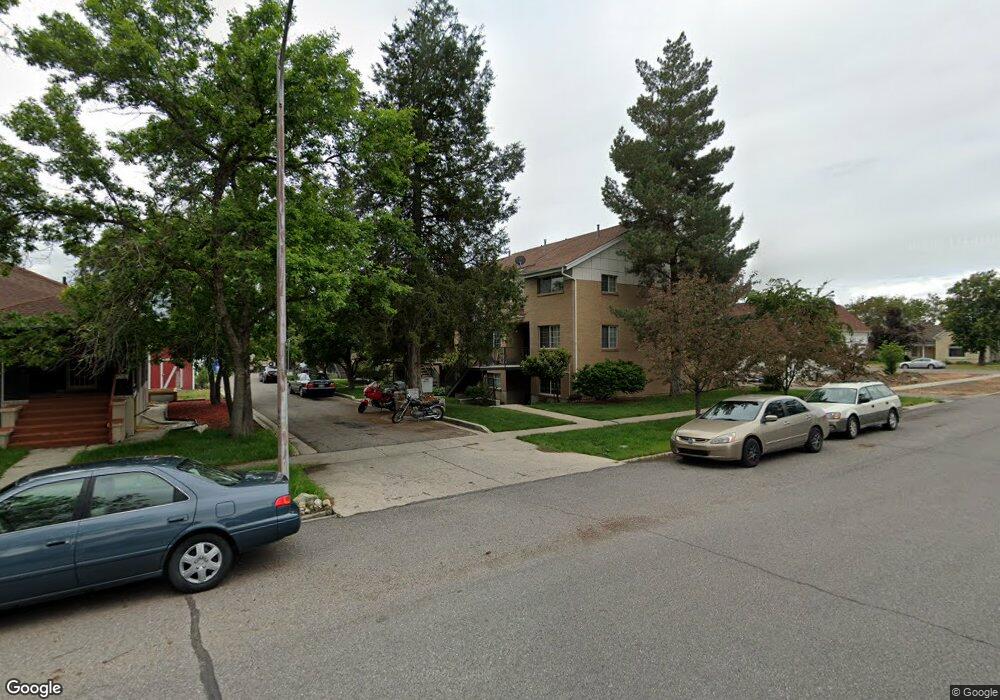
136 E 400 N Provo, UT 84606
Joaquin NeighborhoodEstimated Value: $301,000 - $326,000
2
Beds
2
Baths
800
Sq Ft
$388/Sq Ft
Est. Value
About This Home
This home is located at 136 E 400 N, Provo, UT 84606 and is currently estimated at $310,743, approximately $388 per square foot. 136 E 400 N is a home located in Utah County with nearby schools including Provo Peaks School, Centennial Middle School, and Timpview High School.
Ownership History
Date
Name
Owned For
Owner Type
Purchase Details
Closed on
Jan 14, 2026
Sold by
Wendelboe Family Llc
Bought by
Rennaker Jason
Current Estimated Value
Purchase Details
Closed on
Mar 21, 2019
Sold by
A M Enterprises Lc
Bought by
Wendelboe Family Llc
Purchase Details
Closed on
Feb 28, 2018
Sold by
Series 2 Llc
Bought by
Jackson Joshua C
Home Financials for this Owner
Home Financials are based on the most recent Mortgage that was taken out on this home.
Original Mortgage
$287,300
Interest Rate
4.04%
Mortgage Type
Purchase Money Mortgage
Purchase Details
Closed on
May 18, 2016
Sold by
A M Enterprises Lc
Bought by
Wendelboe Family Llc
Purchase Details
Closed on
Oct 13, 2009
Sold by
Heaston Derek R and Heaston Marissa C
Bought by
Am Enterprises Lc
Purchase Details
Closed on
Feb 6, 2006
Sold by
Heaston Anne B
Bought by
Heaston Derek R and Heaston Marissa C
Create a Home Valuation Report for This Property
The Home Valuation Report is an in-depth analysis detailing your home's value as well as a comparison with similar homes in the area
Home Values in the Area
Average Home Value in this Area
Purchase History
| Date | Buyer | Sale Price | Title Company |
|---|---|---|---|
| Rennaker Jason | -- | Access Title | |
| Wendelboe Family Llc | -- | Provo Land Title Co | |
| Jackson Joshua C | -- | Inwest Title | |
| Wendelboe Family Llc | -- | None Available | |
| Am Enterprises Lc | -- | Inwest Title Services Inc | |
| Heaston Derek R | -- | Fidelity Title |
Source: Public Records
Mortgage History
| Date | Status | Borrower | Loan Amount |
|---|---|---|---|
| Previous Owner | Jackson Joshua C | $287,300 |
Source: Public Records
Tax History
| Year | Tax Paid | Tax Assessment Tax Assessment Total Assessment is a certain percentage of the fair market value that is determined by local assessors to be the total taxable value of land and additions on the property. | Land | Improvement |
|---|---|---|---|---|
| 2025 | $1,632 | $159,940 | -- | -- |
| 2024 | $1,632 | $160,655 | $0 | $0 |
| 2023 | $1,715 | $166,430 | $0 | $0 |
| 2022 | $1,370 | $134,090 | $0 | $0 |
| 2021 | $1,152 | $196,600 | $23,600 | $173,000 |
| 2020 | $1,136 | $181,800 | $21,800 | $160,000 |
| 2019 | $989 | $164,500 | $20,000 | $144,500 |
| 2018 | $975 | $164,500 | $20,000 | $144,500 |
| 2017 | $848 | $78,650 | $0 | $0 |
| 2016 | $827 | $71,500 | $0 | $0 |
| 2015 | $717 | $62,645 | $0 | $0 |
| 2014 | $688 | $62,645 | $0 | $0 |
Source: Public Records
Map
Nearby Homes
- 136 E 400 N Unit 108
- 380 N 200 E
- 232 E 400 N
- 466 N 200 E
- 232 E 300 N
- 433 N 300 E
- 246 N 200 E
- 394 N 300 E
- 194 N 100 E
- 142 N 100 E
- 250 N 100 W Unit 109
- 261 N 400 E Unit 301
- 567 N University Ave Unit 209
- 639 N University Ave Unit 10
- 620 N 100 St W
- 80 N 200 E
- 69 E Center St
- 36 W 700 N Unit 206
- 386 N 500 E
- 364 N 500 E
Your Personal Tour Guide
Ask me questions while you tour the home.