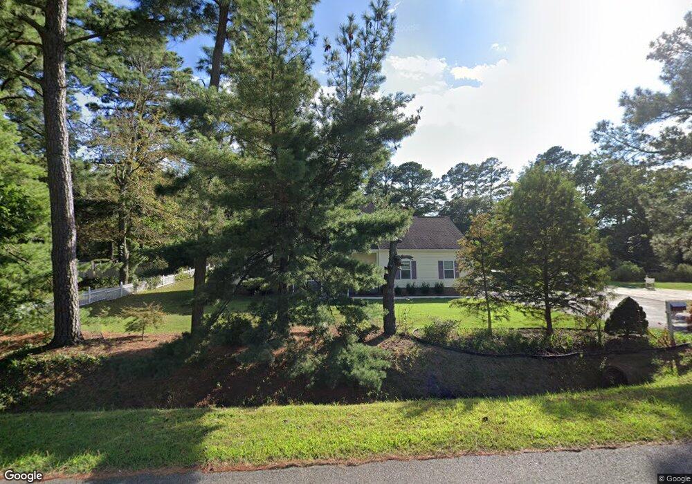
136 E Mercury Blvd Hampton, VA 23669
Phoebus NeighborhoodEstimated Value: $439,000 - $607,000
4
Beds
3
Baths
2,568
Sq Ft
$194/Sq Ft
Est. Value
About This Home
This home is located at 136 E Mercury Blvd, Hampton, VA 23669 and is currently estimated at $498,201, approximately $194 per square foot. 136 E Mercury Blvd is a home located in Hampton City with nearby schools including Capt. John Smith Elementary School, Benjamin Syms Middle School, and Kecoughtan High School.
Ownership History
Date
Name
Owned For
Owner Type
Purchase Details
Closed on
Oct 31, 2016
Sold by
Tran Cuong Duc
Bought by
Jackson Andrew E
Current Estimated Value
Home Financials for this Owner
Home Financials are based on the most recent Mortgage that was taken out on this home.
Original Mortgage
$318,000
Outstanding Balance
$255,941
Interest Rate
3.5%
Mortgage Type
VA
Estimated Equity
$242,260
Create a Home Valuation Report for This Property
The Home Valuation Report is an in-depth analysis detailing your home's value as well as a comparison with similar homes in the area
Home Values in the Area
Average Home Value in this Area
Purchase History
| Date | Buyer | Sale Price | Title Company |
|---|---|---|---|
| Jackson Andrew E | $318,000 | Attorney |
Source: Public Records
Mortgage History
| Date | Status | Borrower | Loan Amount |
|---|---|---|---|
| Open | Jackson Andrew E | $318,000 |
Source: Public Records
Tax History
| Year | Tax Paid | Tax Assessment Tax Assessment Total Assessment is a certain percentage of the fair market value that is determined by local assessors to be the total taxable value of land and additions on the property. | Land | Improvement |
|---|---|---|---|---|
| 2025 | $77 | $457,300 | $157,000 | $300,300 |
| 2024 | $5,274 | $458,600 | $157,000 | $301,600 |
| 2023 | $5,395 | $465,100 | $157,000 | $308,100 |
| 2022 | $4,728 | $400,700 | $141,300 | $259,400 |
| 2021 | $130 | $329,800 | $119,300 | $210,500 |
| 2020 | $3,799 | $306,400 | $119,300 | $187,100 |
| 2019 | $3,817 | $307,800 | $119,300 | $188,500 |
| 2018 | $2,103 | $312,700 | $119,300 | $193,400 |
| 2017 | $94 | $0 | $0 | $0 |
| 2016 | $3,971 | $312,700 | $0 | $0 |
| 2015 | $4,112 | $0 | $0 | $0 |
| 2014 | $3,995 | $315,400 | $119,300 | $196,100 |
Source: Public Records
Map
Nearby Homes
- 246 Dockside Dr Unit C
- 240 Dockside Dr Unit C
- 212 Dockside Dr Unit C
- 10 Westley Ct
- 124 Southerland Dr
- 122 Chichester Ave
- 20 Pine Cone Dr
- 221 Island Cove Ct Unit C
- 226 Island Cove Ct Unit C
- 10 Eberly Terrace
- 24 Saint Albans Dr
- 54 Mohawk Rd
- 55 Calhoun St
- 51 Calhoun St
- 138 Eberly Terrace
- 720 River St
- 1002 E Pembroke Ave
- 439 Cooper St
- 38 Saint Albans Dr
- 433 Cooper St
- 140 E Mercury Blvd
- 101 Boxwood Point Rd
- 1 Kings Point Dr
- 135 E Mercury Blvd
- 2 Boxwood Point Rd
- 3 Boxwood Point Rd
- 144 E Mercury Blvd
- 98 Boxwood Point Rd
- 1 Fulton Farm Rd
- 3 Kings Point Dr
- 2 Kings Landing Ln
- 131 E Mercury Blvd
- 99 Boxwood Point Rd
- 4 Kings Landing Ln
- 3 Fulton Farm Rd
- 5 Kings Point Dr
- 1 Boxwood Point Rd
- 148 E Mercury Blvd
- 6 Kings Landing Ln
- 1 Kings Landing Ln
Your Personal Tour Guide
Ask me questions while you tour the home.