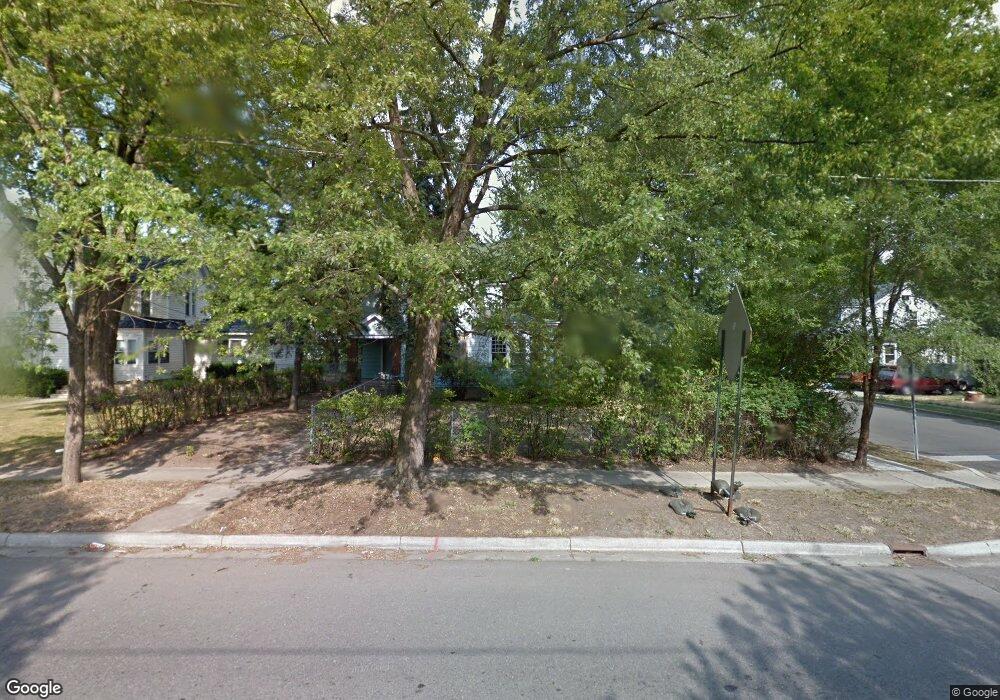
136 Fremont St Battle Creek, MI 49017
Northeast Battle Creek NeighborhoodEstimated Value: $137,000
--
Bed
--
Bath
--
Sq Ft
8,364
Sq Ft Lot
About This Home
This home is located at 136 Fremont St, Battle Creek, MI 49017 and is currently priced at $137,000. 136 Fremont St is a home located in Calhoun County with nearby schools including Northwestern Middle School, Battle Creek Central High School, and St. Philip Catholic Central High School.
Ownership History
Date
Name
Owned For
Owner Type
Purchase Details
Closed on
Jul 8, 2015
Sold by
Ayres Tony J and Ayres Theresa M
Bought by
Chapman Tammy Lynn and Chapman John E
Current Estimated Value
Purchase Details
Closed on
Nov 5, 2014
Sold by
Calhoun County Land Bank Authority
Bought by
Ayres Tony J and Ayers Theresa M
Purchase Details
Closed on
Dec 14, 2012
Sold by
Calhoun County Treasurer
Bought by
The Calhoun County Land Bank Authority
Purchase Details
Closed on
Jan 24, 2008
Sold by
Battle Creek Area Habitat For Humanity
Bought by
Boyle Robert
Purchase Details
Closed on
Aug 16, 2007
Sold by
Pratt Charles A
Bought by
Battle Creek Area Habitat Humanity Inc
Create a Home Valuation Report for This Property
The Home Valuation Report is an in-depth analysis detailing your home's value as well as a comparison with similar homes in the area
Home Values in the Area
Average Home Value in this Area
Purchase History
| Date | Buyer | Sale Price | Title Company |
|---|---|---|---|
| Chapman Tammy Lynn | $51,500 | Chicago Title | |
| Ayres Tony J | $200 | None Available | |
| The Calhoun County Land Bank Authority | -- | None Available | |
| Boyle Robert | $70,000 | None Available | |
| Battle Creek Area Habitat Humanity Inc | -- | None Available |
Source: Public Records
Tax History Compared to Growth
Tax History
| Year | Tax Paid | Tax Assessment Tax Assessment Total Assessment is a certain percentage of the fair market value that is determined by local assessors to be the total taxable value of land and additions on the property. | Land | Improvement |
|---|---|---|---|---|
| 2023 | $67 | $0 | $0 | $0 |
| 2022 | $55 | $1,619 | $0 | $0 |
| 2021 | $73 | $1,133 | $0 | $0 |
| 2020 | $0 | $1,133 | $0 | $0 |
| 2019 | $82 | $1,133 | $0 | $0 |
| 2018 | $82 | $1,133 | $1,133 | $0 |
| 2017 | $104 | $1,619 | $0 | $0 |
| 2016 | $104 | $1,619 | $0 | $0 |
| 2015 | -- | $1,619 | $0 | $0 |
| 2014 | -- | $3,111 | $3,111 | $0 |
Source: Public Records
Map
Nearby Homes
- 19 Central St
- 45 Central St
- 114 Fremont St
- 105 Chestnut St
- 323 Garfield Ave
- 192 Fremont St
- 78 Central St
- 91 Sherman Rd
- 61 Rose St
- 51 Latta St
- 162 Calhoun St
- 273 Garfield Ave
- 119 Calhoun St
- 122 North Ave
- 31 Orchard Place
- 25 Orchard Place
- 266 North Ave
- 170 Sherman Rd
- 286 Capital Ave NE
- 261 Emmett St E