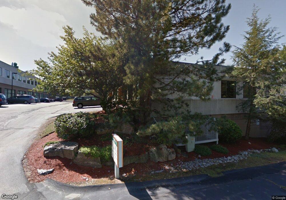
136 Harvey Rd Londonderry, NH 03053
Estimated Value: $3,890,412
--
Bed
--
Bath
--
Sq Ft
3.6
Acres
About This Home
This home is located at 136 Harvey Rd, Londonderry, NH 03053 and is currently estimated at $3,890,412. 136 Harvey Rd is a home located in Rockingham County with nearby schools including North Londonderry Elementary School, Londonderry Middle School, and Londonderry Senior High School.
Ownership History
Date
Name
Owned For
Owner Type
Purchase Details
Closed on
Apr 16, 2024
Sold by
Woodhaven Lp
Bought by
Hbc Llc
Current Estimated Value
Home Financials for this Owner
Home Financials are based on the most recent Mortgage that was taken out on this home.
Original Mortgage
$2,760,000
Outstanding Balance
$2,718,761
Interest Rate
6.88%
Mortgage Type
Purchase Money Mortgage
Estimated Equity
$1,171,651
Purchase Details
Closed on
Jun 6, 2001
Sold by
Woodhaven Lp
Bought by
Micro-Metrics Inc
Create a Home Valuation Report for This Property
The Home Valuation Report is an in-depth analysis detailing your home's value as well as a comparison with similar homes in the area
Home Values in the Area
Average Home Value in this Area
Purchase History
| Date | Buyer | Sale Price | Title Company |
|---|---|---|---|
| Hbc Llc | $3,600,000 | None Available | |
| Hbc Llc | $3,600,000 | None Available | |
| Micro-Metrics Inc | $50,000 | -- |
Source: Public Records
Mortgage History
| Date | Status | Borrower | Loan Amount |
|---|---|---|---|
| Open | Hbc Llc | $2,760,000 | |
| Closed | Hbc Llc | $2,760,000 | |
| Previous Owner | Micro-Metrics Inc | $1,800,000 |
Source: Public Records
Tax History Compared to Growth
Tax History
| Year | Tax Paid | Tax Assessment Tax Assessment Total Assessment is a certain percentage of the fair market value that is determined by local assessors to be the total taxable value of land and additions on the property. | Land | Improvement |
|---|---|---|---|---|
| 2024 | $49,921 | $3,093,000 | $1,043,700 | $2,049,300 |
| 2023 | $48,405 | $3,093,000 | $1,043,700 | $2,049,300 |
| 2022 | $53,233 | $2,880,600 | $782,800 | $2,097,800 |
| 2021 | $52,945 | $2,880,600 | $782,800 | $2,097,800 |
| 2020 | $7,113 | $2,784,400 | $933,200 | $1,851,200 |
| 2019 | $53,990 | $2,784,400 | $933,200 | $1,851,200 |
| 2018 | $5,951 | $2,363,100 | $646,000 | $1,717,100 |
| 2017 | $51,067 | $2,363,100 | $646,000 | $1,717,100 |
| 2016 | $50,598 | $2,353,400 | $646,000 | $1,707,400 |
| 2015 | $49,468 | $2,353,400 | $646,000 | $1,707,400 |
| 2014 | $49,633 | $2,353,400 | $646,000 | $1,707,400 |
| 2011 | -- | $1,850,000 | $495,300 | $1,354,700 |
Source: Public Records
Map
Nearby Homes
- 5 Webster Rd
- 10100 S Willow St Unit 214
- 10100 S Willow St Unit 303
- 10100 S Willow St Unit 209
- 10100 S Willow St Unit 212
- 10100 S Willow St Unit 105
- lot 719-1 & 2 Sheffield Rd
- 1029 S Mammoth Rd Unit 28
- 8 Barksdale Ave
- 3670 Old Brown Ave
- 3 Hunter Blvd
- 18 Hunter Blvd
- 4243 Brown Ave
- 15 Harvey Rd
- 491 Mammoth Rd Unit 26
- 57 Dixwell St
- 90 Forest Hill Way Unit 52
- 395 Brent St
- 30 Bryant Rd
- 107 Litchfield Rd
- 136 Harvey Rd Unit B008-10
- 136 Harvey Rd Unit A004-5
- 136 Harvey Rd Unit A006
- 136 Harvey Rd Unit A-102-104
- 136 Harvey Rd Unit A101
- 136 Harvey Rd Unit A107
- 136 Harvey Rd Unit UNI A107 - Office 2
- 136 Harvey Rd Unit B001-003
- 136 Harvey Rd Unit B105-108
- 136 Harvey Rd Unit B-005-007
- 136 Harvey Rd Unit A-106
- 136 Harvey Rd Unit B101-110
- 140A Harvey Rd
- 4 Webster Ln
- 8 Ricker Ave
- 5 Ricker Ave
- 6A Kitty Hawk Landing
- 10 Tinker Ave
- 10 Tinker Ave Unit H
- 148 Harvey Rd