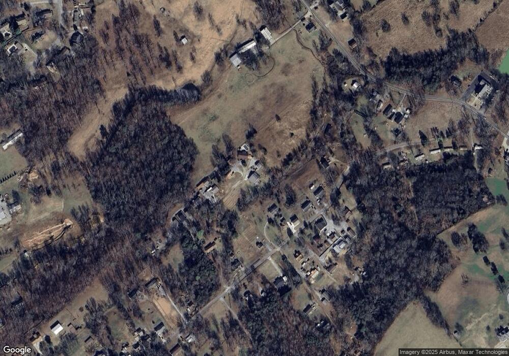
136 Hutsell Hill Way Maryville, TN 37803
Estimated Value: $487,171 - $627,000
4
Beds
3
Baths
3,525
Sq Ft
$153/Sq Ft
Est. Value
About This Home
This home is located at 136 Hutsell Hill Way, Maryville, TN 37803 and is currently estimated at $539,543, approximately $153 per square foot. 136 Hutsell Hill Way is a home located in Blount County with nearby schools including Montvale Elementary School, Heritage Middle School, and Heritage High School.
Ownership History
Date
Name
Owned For
Owner Type
Purchase Details
Closed on
Jan 26, 2005
Sold by
Colvin James H
Bought by
Waters Melanie D and Waters Andy
Current Estimated Value
Home Financials for this Owner
Home Financials are based on the most recent Mortgage that was taken out on this home.
Original Mortgage
$185,600
Outstanding Balance
$92,900
Interest Rate
5.62%
Estimated Equity
$446,643
Purchase Details
Closed on
Jan 25, 2005
Sold by
Covin James
Bought by
Waters Melanie D
Home Financials for this Owner
Home Financials are based on the most recent Mortgage that was taken out on this home.
Original Mortgage
$185,600
Outstanding Balance
$92,900
Interest Rate
5.62%
Estimated Equity
$446,643
Purchase Details
Closed on
Oct 31, 2003
Bought by
Colvin James H
Purchase Details
Closed on
Aug 11, 1988
Bought by
Casey Sandra Kaye and Kenneth Lee
Purchase Details
Closed on
Jul 5, 1978
Bought by
Hutsell William C
Create a Home Valuation Report for This Property
The Home Valuation Report is an in-depth analysis detailing your home's value as well as a comparison with similar homes in the area
Home Values in the Area
Average Home Value in this Area
Purchase History
| Date | Buyer | Sale Price | Title Company |
|---|---|---|---|
| Waters Melanie D | $232,000 | -- | |
| Waters Melanie D | $232,000 | -- | |
| Colvin James H | $150,000 | -- | |
| Casey Sandra Kaye | $5,800 | -- | |
| Hutsell William C | -- | -- |
Source: Public Records
Mortgage History
| Date | Status | Borrower | Loan Amount |
|---|---|---|---|
| Open | Hutsell William C | $185,600 | |
| Closed | Hutsell William C | $185,600 |
Source: Public Records
Tax History Compared to Growth
Tax History
| Year | Tax Paid | Tax Assessment Tax Assessment Total Assessment is a certain percentage of the fair market value that is determined by local assessors to be the total taxable value of land and additions on the property. | Land | Improvement |
|---|---|---|---|---|
| 2025 | $1,407 | $88,475 | $0 | $0 |
| 2024 | $1,407 | $88,475 | $9,500 | $78,975 |
| 2023 | $1,407 | $88,475 | $9,500 | $78,975 |
| 2022 | $1,183 | $47,875 | $5,325 | $42,550 |
| 2021 | $1,183 | $47,875 | $5,325 | $42,550 |
| 2020 | $1,183 | $47,875 | $5,325 | $42,550 |
| 2019 | $1,183 | $47,875 | $5,325 | $42,550 |
| 2018 | $1,062 | $43,000 | $4,700 | $38,300 |
| 2017 | $1,062 | $43,000 | $4,700 | $38,300 |
| 2016 | $1,062 | $43,000 | $4,700 | $38,300 |
| 2015 | $925 | $43,000 | $4,700 | $38,300 |
| 2014 | $938 | $43,000 | $4,700 | $38,300 |
| 2013 | $938 | $43,625 | $0 | $0 |
Source: Public Records
Map
Nearby Homes
- 2322 Chesterfield Dr
- 102 Milligan Rd
- 310 Meredith Ct
- 209 Ridge Rd
- Lot 1 Stone Dr
- 2721 Raylee Dr
- 2130 Leah Ln
- 2646 New Blockhouse Rd
- 308 Ross Springs Dr
- 1828 Wilkinson Pike
- 1733 Forster St
- 168 Misty Mountain Dr
- 424 Ross Springs Dr
- 1519 McIlvaine Dr
- 1613 McIlvaine Dr
- 105 Chaucer Cir
- 1503 Roxy Ln
- 2920 Silver Brook Ln
- 2110 Farris Rd
- 1621 Lisa Dr
- 137 Hutsell Hill Way
- 235 Memorial Dr
- 127 Hutsell Hill Way
- 237 Memorial Dr
- 305 Memorial Dr
- 307 Memorial Dr
- 225 Memorial Dr
- 313 Memorial Dr
- 302 Memorial Dr
- 117 Hutsell Hill Way
- 238 Memorial Dr
- 0 Memorial Dr
- 110 Hutsell Hill Way
- 306 Memorial Dr
- 224 Memorial Dr
- 2317 Wilkinson Pike Unit 2321
- 244 Memorial Dr
- 242 Memorial Dr
- 216 Memorial Dr
- 228 Memorial Dr
