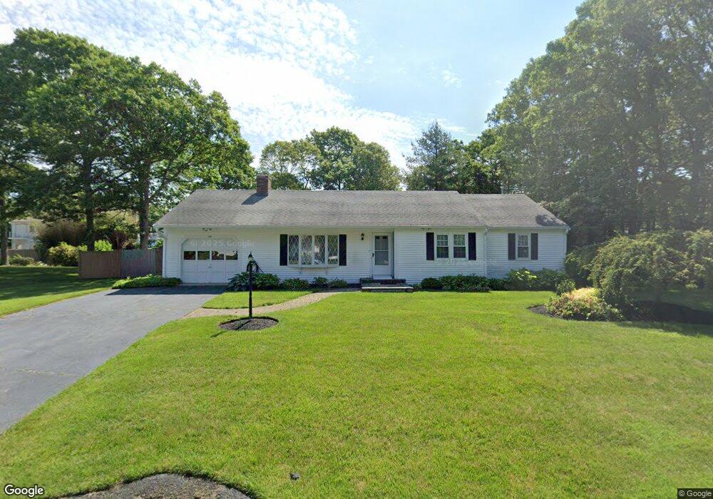
136 James Otis Rd Centerville, MA 02632
Centerville NeighborhoodEstimated Value: $623,034 - $653,000
3
Beds
2
Baths
1,428
Sq Ft
$447/Sq Ft
Est. Value
About This Home
This home is located at 136 James Otis Rd, Centerville, MA 02632 and is currently estimated at $638,259, approximately $446 per square foot. 136 James Otis Rd is a home located in Barnstable County with nearby schools including West Villages Elementary School, Barnstable United Elementary School, and Barnstable Intermediate School.
Ownership History
Date
Name
Owned For
Owner Type
Purchase Details
Closed on
Nov 19, 2024
Sold by
Kaplan Alan F
Bought by
Alan F Kaplan Ret and Kaplan
Current Estimated Value
Purchase Details
Closed on
Mar 7, 2003
Sold by
Kaplan Howard and Kaplan Elaine
Bought by
Kaplan Alan K
Purchase Details
Closed on
Oct 30, 1990
Sold by
Eileen T Est Stewart
Bought by
Kaplan Howard
Home Financials for this Owner
Home Financials are based on the most recent Mortgage that was taken out on this home.
Original Mortgage
$125,000
Interest Rate
10.08%
Mortgage Type
Purchase Money Mortgage
Create a Home Valuation Report for This Property
The Home Valuation Report is an in-depth analysis detailing your home's value as well as a comparison with similar homes in the area
Home Values in the Area
Average Home Value in this Area
Purchase History
| Date | Buyer | Sale Price | Title Company |
|---|---|---|---|
| Alan F Kaplan Ret | -- | None Available | |
| Alan F Kaplan Ret | -- | None Available | |
| Kaplan Alan K | $210,000 | -- | |
| Kaplan Alan K | $210,000 | -- | |
| Kaplan Howard | $163,000 | -- |
Source: Public Records
Mortgage History
| Date | Status | Borrower | Loan Amount |
|---|---|---|---|
| Previous Owner | Kaplan Howard | $80,000 | |
| Previous Owner | Kaplan Howard | $107,000 | |
| Previous Owner | Kaplan Howard | $115,000 | |
| Previous Owner | Kaplan Howard | $125,000 |
Source: Public Records
Tax History Compared to Growth
Tax History
| Year | Tax Paid | Tax Assessment Tax Assessment Total Assessment is a certain percentage of the fair market value that is determined by local assessors to be the total taxable value of land and additions on the property. | Land | Improvement |
|---|---|---|---|---|
| 2025 | $4,914 | $607,400 | $153,200 | $454,200 |
| 2024 | $4,712 | $603,300 | $153,200 | $450,100 |
| 2023 | $4,408 | $528,500 | $139,300 | $389,200 |
| 2022 | $4,251 | $441,000 | $103,200 | $337,800 |
| 2021 | $4,024 | $383,600 | $103,200 | $280,400 |
| 2020 | $4,198 | $383,000 | $103,200 | $279,800 |
| 2019 | $3,989 | $353,600 | $103,200 | $250,400 |
| 2018 | $3,559 | $317,200 | $108,600 | $208,600 |
| 2017 | $3,305 | $307,200 | $108,600 | $198,600 |
| 2016 | $3,358 | $308,100 | $109,500 | $198,600 |
| 2015 | $3,137 | $289,100 | $106,400 | $182,700 |
Source: Public Records
Map
Nearby Homes
- 205 James Otis Rd
- 21 Shannon Way
- 16 Bridgets Path
- 315 Prince Hinckley Rd
- 81 Monomoy Cir
- 296 Buckskin Path
- 900 Old Stage Rd
- 87 Foxglove Rd
- 7 Ebenezer
- 53 Meadow Farm Rd
- 52 Meadow Farm Rd
- 149 Old Stage Rd
- 1028 Old Falmouth Rd
- 1044 Old Falmouth Rd
- 62 Three Ponds Dr
- 73 Tern Ln
- 66 Tern Ln
- 44 Avalon Cir
- 139 Falling Leaf Ln
- 148 James Otis Rd
- 126 James Otis Rd
- 91 Zeno Crocker Rd
- 77 Zeno Crocker Rd
- 109 Zeno Crocker Rd
- 135 James Otis Rd
- 153 James Otis Rd
- 125 James Otis Rd
- 156 James Otis Rd
- 110 James Otis Rd
- 121 Zeno Crocker Rd
- 115 James Otis Rd
- 78 Zeno Crocker Rd
- 92 Zeno Crocker Rd
- 63 Zeno Crocker Rd
- 102 Zeno Crocker Rd
- 452 Prince Hinckley Rd
- 464 Prince Hinckley Rd
- 167 James Otis Rd
- 133 Zeno Crocker Rd