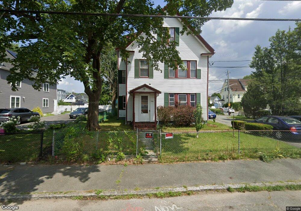
136 Laureston St Unit 1 Brockton, MA 02301
Clifton Heights NeighborhoodEstimated Value: $260,000 - $364,000
3
Beds
2
Baths
1,010
Sq Ft
$311/Sq Ft
Est. Value
About This Home
This home is located at 136 Laureston St Unit 1, Brockton, MA 02301 and is currently estimated at $314,220, approximately $311 per square foot. 136 Laureston St Unit 1 is a home located in Plymouth County with nearby schools including John F. Kennedy Elementary School, Davis K-8 School, and South Middle School.
Ownership History
Date
Name
Owned For
Owner Type
Purchase Details
Closed on
Jun 12, 2015
Sold by
Taylor Mitchell
Bought by
Goncalves Jose E and Goncalves Maria M
Current Estimated Value
Purchase Details
Closed on
Oct 19, 2009
Sold by
Liquidation Prop Inc
Bought by
Taylor Mitchell
Purchase Details
Closed on
Jun 9, 2009
Sold by
Deus Cherline and Citigroup Global Mkt C
Bought by
Liquidation Prop Inc
Create a Home Valuation Report for This Property
The Home Valuation Report is an in-depth analysis detailing your home's value as well as a comparison with similar homes in the area
Home Values in the Area
Average Home Value in this Area
Purchase History
| Date | Buyer | Sale Price | Title Company |
|---|---|---|---|
| Goncalves Jose E | $74,000 | -- | |
| Taylor Mitchell | $52,500 | -- | |
| Liquidation Prop Inc | $77,200 | -- |
Source: Public Records
Tax History Compared to Growth
Tax History
| Year | Tax Paid | Tax Assessment Tax Assessment Total Assessment is a certain percentage of the fair market value that is determined by local assessors to be the total taxable value of land and additions on the property. | Land | Improvement |
|---|---|---|---|---|
| 2025 | $2,013 | $166,200 | $0 | $166,200 |
| 2024 | $2,082 | $173,200 | $0 | $173,200 |
| 2023 | $1,802 | $138,800 | $0 | $138,800 |
| 2022 | $1,685 | $120,600 | $0 | $120,600 |
| 2021 | $1,273 | $87,800 | $0 | $87,800 |
| 2020 | $1,510 | $99,700 | $0 | $99,700 |
| 2019 | $1,361 | $87,600 | $0 | $87,600 |
| 2018 | $1,150 | $73,900 | $0 | $73,900 |
| 2017 | $1,150 | $71,400 | $0 | $71,400 |
| 2016 | $1,064 | $61,310 | $0 | $61,310 |
| 2015 | -- | $55,370 | $0 | $55,370 |
| 2014 | $956 | $52,730 | $0 | $52,730 |
Source: Public Records
Map
Nearby Homes
- 936 Warren Ave
- 99 Tribou St Unit 6
- 977 Warren Ave
- 16 Hancock St
- 29 Hancock St
- 15 1st St
- 103 Clinton St
- 18 Florence St
- 65 Tremont St
- 61 Myrtle St
- 20 Custer St
- 99 Grove St
- 23 Foster St
- 223 Clinton St Unit 10
- 223 Clinton St Unit 3
- 115 Market St
- 137 Channing Ave
- 184 Myrtle St
- 228 Forest Ave
- 153 Bouve Ave
- 136 Laureston St Unit 2
- 136 Laureston St
- 130 Laureston St
- 51 Nilsson St
- 31 Nilsson St
- 129 Laureston St
- 124 Laureston St
- 53 Nilsson St
- 25 Nilsson St
- 25 Nilsson St Unit 3
- 25 Nilsson St Unit 2
- 48 Nilsson St
- 123 Laureston St
- 35 Denton St
- 122 Laureston St
- 150 Laureston St
- 52 Nilsson St
- 52 Nilsson St Unit 1
- 120 Laureston St
- 29 Denton St