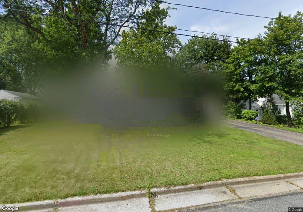
136 Leland Dr N Battle Creek, MI 49015
Minges Brook Riverside NeighborhoodEstimated Value: $203,000 - $232,445
3
Beds
2
Baths
1,306
Sq Ft
$169/Sq Ft
Est. Value
About This Home
This home is located at 136 Leland Dr N, Battle Creek, MI 49015 and is currently estimated at $220,361, approximately $168 per square foot. 136 Leland Dr N is a home located in Calhoun County with nearby schools including Lakeview Middle School, Lakeview High School, and Arbor Academy.
Ownership History
Date
Name
Owned For
Owner Type
Purchase Details
Closed on
Dec 19, 2011
Sold by
Phipps Delvin L and Phipps Cheryl R
Bought by
Misner Sara T
Current Estimated Value
Home Financials for this Owner
Home Financials are based on the most recent Mortgage that was taken out on this home.
Original Mortgage
$75,048
Outstanding Balance
$51,926
Interest Rate
4.25%
Mortgage Type
FHA
Estimated Equity
$168,435
Create a Home Valuation Report for This Property
The Home Valuation Report is an in-depth analysis detailing your home's value as well as a comparison with similar homes in the area
Home Values in the Area
Average Home Value in this Area
Purchase History
| Date | Buyer | Sale Price | Title Company |
|---|---|---|---|
| Misner Sara T | $77,000 | Chicago Title |
Source: Public Records
Mortgage History
| Date | Status | Borrower | Loan Amount |
|---|---|---|---|
| Open | Misner Sara T | $75,048 |
Source: Public Records
Tax History Compared to Growth
Tax History
| Year | Tax Paid | Tax Assessment Tax Assessment Total Assessment is a certain percentage of the fair market value that is determined by local assessors to be the total taxable value of land and additions on the property. | Land | Improvement |
|---|---|---|---|---|
| 2025 | -- | $117,300 | $0 | $0 |
| 2024 | $2,469 | $108,734 | $0 | $0 |
| 2023 | $2,812 | $95,209 | $0 | $0 |
| 2022 | $2,230 | $83,988 | $0 | $0 |
| 2021 | $2,738 | $79,424 | $0 | $0 |
| 2020 | $2,710 | $72,689 | $0 | $0 |
| 2019 | $2,566 | $73,733 | $0 | $0 |
| 2018 | $2,566 | $72,439 | $5,537 | $66,902 |
| 2017 | $2,488 | $68,269 | $0 | $0 |
| 2016 | $2,483 | $62,448 | $0 | $0 |
| 2015 | $2,310 | $53,198 | $6,386 | $46,812 |
| 2014 | $2,310 | $51,655 | $6,386 | $45,269 |
Source: Public Records
Map
Nearby Homes
- 32 Golden Ave
- 239 Brewer Dr S
- 112 Darragh Dr
- 20 Hiawatha Dr
- 1 Hiawatha Cove Trail Unit 23
- 582 Riverside Dr
- 225 Columbia Ave W Unit 2
- 77 Leitch Dr
- 52 E Acacia Blvd
- 251 Columbia Ave W Unit 1
- 245 Columbia Ave E
- 329 Surby Ave
- 348 Lakeview Ave
- 1116 Lakeside Dr S
- 137 Fairfield Ave
- 1 Grand Blvd
- 32 Territorial Rd E
- V/L Riverside Dr
- 117 Meadow Dr
- 235 Fairfield Ave
- 140 Leland Dr N
- 130 Leland Dr N
- 139 Brewer Dr
- 133 Brewer Dr
- 144 Leland Dr N
- 124 Leland Dr N
- 139 S Brewer Dr
- 139 Brewer Dr
- 129 Brewer Dr
- 141 Brewer Dr
- 141 Brewer Dr
- 137 Leland Dr N
- 133 Leland Dr N
- 141 Leland Dr N
- 125 Brewer Dr
- 120 Leland Dr N
- 129 Leland Dr N
- 145 Brewer Dr
- 152 Leland Dr N
- 129 N Brewer Dr