Estimated Value: $702,346 - $870,000
5
Beds
4
Baths
3,083
Sq Ft
$256/Sq Ft
Est. Value
About This Home
This home is located at 136 Lupine Ln, Wells, ME 04090 and is currently estimated at $787,837, approximately $255 per square foot. 136 Lupine Ln is a home located in York County with nearby schools including Wells Junior High School, Wells Elementary School, and Wells High School.
Ownership History
Date
Name
Owned For
Owner Type
Purchase Details
Closed on
Mar 30, 2017
Sold by
Moody Peter B and Moody Glenis D
Bought by
Moody Peter B and Moody Judith A
Current Estimated Value
Purchase Details
Closed on
Dec 13, 2016
Sold by
Moody Peter B and Moody Glenis D
Bought by
Moody Peter
Purchase Details
Closed on
Apr 28, 2014
Sold by
White Patricia A
Bought by
Mcdonald Catherine
Home Financials for this Owner
Home Financials are based on the most recent Mortgage that was taken out on this home.
Original Mortgage
$186,304
Interest Rate
4.36%
Mortgage Type
FHA
Create a Home Valuation Report for This Property
The Home Valuation Report is an in-depth analysis detailing your home's value as well as a comparison with similar homes in the area
Home Values in the Area
Average Home Value in this Area
Purchase History
| Date | Buyer | Sale Price | Title Company |
|---|---|---|---|
| Moody Peter B | -- | -- | |
| Moody Peter | -- | -- | |
| Mcdonald Catherine | -- | -- |
Source: Public Records
Mortgage History
| Date | Status | Borrower | Loan Amount |
|---|---|---|---|
| Closed | Mcdonald Catherine | $186,304 |
Source: Public Records
Tax History Compared to Growth
Tax History
| Year | Tax Paid | Tax Assessment Tax Assessment Total Assessment is a certain percentage of the fair market value that is determined by local assessors to be the total taxable value of land and additions on the property. | Land | Improvement |
|---|---|---|---|---|
| 2024 | $3,666 | $602,930 | $124,390 | $478,540 |
| 2023 | $3,593 | $602,930 | $124,390 | $478,540 |
| 2022 | $3,079 | $294,400 | $56,500 | $237,900 |
| 2021 | $3,097 | $294,400 | $56,500 | $237,900 |
| 2020 | $3,068 | $292,770 | $56,500 | $236,270 |
| 2019 | $3,051 | $292,770 | $56,500 | $236,270 |
| 2018 | $3,021 | $292,770 | $56,500 | $236,270 |
| 2017 | $2,952 | $290,550 | $56,500 | $234,050 |
| 2016 | $2,923 | $290,550 | $56,500 | $234,050 |
| 2015 | $2,891 | $290,550 | $56,500 | $234,050 |
| 2013 | $2,650 | $290,550 | $56,500 | $234,050 |
Source: Public Records
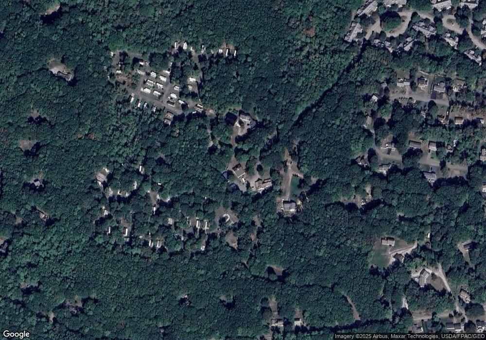
Map
Nearby Homes
- 191 Tatnic Rd Unit 73
- 53 Spinnaker Ridge Dr Unit 8
- Lot 2 Maling Ln
- 173 Emerson Dr
- 31 Rebecca Rd
- 64 Old Kings Hwy
- 32 Queens Way
- 32 Tatnic Rd
- 56 Kings Hwy
- 76 Post Rd Unit 17M &18M
- 9 Bourne Ave Unit B6
- 9 Bourne Ave Unit P-22
- 718 Main St Unit A3
- 12 Whiporwill Dr
- 1 Old County Rd Unit 702
- 1 Old County Rd Unit 165
- 1 Old County Rd Unit 132
- 15 Blanchard St
- 25 Sawmill Ln
- 412 Post Rd Unit 304
- 136 Lupine Ln
- 122 Lupine Ln
- 191 Tatnic Rd
- 191 Tatnic Rd Unit 82
- 191 Tatnic Rd Unit 76
- 191 Tatnic Rd Unit 45B
- 191 Tatnic Rd Unit 94
- 191 Tatnic Rd Unit 60
- 191 Tatnic Rd Unit 97
- 191 Tatnic Rd Unit 83
- 191 Tatnic Rd Unit 87
- 191 Tatnic Rd Unit 40
- 191 Tatnic Rd Unit 34
- 191 Tatnic Rd Unit 16
- 191 Tatnic Rd Unit 68
- 191 Tatnic Rd Unit 42
- 159 Lupine Ln
- 96 Lupine Ln
- 141 Royal Heights
- 80 Lupine Ln