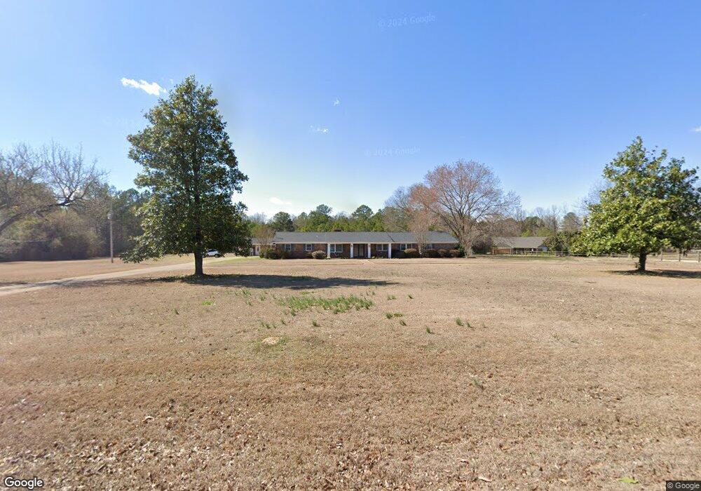
136 Mac Davis Rd Columbus, MS 39702
Estimated Value: $299,000 - $372,000
Studio
--
Bath
3,719
Sq Ft
$89/Sq Ft
Est. Value
About This Home
This home is located at 136 Mac Davis Rd, Columbus, MS 39702 and is currently estimated at $331,408, approximately $89 per square foot. 136 Mac Davis Rd is a home with nearby schools including Victory Christian Academy.
Ownership History
Date
Name
Owned For
Owner Type
Purchase Details
Closed on
Oct 29, 2024
Sold by
Ellis Stephen F and Ellis Elizabeth K
Bought by
Edwards Brenda
Current Estimated Value
Purchase Details
Closed on
Aug 7, 2024
Sold by
Mahoney Richard L and Mahoney Martha Virginia
Bought by
Ellis Stephen F and Ellis Elizabeth K
Create a Home Valuation Report for This Property
The Home Valuation Report is an in-depth analysis detailing your home's value as well as a comparison with similar homes in the area
Purchase History
| Date | Buyer | Sale Price | Title Company |
|---|---|---|---|
| Edwards Brenda | -- | None Listed On Document | |
| Ellis Stephen F | -- | None Listed On Document |
Source: Public Records
Tax History
| Year | Tax Paid | Tax Assessment Tax Assessment Total Assessment is a certain percentage of the fair market value that is determined by local assessors to be the total taxable value of land and additions on the property. | Land | Improvement |
|---|---|---|---|---|
| 2025 | $1,095 | $20,921 | $0 | $0 |
| 2024 | $1,086 | $20,921 | $0 | $0 |
| 2023 | $1,082 | $18,697 | $0 | $0 |
| 2022 | $1,072 | $18,582 | $0 | $0 |
| 2021 | $1,431 | $18,582 | $0 | $0 |
| 2020 | $1,336 | $18,582 | $0 | $0 |
| 2019 | $1,420 | $18,508 | $0 | $0 |
| 2018 | $1,420 | $18,962 | $0 | $0 |
| 2017 | $1,344 | $18,962 | $0 | $0 |
| 2016 | $1,344 | $18,962 | $0 | $0 |
| 2015 | $1,380 | $19,374 | $0 | $0 |
| 2014 | $1,380 | $19,374 | $0 | $0 |
Source: Public Records
Map
Nearby Homes
- 83 Bowling Green Cir
- 2746 Phillips Hill Rd
- 127 E Cherry St
- 72 N Colby Ln
- 72 Colby Ln
- Lot 3 Lost Lake Hills Rd
- 0 Lost Lake Hills Rd
- 291 Muddy Ln
- 24 Lacy Rd
- 2362 Tabernacle Rd
- 0 Hwy Us-82
- 220 Woodridge Place
- 159 Lenox Ln
- 142 Lenox Ln
- 29 Lenox Ln
- 0 Fiesta Dr
- 406 Pleasant Hill Rd
- 7014 Highway 50 E
- 16 Jenny Ln
- 248 Lakeover Dr W
- 200 Mac Davis Rd
- 94 Mac Davis Rd
- 96 Mac Davis Rd
- 74 Mac Davis Rd
- 167 Mac Davis Rd
- 8420 Highway 182 E
- 8396 Highway 182 E
- 8482 Highway 182 E
- 219 Mac Davis Rd
- 318 Mac Davis Rd
- 8452 Highway 182 E
- 8214 Highway 182 E
- 65 Herrick Ln
- 331 Mac Davis Rd
- 102 Cole Rd
- 159 Herrick Ln
- 8060 Highway 182 E
- 8199 Highway 182 E
- 68 Beck Dr
- 389 Mac Davis Rd
Your Personal Tour Guide
Ask me questions while you tour the home.