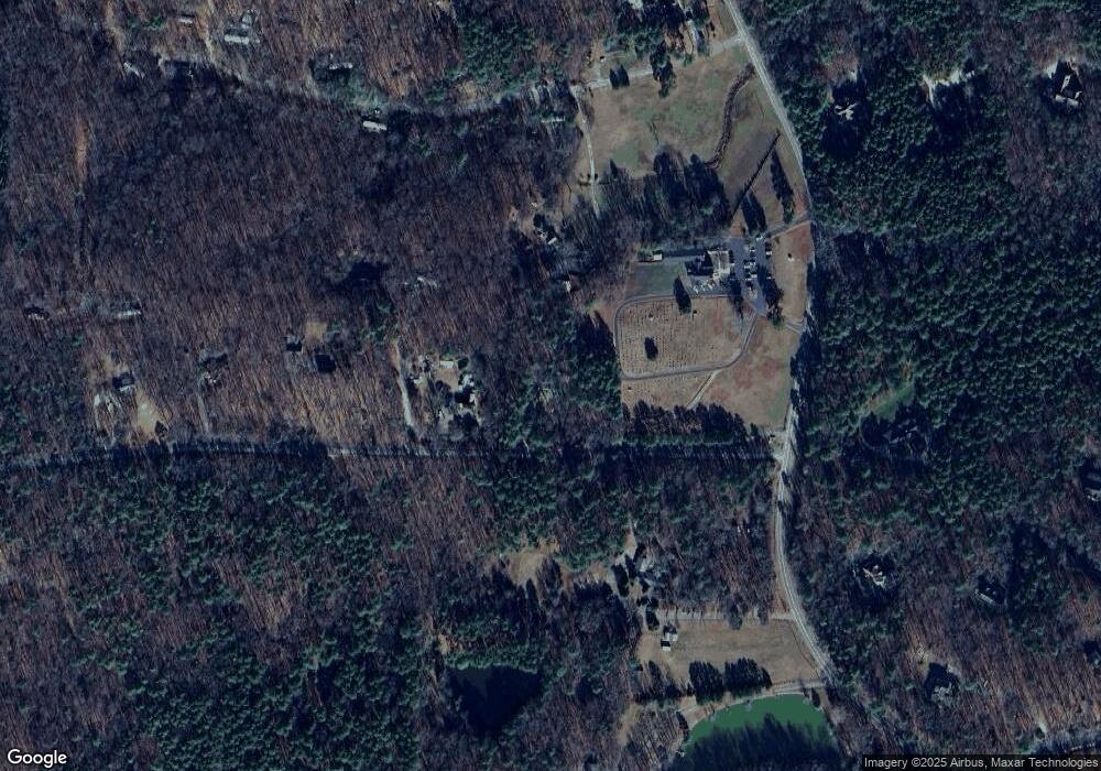
136 Maggie Ln Pittsboro, NC 27312
Estimated Value: $431,000 - $945,000
3
Beds
3
Baths
2,914
Sq Ft
$216/Sq Ft
Est. Value
About This Home
This home is located at 136 Maggie Ln, Pittsboro, NC 27312 and is currently estimated at $629,787, approximately $216 per square foot. 136 Maggie Ln is a home located in Chatham County with nearby schools including Perry W. Harrison Elementary School and Margaret B. Pollard Middle School.
Ownership History
Date
Name
Owned For
Owner Type
Purchase Details
Closed on
Jun 29, 2005
Sold by
Collins Hoyt Clifton
Bought by
Polson Jack Charles and Polson Linda Oldham
Current Estimated Value
Home Financials for this Owner
Home Financials are based on the most recent Mortgage that was taken out on this home.
Original Mortgage
$215,200
Outstanding Balance
$132,493
Interest Rate
8.57%
Mortgage Type
Assumption
Estimated Equity
$497,294
Create a Home Valuation Report for This Property
The Home Valuation Report is an in-depth analysis detailing your home's value as well as a comparison with similar homes in the area
Home Values in the Area
Average Home Value in this Area
Purchase History
| Date | Buyer | Sale Price | Title Company |
|---|---|---|---|
| Polson Jack Charles | $152,000 | None Available |
Source: Public Records
Mortgage History
| Date | Status | Borrower | Loan Amount |
|---|---|---|---|
| Open | Polson Jack Charles | $215,200 |
Source: Public Records
Tax History Compared to Growth
Tax History
| Year | Tax Paid | Tax Assessment Tax Assessment Total Assessment is a certain percentage of the fair market value that is determined by local assessors to be the total taxable value of land and additions on the property. | Land | Improvement |
|---|---|---|---|---|
| 2024 | $2,529 | $280,447 | $84,375 | $196,072 |
| 2023 | $2,529 | $280,447 | $84,375 | $196,072 |
| 2022 | $2,321 | $280,447 | $84,375 | $196,072 |
| 2021 | $2,293 | $280,447 | $84,375 | $196,072 |
| 2020 | $1,948 | $234,313 | $53,437 | $180,876 |
| 2019 | $1,948 | $234,313 | $53,437 | $180,876 |
| 2018 | $1,838 | $234,313 | $53,437 | $180,876 |
| 2017 | $1,838 | $234,313 | $53,437 | $180,876 |
| 2016 | $1,873 | $237,241 | $56,250 | $180,991 |
| 2015 | $1,834 | $235,717 | $56,250 | $179,467 |
| 2014 | $1,758 | $230,054 | $56,250 | $173,804 |
| 2013 | -- | $230,054 | $56,250 | $173,804 |
Source: Public Records
Map
Nearby Homes
- 0 Redgate Rd Unit 10102916
- 296 Silverberry
- 52 Newcastle Ct
- 541 Sunset Grove Dr
- 197 Boxwood Dr
- 213 Westhampton Dr
- 473 Westhampton Dr
- 274 Westhampton Dr
- 380 Hatley Rd
- 60 Citori Ct
- 114 Mountaintop Cir
- 517 Westhampton Dr
- 281 Mt Gilead Church Rd
- 407 High Woods Ridge
- 126 Harvest Ln
- 82 Byrd Ln
- 196 Mountaintop Cir
- 109 Henrys Ridge Rd
- 251 N Crest Dr
- 1825 Redbud
- 186 Maggie Ln
- 140 Redgate Rd
- 164 Redgate Rd
- 205 Redgate Rd
- 180 Redgate Rd
- 89 Roberson Rd
- 251 Maggie Ln
- 1599 Mount Gilead Church Rd
- 244 Redgate Rd
- 0 Mt Gilead Church Rd Unit 788726
- 0 Mt Gilead Church Rd Unit 556266
- 0 Mt Gilead Church Rd Unit TR997849
- 0 Mt Gilead Church Rd Unit TR997847
- 0 Mt Gilead Church Rd Unit TR1809692
- 0 Mt Gilead Church Rd Unit TR2048112
- 0 Mt Gilead Church Rd Unit TR2087919
- 1800 Mount Gilead Church Rd
- 166 Fox Glove
- 0 Redgate Rd Unit 1818485
- 0 Redgate Rd Unit 1818536
