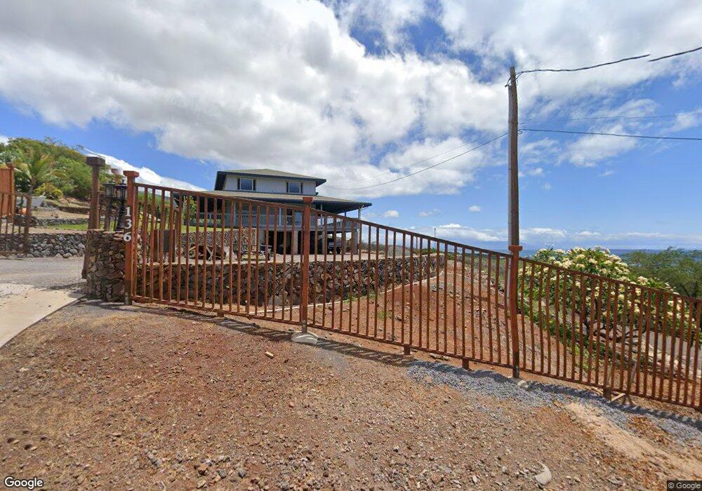
136 Makanui Rd Kaunakakai, HI 96748
Estimated Value: $1,081,000 - $1,530,000
4
Beds
3
Baths
3,540
Sq Ft
$348/Sq Ft
Est. Value
About This Home
This home is located at 136 Makanui Rd, Kaunakakai, HI 96748 and is currently estimated at $1,232,600, approximately $348 per square foot. 136 Makanui Rd is a home with nearby schools including Kaunakakai Elementary School, Molokai Middle School, and Molokai High School.
Ownership History
Date
Name
Owned For
Owner Type
Purchase Details
Closed on
Oct 28, 2002
Sold by
Makekau Stanley N B and Makekau Stanley
Bought by
Makekau Jeffery N
Current Estimated Value
Purchase Details
Closed on
Jul 31, 1996
Sold by
Hawkins Stewart Dewitt and Catana Donna Jean
Bought by
Riberal George Raymond and Riberal Beatrice Aguon
Home Financials for this Owner
Home Financials are based on the most recent Mortgage that was taken out on this home.
Original Mortgage
$57,900
Interest Rate
8.33%
Mortgage Type
Balloon
Create a Home Valuation Report for This Property
The Home Valuation Report is an in-depth analysis detailing your home's value as well as a comparison with similar homes in the area
Home Values in the Area
Average Home Value in this Area
Purchase History
| Date | Buyer | Sale Price | Title Company |
|---|---|---|---|
| Makekau Jeffery N | -- | -- | |
| Riberal George Raymond | $77,300 | -- |
Source: Public Records
Mortgage History
| Date | Status | Borrower | Loan Amount |
|---|---|---|---|
| Closed | Riberal George Raymond | $57,900 |
Source: Public Records
Tax History Compared to Growth
Tax History
| Year | Tax Paid | Tax Assessment Tax Assessment Total Assessment is a certain percentage of the fair market value that is determined by local assessors to be the total taxable value of land and additions on the property. | Land | Improvement |
|---|---|---|---|---|
| 2025 | $1,766 | $1,322,900 | $257,600 | $1,065,300 |
| 2024 | $1,766 | $1,281,200 | $257,600 | $1,023,600 |
| 2023 | $1,664 | $1,176,000 | $150,300 | $1,025,700 |
| 2022 | $1,739 | $1,069,600 | $128,800 | $940,800 |
| 2021 | $1,886 | $982,600 | $123,500 | $859,100 |
| 2020 | $2,053 | $1,017,600 | $128,800 | $888,800 |
| 2019 | $1,884 | $849,800 | $193,000 | $656,800 |
| 2018 | $1,940 | $880,600 | $204,700 | $675,900 |
| 2017 | $1,887 | $0 | $0 | $0 |
| 2016 | $1,737 | $843,200 | $219,600 | $623,600 |
| 2015 | -- | $779,900 | $216,300 | $563,600 |
Source: Public Records
Map
Nearby Homes
- 303 Makanui Rd Unit Lot 225
- 0 Makaiki Rd Unit 256 407146
- 2452 Kamehameha V Hwy
- 0 Uluanui Rd Unit 147 405878
- 441 Uluanui Rd
- 115 Ulua Rd
- 188 Ulua Rd
- 122 Ulua Rd
- 170 Ulua Rd
- 1715 Kamehameha V Hwy
- 361 Onioni Dr Unit Lot 44
- 1300 Kamehameha V Hwy Unit 202
- 87 Opua Place
- 1085 Nauwe St
- 215 Aahi Place
- 1000 Kam V Hwy Unit A-108
- 1000 Kamehameha V Hwy Unit A203
- 1000 Kamehameha V Hwy Unit 327B
- 1000 Kamehameha V Hwy Unit 211
- 1000 Kamehameha V Hwy
- 137 Makanui Rd
- 168 Makanui Rd
- 0 Makanui Rd Unit Lot 217 363473
- 0 Makanui Rd Unit Lot 225 201413282
- 0 Makanui Rd Unit 392702
- 0 Makanui Rd Unit Lot 241 389515
- 50 Makanui Rd
- 81 Makanui Rd
- 221 Makanui Rd
- 00 Makanui Rd
- 167 Makanui Rd
- 189 Makanui Rd
- 224 Makanui Rd
- 20 Makaiki Rd
- 228 Makanui Rd
- 211 Makaiki Rd Unit 211
- 222 Makanui Rd
- 234 Makanui Rd
- 64 Makaiki Rd