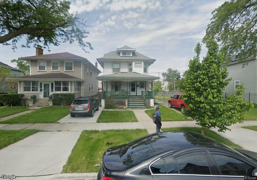
136 N Lorel Ave Chicago, IL 60644
Austin NeighborhoodEstimated Value: $176,000 - $351,000
3
Beds
1
Bath
1,472
Sq Ft
$167/Sq Ft
Est. Value
About This Home
This home is located at 136 N Lorel Ave, Chicago, IL 60644 and is currently estimated at $245,845, approximately $167 per square foot. 136 N Lorel Ave is a home located in Cook County with nearby schools including Ellington Elementary School, Catalyst Charter-Circle Rock Elementary School, and KIPP Academy Chicago Campus.
Ownership History
Date
Name
Owned For
Owner Type
Purchase Details
Closed on
Dec 2, 2021
Sold by
Sorrell Carl L and Sorrell Pamela
Bought by
Sorrell Carl L and Sorrell Pamela
Current Estimated Value
Purchase Details
Closed on
Jan 27, 2021
Sold by
Sorrell Maria and Sorrell Carl L
Bought by
Sorrell Carl L
Purchase Details
Closed on
Mar 26, 2010
Sold by
Sorrell Carl L and Sorrell Maria
Bought by
Sorrell Beverly J
Create a Home Valuation Report for This Property
The Home Valuation Report is an in-depth analysis detailing your home's value as well as a comparison with similar homes in the area
Home Values in the Area
Average Home Value in this Area
Purchase History
| Date | Buyer | Sale Price | Title Company |
|---|---|---|---|
| Sorrell Carl L | -- | Prairie Title | |
| Sorrell Carl L | -- | First American Title | |
| Sorrell Beverly J | -- | None Available |
Source: Public Records
Tax History
| Year | Tax Paid | Tax Assessment Tax Assessment Total Assessment is a certain percentage of the fair market value that is determined by local assessors to be the total taxable value of land and additions on the property. | Land | Improvement |
|---|---|---|---|---|
| 2025 | $2,465 | $20,300 | $6,300 | $14,000 |
| 2024 | $2,465 | $20,300 | $6,300 | $14,000 |
| 2023 | $2,382 | $17,401 | $4,988 | $12,413 |
| 2022 | $2,382 | $15,001 | $4,988 | $10,013 |
| 2021 | $2,346 | $14,999 | $4,987 | $10,012 |
| 2020 | $2,269 | $13,288 | $4,462 | $8,826 |
| 2019 | $2,277 | $14,765 | $4,462 | $10,303 |
| 2018 | $2,238 | $14,765 | $4,462 | $10,303 |
| 2017 | $2,115 | $13,202 | $3,937 | $9,265 |
| 2016 | $2,144 | $13,202 | $3,937 | $9,265 |
| 2015 | $1,939 | $13,202 | $3,937 | $9,265 |
| 2014 | $1,824 | $12,402 | $3,675 | $8,727 |
| 2013 | $1,777 | $12,402 | $3,675 | $8,727 |
Source: Public Records
Map
Nearby Homes
- 157 N Lorel Ave
- 206 N Lockwood Ave
- 220 N Lorel Ave
- 144 N Laramie Ave
- 139 N Laramie Ave
- 1100 S Menard St
- 4855 W Jackson Blvd
- 206 N Leamington Ave
- 332 N Lorel Ave
- 212 N Leamington Ave
- 4607 W Madison St
- 217 N Leamington Ave
- 174 N Leclaire Ave
- 46 N Central Ave
- 228 N Leclaire Ave
- 5105 W Madison St Unit 1-206
- 5252 W Ferdinand St
- 5038 W Fulton St
- 5242 W Ferdinand St
- 5055 W Madison St Unit 507
- 130 N Lorel Ave
- 130 N Lorel Ave
- 142 N Lorel Ave
- 126 N Lorel Ave
- 146 N Lorel Ave
- 120 N Lorel Ave
- 150 N Lorel Ave
- 118 N Lorel Ave
- 139 N Long Ave
- 133 N Long Ave
- 135 N Long Ave
- 141 N Long Ave
- 141 N Long Ave Unit 1
- 131 N Lorel Ave
- 129 N Long Ave
- 129 N Long Ave
- 145 N Long Ave Unit 1
- 145 N Long Ave
- 147 N Long Ave
- 147 N Long Ave