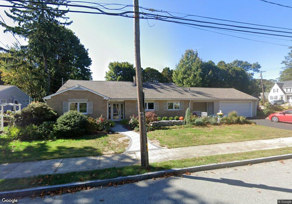
136 Parkway S New London, CT 06320
South New London NeighborhoodEstimated Value: $427,000 - $528,000
3
Beds
2
Baths
1,735
Sq Ft
$274/Sq Ft
Est. Value
About This Home
This home is located at 136 Parkway S, New London, CT 06320 and is currently estimated at $476,060, approximately $274 per square foot. 136 Parkway S is a home located in New London County with nearby schools including Harbor Elementary School, Bennie Dover Jackson Middle School, and New London High School.
Ownership History
Date
Name
Owned For
Owner Type
Purchase Details
Closed on
Dec 30, 2015
Sold by
Hogg Carolyn M
Bought by
Hogg Carolyn M and Hogg Randall G
Current Estimated Value
Purchase Details
Closed on
Oct 2, 2003
Sold by
Rutberg Morris and Rutberg Frances
Bought by
Mellisy Carolyn
Create a Home Valuation Report for This Property
The Home Valuation Report is an in-depth analysis detailing your home's value as well as a comparison with similar homes in the area
Home Values in the Area
Average Home Value in this Area
Purchase History
| Date | Buyer | Sale Price | Title Company |
|---|---|---|---|
| Hogg Carolyn M | -- | -- | |
| Hogg Carolyn M | -- | -- | |
| Mellisy Carolyn | $265,900 | -- | |
| Mellisy Carolyn | $265,900 | -- |
Source: Public Records
Mortgage History
| Date | Status | Borrower | Loan Amount |
|---|---|---|---|
| Previous Owner | Mellisy Carolyn | $87,500 | |
| Previous Owner | Mellisy Carolyn | $40,000 |
Source: Public Records
Tax History Compared to Growth
Tax History
| Year | Tax Paid | Tax Assessment Tax Assessment Total Assessment is a certain percentage of the fair market value that is determined by local assessors to be the total taxable value of land and additions on the property. | Land | Improvement |
|---|---|---|---|---|
| 2025 | $6,778 | $249,200 | $91,400 | $157,800 |
| 2024 | $6,853 | $249,200 | $91,400 | $157,800 |
| 2023 | $6,178 | $165,900 | $67,830 | $98,070 |
| 2022 | $5,947 | $159,390 | $67,830 | $91,560 |
| 2021 | $5,850 | $154,140 | $67,830 | $86,310 |
| 2020 | $5,887 | $154,140 | $67,830 | $86,310 |
| 2019 | $6,150 | $154,140 | $67,830 | $86,310 |
| 2018 | $5,857 | $133,910 | $59,850 | $74,060 |
| 2017 | $5,927 | $133,910 | $59,850 | $74,060 |
| 2016 | $5,418 | $133,910 | $59,850 | $74,060 |
| 2015 | $5,277 | $133,630 | $59,850 | $73,780 |
| 2014 | $4,580 | $133,630 | $59,850 | $73,780 |
Source: Public Records
Map
Nearby Homes
- 11 Glenwood Park S
- 7 Admiral Dr
- 17 Henderson Rd
- 899 Ocean Ave
- 845 Ocean Ave
- 925 Pequot Ave
- 597 Pequot Ave
- 41 Niles Hill Rd
- 1092 Ocean Ave
- 993 Pequot Ave
- 107 Niles Hill Rd Unit A
- 14 Park St
- 1176 Ocean Ave
- 41 Stuart Ave
- 57 Westridge Rd Unit B2
- 12 Greenfield St
- 142 Plant St
- 4 Ridgewood Ave
- 2 Maginnis Pkwy
- 2 Forest St
- 156 Glenwood Ave
- 130 Parkway S
- 139 Parkway S
- 133 Parkway S
- 160 Glenwood Ave
- 147 Glenwood Ave
- 155 Glenwood Ave
- 145 Glenwood Ave
- 127 Parkway S
- 159 Glenwood Ave
- 158 Parkway N
- 5 Reyquinn St
- 168 Glenwood Ave
- 7 Reyquinn St
- 118 Parkway S
- 119 Parkway S
- 163 Glenwood Ave
- 17 Reyquinn St
- 167 Glenwood Ave
- 9 Glenwood Park S