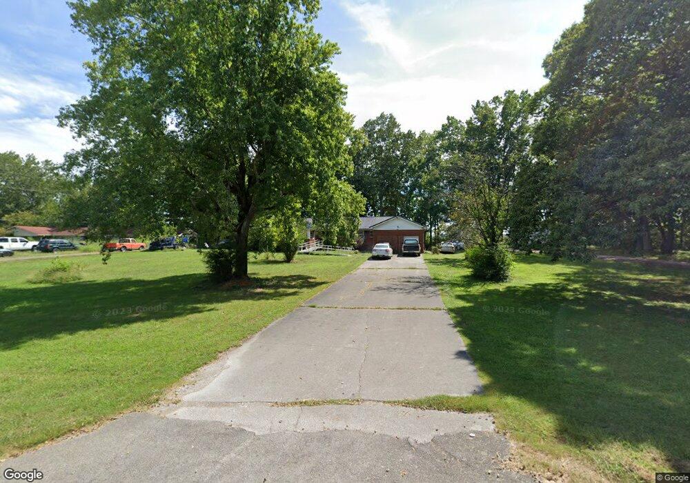
136 Riverside Dr Linden, TN 37096
Estimated Value: $234,000 - $428,000
--
Bed
2
Baths
2,505
Sq Ft
$128/Sq Ft
Est. Value
About This Home
This home is located at 136 Riverside Dr, Linden, TN 37096 and is currently estimated at $320,027, approximately $127 per square foot. 136 Riverside Dr is a home located in Perry County.
Ownership History
Date
Name
Owned For
Owner Type
Purchase Details
Closed on
Apr 25, 2025
Sold by
Tiller Tucker Betty
Bought by
Mackin Joseph William and Mackin Brittany Ann
Current Estimated Value
Purchase Details
Closed on
Nov 26, 2014
Sold by
Tucker James O
Bought by
Tucker Bettye T
Purchase Details
Closed on
Feb 19, 1991
Bought by
Tucker James O and Tucker Bettye
Purchase Details
Closed on
Jul 30, 1990
Bought by
Tucker Bettye T
Purchase Details
Closed on
Mar 20, 1959
Bought by
Tucker James O
Create a Home Valuation Report for This Property
The Home Valuation Report is an in-depth analysis detailing your home's value as well as a comparison with similar homes in the area
Home Values in the Area
Average Home Value in this Area
Purchase History
| Date | Buyer | Sale Price | Title Company |
|---|---|---|---|
| Mackin Joseph William | $16,500 | Holder Law & Title | |
| Tucker Bettye T | -- | -- | |
| Tucker James O | -- | -- | |
| Tucker Bettye T | -- | -- | |
| Tucker James O | -- | -- |
Source: Public Records
Tax History Compared to Growth
Tax History
| Year | Tax Paid | Tax Assessment Tax Assessment Total Assessment is a certain percentage of the fair market value that is determined by local assessors to be the total taxable value of land and additions on the property. | Land | Improvement |
|---|---|---|---|---|
| 2025 | $980 | $35,000 | $0 | $0 |
| 2024 | $980 | $35,000 | $7,500 | $27,500 |
| 2023 | $773 | $35,000 | $7,500 | $27,500 |
| 2022 | $942 | $33,675 | $7,500 | $26,175 |
| 2021 | $942 | $33,675 | $7,500 | $26,175 |
| 2020 | $773 | $33,675 | $7,500 | $26,175 |
| 2019 | $883 | $29,600 | $6,300 | $23,300 |
| 2018 | $883 | $29,600 | $6,300 | $23,300 |
| 2017 | $874 | $29,600 | $6,300 | $23,300 |
| 2016 | $874 | $29,600 | $6,300 | $23,300 |
| 2015 | $860 | $29,600 | $6,300 | $23,300 |
| 2014 | $860 | $29,600 | $6,300 | $23,300 |
| 2013 | $846 | $29,159 | $0 | $0 |
Source: Public Records
Map
Nearby Homes
- 218 Cedar Ave
- 122 Shelton St
- 130 Elm Ln
- 8072 Old Hohenwald Rd
- 5681 Old Hohenwald Rd
- 4439 Old Hohenwald Rd
- 7696 Old Hohenwald Rd
- 6004 Old Hohenwald Rd
- 5608 Old Hohenwald Rd
- 107 Possum Trot Ln
- 141 Maple St
- 245 S Mill St
- 0 Church St
- 0 Treadwell Prong Unit RTC2707562
- 628 Starlight Dr
- 2017 Airport Ridge Rd
- 8884 U S Highway 412
- 2082 Airport Ridge Rd
- Lot 4 Campers Ln
- Lot 5 Campers Ln
- 132 Riverside Dr
- 142 Riverside Dr
- 141 Riverside Dr
- 135 Riverside Dr
- 122 Riverside Dr
- 121 Riverside Dr
- 114 Riverside Dr
- 113 Riverside Dr
- 108 Riverside Dr
- 119 Cabin Dr
- 415 Cedar Dr
- 52 Tennessee 13
- 208 Southwood Dr
- 121 Cabin Dr
- 111 Riverside Dr
- 214 Southwood Dr
- 407 Cedar Dr
- 1015 Squirrel Hollow Dr
- 222 Southwood Dr
- 127 Cabin Dr