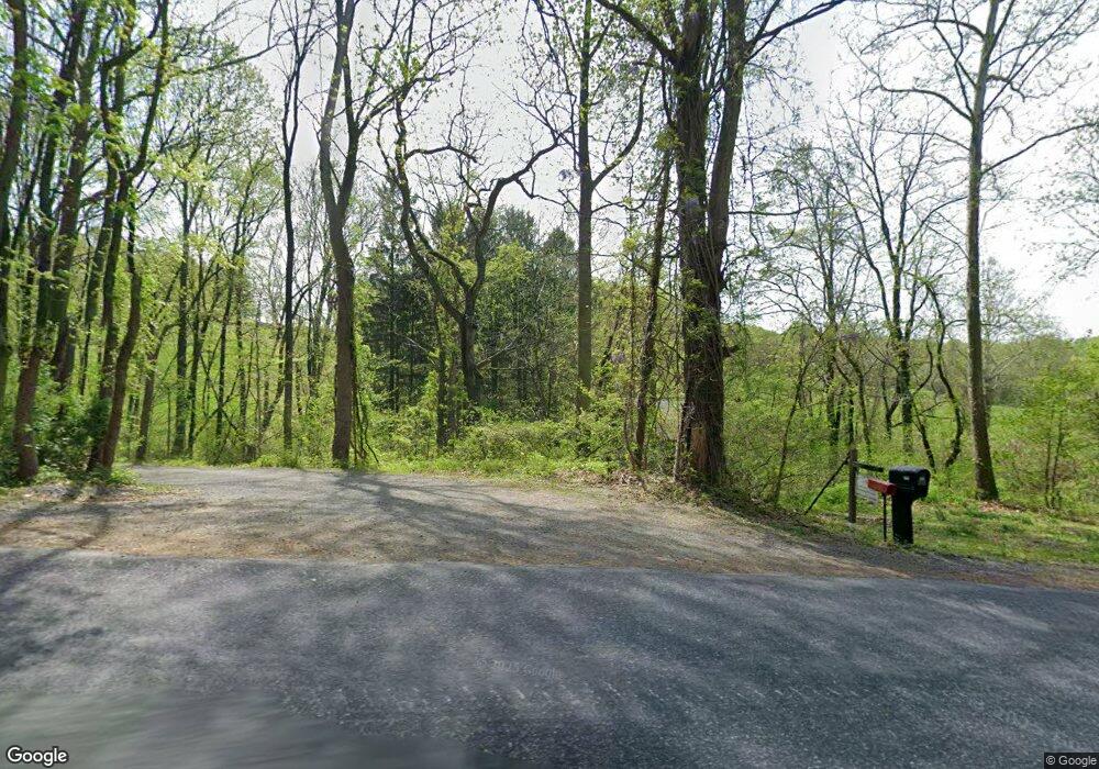
136 Smoketown Rd Mertztown, PA 19539
Rockland NeighborhoodEstimated Value: $260,000 - $407,272
3
Beds
2
Baths
1,380
Sq Ft
$243/Sq Ft
Est. Value
About This Home
This home is located at 136 Smoketown Rd, Mertztown, PA 19539 and is currently estimated at $335,757, approximately $243 per square foot. 136 Smoketown Rd is a home located in Berks County with nearby schools including Brandywine Heights Elementary School, Brandywine Intermediate School, and Brandywine Heights High School.
Ownership History
Date
Name
Owned For
Owner Type
Purchase Details
Closed on
Sep 29, 2021
Sold by
Deturck Robert C and Estate Of James H Deturck
Bought by
Deturck Robert C and Deturck Ruth A
Current Estimated Value
Purchase Details
Closed on
Apr 7, 2004
Sold by
Deturck Mary L
Bought by
Deturck James H and Deturck Robert C
Home Financials for this Owner
Home Financials are based on the most recent Mortgage that was taken out on this home.
Original Mortgage
$100,000
Outstanding Balance
$48,563
Interest Rate
6.12%
Mortgage Type
New Conventional
Estimated Equity
$287,194
Purchase Details
Closed on
Dec 17, 1997
Sold by
Deturck Mary L
Bought by
Deturck James H and Deturck Robert C
Home Financials for this Owner
Home Financials are based on the most recent Mortgage that was taken out on this home.
Original Mortgage
$175,000
Outstanding Balance
$26,743
Interest Rate
6.12%
Mortgage Type
New Conventional
Estimated Equity
$309,014
Purchase Details
Closed on
Dec 10, 1987
Bought by
Deturck James H
Create a Home Valuation Report for This Property
The Home Valuation Report is an in-depth analysis detailing your home's value as well as a comparison with similar homes in the area
Home Values in the Area
Average Home Value in this Area
Purchase History
| Date | Buyer | Sale Price | Title Company |
|---|---|---|---|
| Deturck Robert C | -- | None Available | |
| Deturck James H | -- | -- | |
| Deturck James H | -- | -- | |
| Deturck James H | -- | -- |
Source: Public Records
Mortgage History
| Date | Status | Borrower | Loan Amount |
|---|---|---|---|
| Open | Deturck James H | $100,000 | |
| Open | Deturck James H | $175,000 |
Source: Public Records
Tax History Compared to Growth
Tax History
| Year | Tax Paid | Tax Assessment Tax Assessment Total Assessment is a certain percentage of the fair market value that is determined by local assessors to be the total taxable value of land and additions on the property. | Land | Improvement |
|---|---|---|---|---|
| 2025 | $1,008 | $100,700 | $4,300 | $96,400 |
| 2024 | $4,565 | $100,700 | $4,300 | $96,400 |
| 2023 | $4,442 | $100,700 | $4,300 | $96,400 |
| 2022 | $4,338 | $100,700 | $4,300 | $96,400 |
| 2021 | $4,304 | $100,700 | $4,300 | $96,400 |
| 2020 | $4,270 | $100,700 | $4,300 | $96,400 |
| 2019 | $4,219 | $100,700 | $4,300 | $96,400 |
| 2018 | $4,173 | $100,700 | $4,300 | $96,400 |
| 2017 | $4,096 | $100,700 | $4,300 | $96,400 |
| 2016 | $826 | $100,700 | $4,300 | $96,400 |
| 2015 | $826 | $100,700 | $4,300 | $96,400 |
| 2014 | $826 | $100,700 | $4,300 | $96,400 |
Source: Public Records
Map
Nearby Homes
- 149 Smoketown Rd
- 145 Fredericksville Rd
- 13 Timothy Dr
- 20 Heffner Rd
- 101 Cider Mill Rd
- 0 State St Unit PABK2055498
- 0 State St Unit PABK2047158
- 16 Mellon School Ln
- 240 Ruth Rd
- 106 Hoch Ave
- 37 S Herbein Dr
- 0 Weavers Rd
- 210 S Home Ave
- 116 W Franklin St
- 14 Essig Dr
- 32 N Main St
- 24 Woods Ln
- 11 Woodland Ln
- 3 Woodland Ln
- 573 State St
- 137 Smoketown Rd
- 126 Smoketown Rd
- 147 Smoketown Rd
- 146 Smoketown Rd
- 155 Smoketown Rd
- 123 Smoketown Rd
- 122 Smoketown Rd
- 119 Fredericksville Rd
- 119 Smoketown Rd
- Lot 1 Smoketown Rd
- Lot 2 Smoketown Rd
- 117 Smoketown Rd
- 160 Smoketown Rd
- 115 Smoketown Rd
- 111 Fredericksville Rd
- 107 Fredericksville Rd
- 115 Fredericksville Rd
- 109 Fredericksville Rd
- 117 Fredericksville Rd
- 113 Smoketown Rd
