Estimated Value: $669,000 - $893,000
3
Beds
3
Baths
2,388
Sq Ft
$316/Sq Ft
Est. Value
About This Home
This home is located at 136 Tatnic Rd, Wells, ME 04090 and is currently estimated at $754,138, approximately $315 per square foot. 136 Tatnic Rd is a home with nearby schools including Wells Junior High School, Wells Elementary School, and Wells High School.
Ownership History
Date
Name
Owned For
Owner Type
Purchase Details
Closed on
Mar 13, 2009
Sold by
Chase Richard L
Bought by
Bunker Melanie
Current Estimated Value
Home Financials for this Owner
Home Financials are based on the most recent Mortgage that was taken out on this home.
Original Mortgage
$304,000
Outstanding Balance
$192,074
Interest Rate
4.93%
Mortgage Type
Unknown
Estimated Equity
$562,064
Create a Home Valuation Report for This Property
The Home Valuation Report is an in-depth analysis detailing your home's value as well as a comparison with similar homes in the area
Home Values in the Area
Average Home Value in this Area
Purchase History
| Date | Buyer | Sale Price | Title Company |
|---|---|---|---|
| Bunker Melanie | -- | -- |
Source: Public Records
Mortgage History
| Date | Status | Borrower | Loan Amount |
|---|---|---|---|
| Open | Bunker Melanie | $20,000 | |
| Open | Bunker Melanie | $304,000 |
Source: Public Records
Tax History Compared to Growth
Tax History
| Year | Tax Paid | Tax Assessment Tax Assessment Total Assessment is a certain percentage of the fair market value that is determined by local assessors to be the total taxable value of land and additions on the property. | Land | Improvement |
|---|---|---|---|---|
| 2024 | $3,577 | $588,300 | $143,160 | $445,140 |
| 2023 | $3,506 | $588,300 | $143,160 | $445,140 |
| 2022 | $3,549 | $339,280 | $75,420 | $263,860 |
| 2021 | $3,569 | $339,280 | $56,190 | $283,090 |
| 2020 | $3,556 | $339,280 | $56,370 | $282,910 |
| 2019 | $3,535 | $339,280 | $56,370 | $282,910 |
| 2018 | $3,501 | $339,280 | $75,420 | $263,860 |
| 2017 | $3,447 | $339,280 | $75,420 | $263,860 |
| 2016 | $3,413 | $339,280 | $75,420 | $263,860 |
| 2015 | $3,397 | $341,410 | $75,420 | $265,990 |
| 2013 | $3,114 | $341,410 | $75,420 | $265,990 |
Source: Public Records
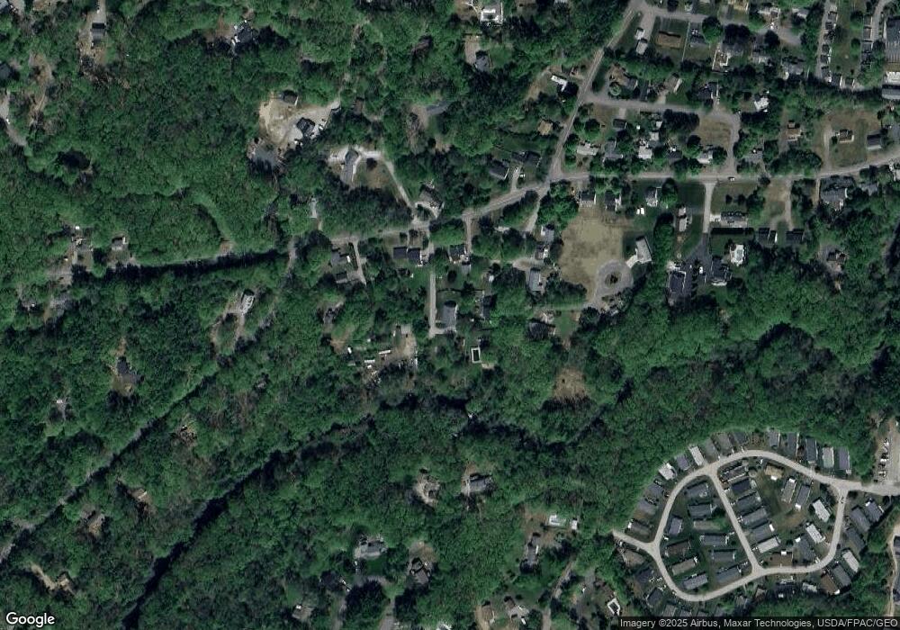
Map
Nearby Homes
- Lot 2 Maling Ln
- 64 Old Kings Hwy
- 31 Rebecca Rd
- 56 Kings Hwy
- 32 Tatnic Rd
- 32 Queens Way
- 191 Tatnic Rd Unit 73
- 53 Spinnaker Ridge Dr Unit 8
- 76 Post Rd Unit 17M &18M
- 718 Main St Unit A3
- 12 Whiporwill Dr
- 9 Bourne Ave Unit B6
- 9 Bourne Ave Unit P-22
- 173 Emerson Dr
- 1 Old County Rd Unit 702
- 1 Old County Rd Unit 165
- 1 Old County Rd Unit 132
- 25 Sawmill Ln
- 168 Ocean Ave
- 15 Blanchard St
- 327 Old County Rd
- 138 Tatnic Rd
- 349 Old County Rd
- 150 Tatnic Rd
- 7 Maling Ln
- 320 Old County Rd
- 130 Tatnic Rd
- 158 Tatnic Rd
- 118 Tatnic Rd
- 312 Old County Rd
- 168 Tatnic Rd
- 131 Tatnic Rd
- 306 Old County Rd
- 162 Tatnic Rd
- 67 Old Kings Hwy
- 167 Tatnic Rd
- 25 Maling Ln
- 67 Old Kings Hwy
- 181 Tatnic Rd
- 119 Tatnic Rd