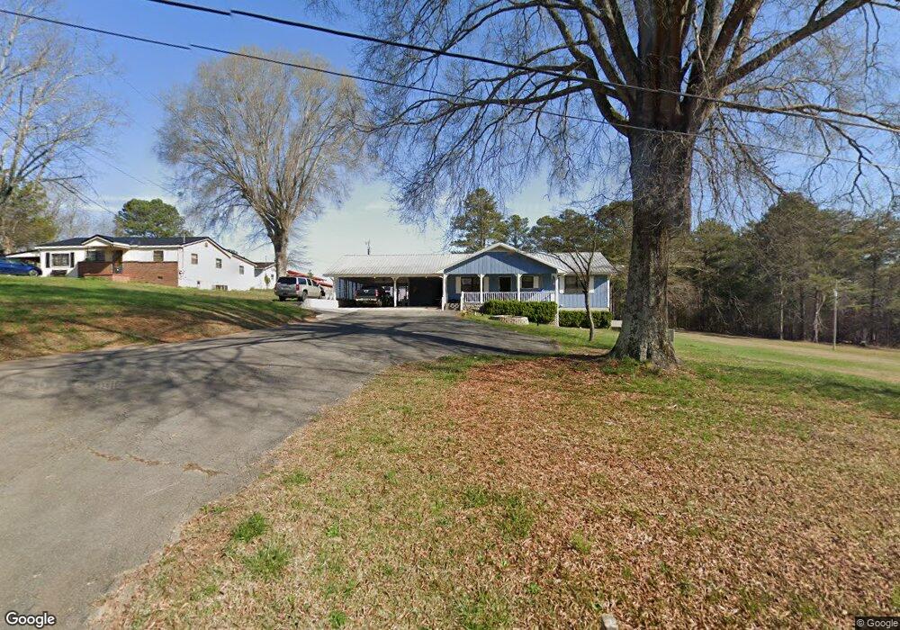
136 W Reed Rd La Fayette, GA 30728
Noble NeighborhoodEstimated Value: $217,000 - $275,151
--
Bed
2
Baths
1,600
Sq Ft
$155/Sq Ft
Est. Value
About This Home
This home is located at 136 W Reed Rd, La Fayette, GA 30728 and is currently estimated at $247,788, approximately $154 per square foot. 136 W Reed Rd is a home located in Walker County with nearby schools including Rock Spring Elementary School, Lafayette High School, and Lafayette Christian Academy.
Ownership History
Date
Name
Owned For
Owner Type
Purchase Details
Closed on
Jan 3, 2022
Sold by
Wilson Thomas
Bought by
Wilson Real Estate Leasing Co Llc
Current Estimated Value
Purchase Details
Closed on
Dec 25, 2018
Sold by
Long Jeffrey Paul
Bought by
Wilson Thomas
Purchase Details
Closed on
Feb 27, 2003
Sold by
Long Sandra Jo
Bought by
Long Raymond P
Purchase Details
Closed on
Sep 2, 1986
Sold by
Sandra Jo Long
Bought by
Carter Gladys Life Estate
Purchase Details
Closed on
Nov 8, 1979
Sold by
Quinn Dorothy J
Bought by
Sandra Jo Long
Purchase Details
Closed on
Nov 6, 1979
Sold by
Quinn James L and Quinn Wf
Bought by
Quinn Dorothy J
Purchase Details
Closed on
Apr 29, 1974
Bought by
Quinn James L and Quinn Wf
Create a Home Valuation Report for This Property
The Home Valuation Report is an in-depth analysis detailing your home's value as well as a comparison with similar homes in the area
Home Values in the Area
Average Home Value in this Area
Purchase History
| Date | Buyer | Sale Price | Title Company |
|---|---|---|---|
| Wilson Real Estate Leasing Co Llc | -- | -- | |
| Wilson Thomas | $102,300 | -- | |
| Long Raymond P | -- | -- | |
| Carter Gladys Life Estate | -- | -- | |
| Sandra Jo Long | -- | -- | |
| Quinn Dorothy J | -- | -- | |
| Quinn James L | -- | -- |
Source: Public Records
Tax History Compared to Growth
Tax History
| Year | Tax Paid | Tax Assessment Tax Assessment Total Assessment is a certain percentage of the fair market value that is determined by local assessors to be the total taxable value of land and additions on the property. | Land | Improvement |
|---|---|---|---|---|
| 2024 | $2,127 | $93,711 | $23,543 | $70,168 |
| 2023 | $1,991 | $85,301 | $18,685 | $66,616 |
| 2022 | $1,926 | $76,028 | $18,410 | $57,618 |
| 2021 | $1,837 | $65,216 | $18,410 | $46,806 |
| 2020 | $1,667 | $56,464 | $18,410 | $38,054 |
| 2019 | $1,274 | $56,464 | $18,410 | $38,054 |
| 2018 | $1,514 | $57,206 | $18,410 | $38,796 |
| 2017 | $360 | $57,206 | $18,410 | $38,796 |
| 2016 | $130 | $57,206 | $18,410 | $38,796 |
| 2015 | $148 | $52,098 | $14,218 | $37,879 |
| 2014 | $81 | $52,098 | $14,218 | $37,879 |
| 2013 | -- | $52,097 | $14,218 | $37,879 |
Source: Public Records
Map
Nearby Homes
- 516 W Reed Rd
- 63 Loughridge Ln
- Lot 3 Cedar Farm Rd
- 906 Diamond Cir
- 4544 N Highway 27
- 663 Diamond Cir
- 4582 Highway N 27
- 4654 Us Highway 27
- 521 Wheeler Rd
- 0 E Warren Rd Unit RTC2681365
- 0 E Warren Rd Unit 1395828
- Hanover Plan at Price's Crossing
- Cali Plan at Price's Crossing
- Belhaven Plan at Price's Crossing
- Aria Plan at Price's Crossing
- Penwell Plan at Price's Crossing
- Salem Plan at Price's Crossing
- 894 896 Wheeler Unit 1 & 2
- 894 896 Wheeler
- 0 Straight Gut Rd Unit 1521484