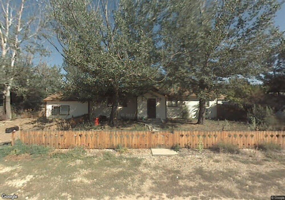
136 Willow Circle Dr Loveland, CO 80537
Estimated Value: $358,472 - $448,000
2
Beds
1
Bath
1,094
Sq Ft
$365/Sq Ft
Est. Value
About This Home
This home is located at 136 Willow Circle Dr, Loveland, CO 80537 and is currently estimated at $398,868, approximately $364 per square foot. 136 Willow Circle Dr is a home located in Larimer County with nearby schools including Carrie Martin Elementary School, Bill Reed Middle School, and Thompson Valley High School.
Ownership History
Date
Name
Owned For
Owner Type
Purchase Details
Closed on
Sep 9, 2003
Sold by
Reese Jerry D and Reese Nancy C
Bought by
Stacy Donal C
Current Estimated Value
Home Financials for this Owner
Home Financials are based on the most recent Mortgage that was taken out on this home.
Original Mortgage
$171,479
Outstanding Balance
$78,673
Interest Rate
6.08%
Mortgage Type
FHA
Estimated Equity
$320,195
Purchase Details
Closed on
Sep 1, 1992
Sold by
Parmley Vicki K By Steven J Aif
Bought by
Reese Nancy C
Create a Home Valuation Report for This Property
The Home Valuation Report is an in-depth analysis detailing your home's value as well as a comparison with similar homes in the area
Home Values in the Area
Average Home Value in this Area
Purchase History
| Date | Buyer | Sale Price | Title Company |
|---|---|---|---|
| Stacy Donal C | $174,000 | -- | |
| Reese Nancy C | $48,500 | -- |
Source: Public Records
Mortgage History
| Date | Status | Borrower | Loan Amount |
|---|---|---|---|
| Open | Stacy Donal C | $171,479 |
Source: Public Records
Tax History Compared to Growth
Tax History
| Year | Tax Paid | Tax Assessment Tax Assessment Total Assessment is a certain percentage of the fair market value that is determined by local assessors to be the total taxable value of land and additions on the property. | Land | Improvement |
|---|---|---|---|---|
| 2025 | $1,690 | $24,435 | $6,834 | $17,601 |
| 2024 | $1,631 | $24,435 | $6,834 | $17,601 |
| 2022 | $1,701 | $21,580 | $6,394 | $15,186 |
| 2021 | $1,916 | $22,201 | $6,578 | $15,623 |
| 2020 | $1,445 | $18,376 | $6,578 | $11,798 |
| 2019 | $1,421 | $18,376 | $6,578 | $11,798 |
| 2018 | $1,018 | $12,492 | $3,096 | $9,396 |
| 2017 | $876 | $12,492 | $3,096 | $9,396 |
| 2016 | $787 | $10,850 | $3,423 | $7,427 |
| 2015 | $780 | $10,850 | $3,420 | $7,430 |
| 2014 | $784 | $10,540 | $3,420 | $7,120 |
Source: Public Records
Map
Nearby Homes
- 4215 Page Place
- 4001 S Garfield Ave
- 492 Sunset Cliffs Dr
- 503 Book Cliffs Dr
- 502 Sunset Cliffs Dr
- 513 Book Cliffs Dr
- 512 Sunset Cliffs Dr
- 523 Book Cliffs Dr
- 533 Book Cliffs Dr
- 532 Sunset Cliffs Dr
- 162 Robin Dr
- 3621 Denise Ave
- 719 Wagon Bend Rd
- 575 Ranchhand Dr
- 767 Wagon Bend Rd
- 4601 N Sunshine Ct
- 942 Wagon Bend Rd
- 2771 Red Wheat Trail
- 882 Jenny Ln
- 513 Grand Market Ave
- 132 Willow Circle Dr
- 140 Willow Circle Dr
- 110 Willow Circle Dr
- 106 Willow Circle Dr
- 116 Willow Circle Dr
- 139 Willow Circle Dr
- 135 Willow Circle Dr
- 143 Willow Circle Dr
- 203 Hankins Ln
- 201 Hankins Ln
- 127 Willow
- 127 Willow Circle Dr
- 145 Willow Circle Dr
- 131 Willow Circle Dr
- 111 Willow
- 109 Willow Circle Dr
- 111 Willow Circle Dr
- 121 Willow Circle Dr
- 105 Willow Circle Dr
- 115 Willow Circle Dr